75 Blue Heron Way Eastham, MA 02642
Estimated Value: $858,000 - $1,043,000
4
Beds
3
Baths
2,100
Sq Ft
$454/Sq Ft
Est. Value
About This Home
This home is located at 75 Blue Heron Way, Eastham, MA 02642 and is currently estimated at $953,012, approximately $453 per square foot. 75 Blue Heron Way is a home located in Barnstable County with nearby schools including Eastham Elementary School, Nauset Regional Middle School, and Nauset Regional High School.
Ownership History
Date
Name
Owned For
Owner Type
Purchase Details
Closed on
Sep 29, 1995
Sold by
Indigo Ent Inc
Bought by
Nannini Anthony J and Herold Cassandra
Current Estimated Value
Purchase Details
Closed on
Dec 18, 1992
Sold by
Calderwood John
Bought by
Indigo Enterprises Inc
Create a Home Valuation Report for This Property
The Home Valuation Report is an in-depth analysis detailing your home's value as well as a comparison with similar homes in the area
Home Values in the Area
Average Home Value in this Area
Purchase History
| Date | Buyer | Sale Price | Title Company |
|---|---|---|---|
| Nannini Anthony J | $43,800 | -- | |
| Indigo Enterprises Inc | $60,000 | -- |
Source: Public Records
Mortgage History
| Date | Status | Borrower | Loan Amount |
|---|---|---|---|
| Open | Indigo Enterprises Inc | $15,000 | |
| Open | Indigo Enterprises Inc | $180,000 |
Source: Public Records
Tax History Compared to Growth
Tax History
| Year | Tax Paid | Tax Assessment Tax Assessment Total Assessment is a certain percentage of the fair market value that is determined by local assessors to be the total taxable value of land and additions on the property. | Land | Improvement |
|---|---|---|---|---|
| 2025 | $6,418 | $832,400 | $295,100 | $537,300 |
| 2024 | $5,710 | $814,600 | $286,500 | $528,100 |
| 2023 | $5,253 | $725,600 | $265,300 | $460,300 |
| 2022 | $4,859 | $566,300 | $236,900 | $329,400 |
| 2021 | $4,759 | $518,400 | $215,300 | $303,100 |
| 2020 | $4,391 | $503,500 | $219,700 | $283,800 |
| 2019 | $4,061 | $492,300 | $213,300 | $279,000 |
| 2018 | $3,993 | $478,200 | $207,100 | $271,100 |
| 2017 | $3,728 | $471,900 | $203,100 | $268,800 |
| 2016 | $3,477 | $467,300 | $203,100 | $264,200 |
| 2015 | $3,238 | $456,100 | $199,100 | $257,000 |
Source: Public Records
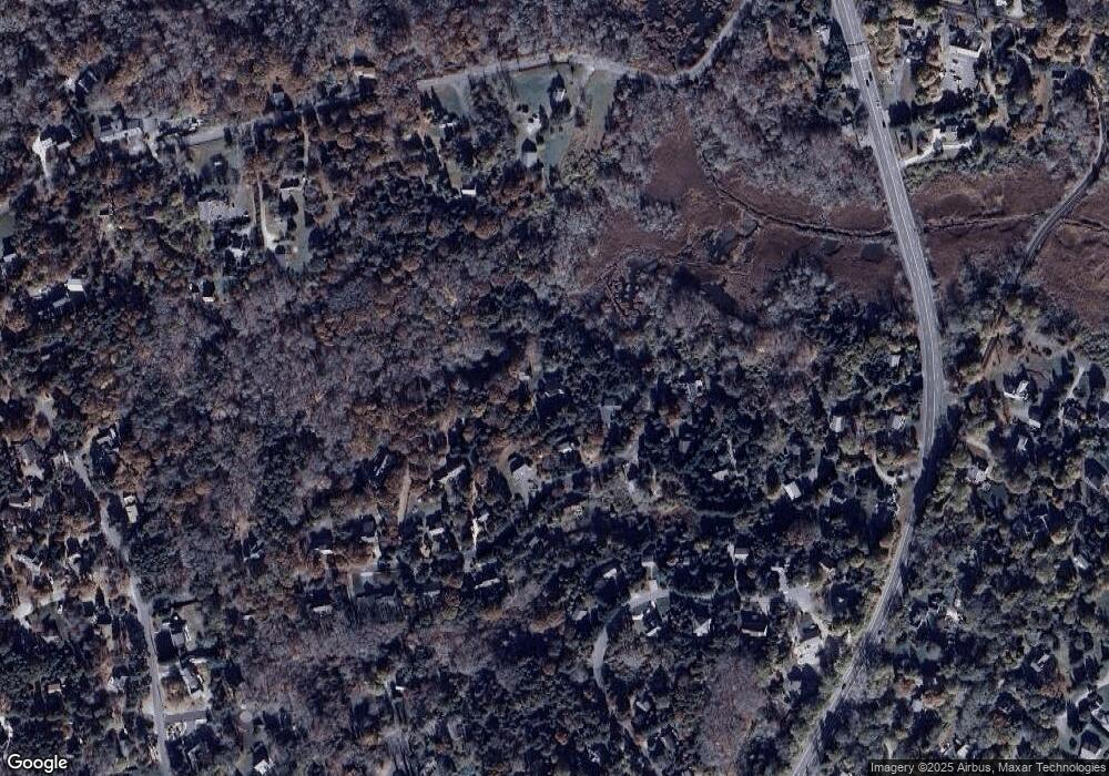
Map
Nearby Homes
- 330 Hay Rd
- 180 Country Ln
- 60 Smith Heights Way
- 1875 State Hwy
- 30 Cove Rd
- 1061 State Hwy Unit 4
- 25 Twin Rocks Dr
- 993 Intonti Way
- 995 Intonti Way
- 1975 State Hwy Unit 3
- 1975 State Hwy Unit 5
- 785 State Hwy Unit 9
- 20 Kittiwake Ln
- 20 White Pines Dr
- 6 Snow Way
- 46 Freeman Ln
- 320 State Hwy
- 645 Samoset Rd
- 3 Bramblewood Ln
- 150 Old State Hwy Unit Compound
- 95 Blue Heron Way
- 65 Blue Heron Way
- 15 Blue Heron Ct
- 70 Blue Heron Way
- 20 Blue Heron Ct
- 55 Blue Heron Way
- 100 Blue Heron Way
- 80 Blue Heron Way
- 90 Blue Heron Way
- 60 Blue Heron Way
- 10 Blue Heron Ct
- 25 Blue Heron Ct
- 45 Blue Heron Way
- 255 Governor Prence Rd
- 82 Blue Heron Way
- 11 Settlers Trace
- 11 Settler's Trace
- 155 Governor Prence Rd
- 13 Settlers Trace
- 13 Settler's Trace