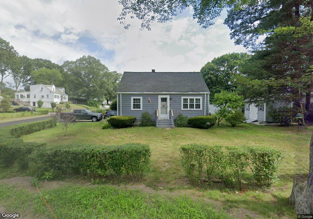
75 Charles Cir Stoughton, MA 02072
Estimated Value: $497,000 - $589,000
3
Beds
1
Bath
1,080
Sq Ft
$491/Sq Ft
Est. Value
About This Home
This home is located at 75 Charles Cir, Stoughton, MA 02072 and is currently estimated at $530,652, approximately $491 per square foot. 75 Charles Cir is a home located in Norfolk County with nearby schools including Helen Hansen Elementary School, O'Donnell Middle School, and Stoughton High School.
Ownership History
Date
Name
Owned For
Owner Type
Purchase Details
Closed on
Jul 25, 1997
Sold by
Roper Douglas W and Roper Giselle
Bought by
Sabanty Carol A and Sabanty George K
Current Estimated Value
Home Financials for this Owner
Home Financials are based on the most recent Mortgage that was taken out on this home.
Original Mortgage
$117,587
Outstanding Balance
$17,150
Interest Rate
7.7%
Mortgage Type
Purchase Money Mortgage
Estimated Equity
$513,502
Create a Home Valuation Report for This Property
The Home Valuation Report is an in-depth analysis detailing your home's value as well as a comparison with similar homes in the area
Home Values in the Area
Average Home Value in this Area
Purchase History
| Date | Buyer | Sale Price | Title Company |
|---|---|---|---|
| Sabanty Carol A | $130,000 | -- | |
| Sabanty Carol A | $130,000 | -- |
Source: Public Records
Mortgage History
| Date | Status | Borrower | Loan Amount |
|---|---|---|---|
| Open | Sabanty Carol A | $117,587 | |
| Closed | Sabanty Carol A | $117,587 | |
| Previous Owner | Sabanty Carol A | $103,500 | |
| Previous Owner | Sabanty Carol A | $105,600 |
Source: Public Records
Tax History
| Year | Tax Paid | Tax Assessment Tax Assessment Total Assessment is a certain percentage of the fair market value that is determined by local assessors to be the total taxable value of land and additions on the property. | Land | Improvement |
|---|---|---|---|---|
| 2025 | $5,224 | $422,000 | $210,300 | $211,700 |
| 2024 | $5,039 | $395,800 | $192,000 | $203,800 |
| 2023 | $4,855 | $358,300 | $175,500 | $182,800 |
| 2022 | $4,788 | $332,300 | $168,900 | $163,400 |
| 2021 | $4,530 | $300,000 | $149,000 | $151,000 |
| 2020 | $4,467 | $300,000 | $149,000 | $151,000 |
| 2019 | $4,436 | $289,200 | $149,000 | $140,200 |
| 2018 | $4,037 | $272,600 | $142,400 | $130,200 |
| 2017 | $3,711 | $256,100 | $140,700 | $115,400 |
| 2016 | $3,552 | $237,300 | $127,500 | $109,800 |
| 2015 | $3,490 | $230,700 | $120,900 | $109,800 |
| 2014 | $3,365 | $213,800 | $110,900 | $102,900 |
Source: Public Records
Map
Nearby Homes
- 90 Charles Cir
- 12 Eastwood Rd
- 55 Brian Dr Unit G
- 84 Kim Terrace
- 6 Jessica Dr Unit E
- 25 Bayberry Dr Unit 1
- 34 Copperwood Dr Unit 34
- 7 Belcher St
- 72 Copperwood Dr
- 296 Island St
- 117 Greenbrook Dr
- 109 Greenbrook Dr Unit 109
- 95 Greenbrook Dr Unit A95
- 67 Greenbrook Dr Unit 67
- 12 Greenbrook Dr
- 49 Elderwood Dr Unit 49
- 20 Dunbar St
- 85 Rosewood Dr Unit 28-1
- 34 Rosewood Dr Unit 34
- 64 Laurelwood Dr
Your Personal Tour Guide
Ask me questions while you tour the home.