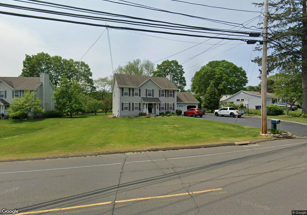
75 Daniels Farm Rd Trumbull, CT 06611
Trumbull Center NeighborhoodEstimated Value: $674,328 - $775,000
4
Beds
3
Baths
2,080
Sq Ft
$347/Sq Ft
Est. Value
About This Home
This home is located at 75 Daniels Farm Rd, Trumbull, CT 06611 and is currently estimated at $721,082, approximately $346 per square foot. 75 Daniels Farm Rd is a home located in Fairfield County with nearby schools including Middlebrook School, Hillcrest Middle School, and Trumbull High School.
Ownership History
Date
Name
Owned For
Owner Type
Purchase Details
Closed on
Apr 2, 2001
Sold by
Jjl Assoc Llc
Bought by
Vatali Angela and Vatali Michael
Current Estimated Value
Home Financials for this Owner
Home Financials are based on the most recent Mortgage that was taken out on this home.
Original Mortgage
$275,000
Outstanding Balance
$103,375
Interest Rate
6.96%
Estimated Equity
$572,689
Purchase Details
Closed on
May 19, 2000
Sold by
Bourne Lester A and Bourne Michele M
Bought by
Penco Building Llc
Create a Home Valuation Report for This Property
The Home Valuation Report is an in-depth analysis detailing your home's value as well as a comparison with similar homes in the area
Home Values in the Area
Average Home Value in this Area
Purchase History
| Date | Buyer | Sale Price | Title Company |
|---|---|---|---|
| Vatali Angela | $377,000 | -- | |
| Penco Building Llc | $100,000 | -- |
Source: Public Records
Mortgage History
| Date | Status | Borrower | Loan Amount |
|---|---|---|---|
| Open | Penco Building Llc | $275,000 |
Source: Public Records
Tax History Compared to Growth
Tax History
| Year | Tax Paid | Tax Assessment Tax Assessment Total Assessment is a certain percentage of the fair market value that is determined by local assessors to be the total taxable value of land and additions on the property. | Land | Improvement |
|---|---|---|---|---|
| 2025 | $9,655 | $261,520 | $112,700 | $148,820 |
| 2024 | $9,391 | $261,520 | $112,700 | $148,820 |
| 2023 | $9,240 | $261,520 | $112,700 | $148,820 |
| 2022 | $9,092 | $261,520 | $112,700 | $148,820 |
| 2021 | $8,741 | $239,190 | $102,480 | $136,710 |
| 2020 | $8,575 | $239,190 | $102,480 | $136,710 |
| 2018 | $8,363 | $239,190 | $102,480 | $136,710 |
| 2017 | $8,195 | $239,190 | $102,480 | $136,710 |
| 2016 | $8,030 | $239,190 | $102,480 | $136,710 |
| 2015 | $8,511 | $250,600 | $107,500 | $143,100 |
| 2014 | $8,328 | $250,600 | $107,500 | $143,100 |
Source: Public Records
Map
Nearby Homes
- 33 Manor Dr
- 33 Rexview Cir
- 26 Pequonnock Rd
- Lot 31 Valley View Rd
- 91 Lounsbury Rd
- 34 Wesley Dr
- 19 Washington St
- 12 Sunnycrest Rd
- 10 Twitchgrass Rd
- 34 Leonard Place
- 26 Lincoln St
- 49 Locust St
- 2 Fairchild Cir
- 84 Cider Mill Ln
- 1655 Old Town Rd
- 65 Cider Mill Ln
- 17 Old Orchard Ln
- 287 Booth Hill Rd
- 45 Frenchtown Rd
- 373 Booth Hill Rd
- 65 Daniels Farm Rd
- 91 Daniels Farm Rd
- 7 Ward Place
- 11 Ward Place
- 99 Daniels Farm Rd
- 49 Daniels Farm Rd
- 49 Daniels Farm Rd Unit G
- 49 Daniels Farm Rd Unit C
- 49 Daniels Farm Rd Unit H
- 49 Daniels Farm Rd
- 49 Daniels Farm Rd Unit I
- 49 Daniels Farm Rd Unit E
- 49 Daniels Farm Rd Unit F
- 49 Daniels Farm Rd Unit A
- 49 Daniels Farm Rd Unit D
- 49 Daniels Farm Rd Unit J
- 49 Daniels Farm Rd Unit K
- 92 Daniels Farm Rd
- 76 Daniels Farm Rd
- 15 Ward Place