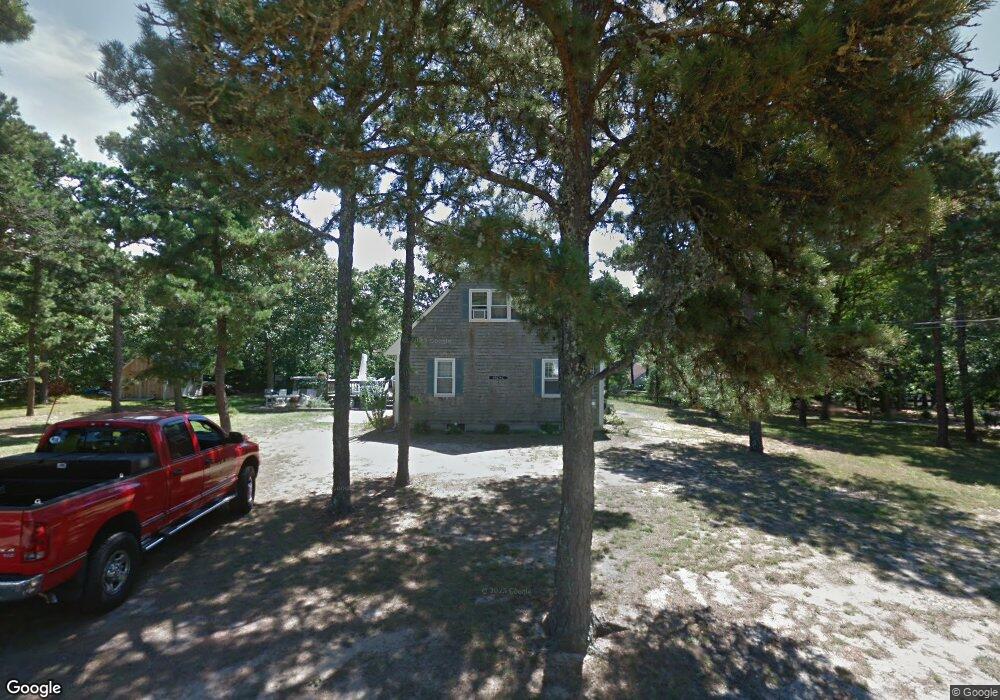
75 Devon Ln Eastham, MA 02642
Estimated Value: $641,000 - $903,000
4
Beds
2
Baths
1,866
Sq Ft
$427/Sq Ft
Est. Value
About This Home
This home is located at 75 Devon Ln, Eastham, MA 02642 and is currently estimated at $796,566, approximately $426 per square foot. 75 Devon Ln is a home located in Barnstable County with nearby schools including Eastham Elementary School, Nauset Regional Middle School, and Nauset Regional High School.
Ownership History
Date
Name
Owned For
Owner Type
Purchase Details
Closed on
Jan 28, 2025
Sold by
Oberg Margaret A and Ford Mary O
Bought by
Oberg Margaret A and Ford Mary O
Current Estimated Value
Purchase Details
Closed on
Nov 26, 2012
Sold by
Oberg Joan M and Oberg Arne R
Bought by
Oberg Margaret A and Oberg Amy A
Purchase Details
Closed on
Mar 8, 2010
Sold by
Oberg Arne R and Oberg Joan M
Bought by
Oberg Margaret A and Oberg Arne R
Purchase Details
Closed on
Dec 31, 2008
Sold by
Oberg Arne R and Oberg Joan M
Bought by
Oberg Amy A and Oberg Arne R
Purchase Details
Closed on
Feb 8, 2007
Sold by
Oberg Arne R and Oberg Joan M
Bought by
Oberg Amy A and Oberg Arne R
Purchase Details
Closed on
Dec 30, 2004
Sold by
Oberg Arne R and Oberg Joan M
Bought by
Oberg Amy A and Oberg Arne R
Create a Home Valuation Report for This Property
The Home Valuation Report is an in-depth analysis detailing your home's value as well as a comparison with similar homes in the area
Home Values in the Area
Average Home Value in this Area
Purchase History
| Date | Buyer | Sale Price | Title Company |
|---|---|---|---|
| Oberg Margaret A | -- | None Available | |
| Oberg Margaret A | -- | -- | |
| Oberg Margaret A | -- | -- | |
| Oberg Margaret A | -- | -- | |
| Oberg Margaret A | -- | -- | |
| Oberg Margaret A | -- | -- | |
| Oberg Amy A | -- | -- | |
| Oberg Amy A | -- | -- | |
| Oberg Amy A | -- | -- | |
| Oberg Amy A | -- | -- | |
| Oberg Amy A | -- | -- | |
| Oberg Amy A | -- | -- |
Source: Public Records
Tax History
| Year | Tax Paid | Tax Assessment Tax Assessment Total Assessment is a certain percentage of the fair market value that is determined by local assessors to be the total taxable value of land and additions on the property. | Land | Improvement |
|---|---|---|---|---|
| 2025 | $5,341 | $692,800 | $268,900 | $423,900 |
| 2024 | $4,756 | $678,500 | $261,100 | $417,400 |
| 2023 | $4,310 | $595,300 | $241,800 | $353,500 |
| 2022 | $4,048 | $471,800 | $215,900 | $255,900 |
| 2021 | $3,966 | $432,000 | $196,200 | $235,800 |
| 2020 | $3,671 | $421,000 | $200,300 | $220,700 |
| 2019 | $3,396 | $411,600 | $194,400 | $217,200 |
| 2018 | $3,338 | $399,800 | $188,800 | $211,000 |
| 2017 | $3,117 | $394,600 | $185,100 | $209,500 |
| 2016 | $2,702 | $363,200 | $157,300 | $205,900 |
| 2015 | $2,533 | $356,800 | $154,200 | $202,600 |
Source: Public Records
Map
Nearby Homes
- 495 Aspinet Rd
- 115 Wamsutta Rd
- 18 Jay Dee Ln
- 80 Quason Dr
- 35 Wiley Ln
- 5470 State Hwy
- 20 Oak Rd
- 100 Gigi Ln
- 49 Village Ln
- 340 Salt Works Rd
- 255 Epanow Rd
- 255 Massasoit Rd
- 65 Harmes Way
- 85 Huckleberry Ln
- 46 Spring Brook Rd
- 82 Old Orchard Rd
- 600 Kingsbury Beach Rd
- 300 School House Rd
- 157 Brownell Rd
- 3098 State Hwy
Your Personal Tour Guide
Ask me questions while you tour the home.