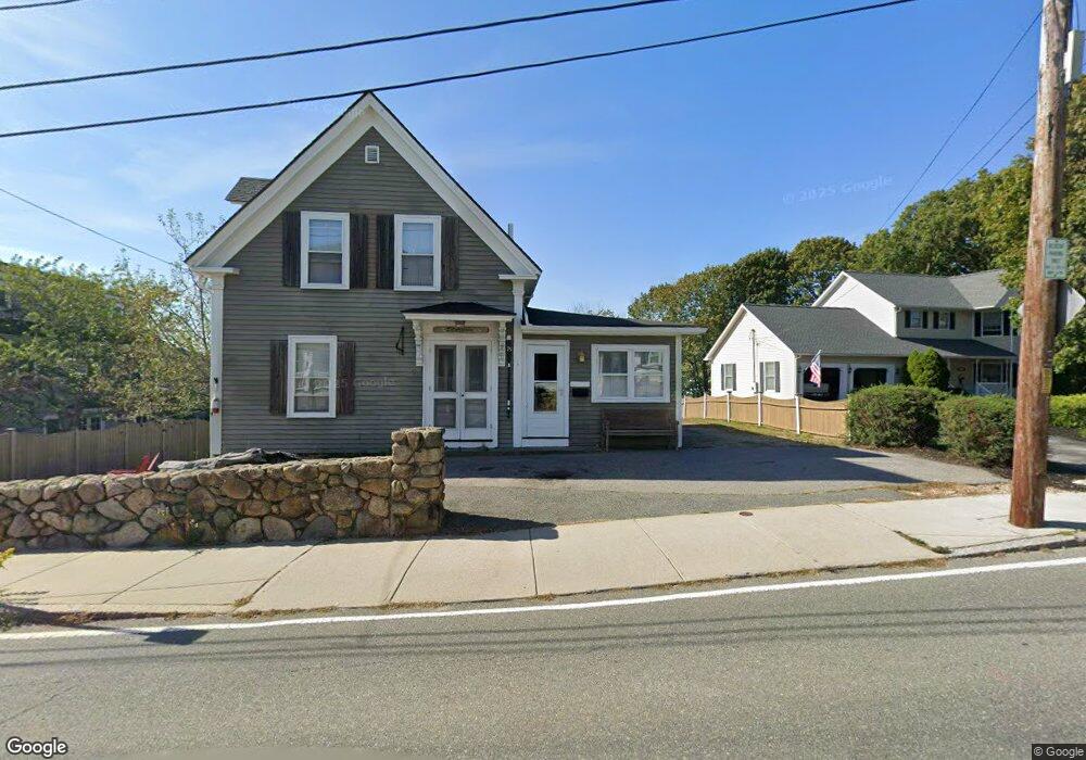
75 Eastern Point Rd Gloucester, MA 01930
East Gloucester NeighborhoodEstimated Value: $749,000 - $907,112
5
Beds
3
Baths
1,930
Sq Ft
$435/Sq Ft
Est. Value
About This Home
This home is located at 75 Eastern Point Rd, Gloucester, MA 01930 and is currently estimated at $838,778, approximately $434 per square foot. 75 Eastern Point Rd is a home located in Essex County with nearby schools including East Gloucester Elementary School, Ralph B O'maley Middle School, and Gloucester High School.
Ownership History
Date
Name
Owned For
Owner Type
Purchase Details
Closed on
Sep 28, 2004
Sold by
Paynotta Virginia F
Bought by
Boucher Stephen M and Boucher Mary Ann
Current Estimated Value
Home Financials for this Owner
Home Financials are based on the most recent Mortgage that was taken out on this home.
Original Mortgage
$250,000
Interest Rate
5.89%
Mortgage Type
Purchase Money Mortgage
Create a Home Valuation Report for This Property
The Home Valuation Report is an in-depth analysis detailing your home's value as well as a comparison with similar homes in the area
Home Values in the Area
Average Home Value in this Area
Purchase History
| Date | Buyer | Sale Price | Title Company |
|---|---|---|---|
| Boucher Stephen M | $500,000 | -- |
Source: Public Records
Mortgage History
| Date | Status | Borrower | Loan Amount |
|---|---|---|---|
| Open | Boucher Stephen M | $620,000 | |
| Closed | Boucher Stephen M | $400,000 | |
| Closed | Boucher Stephen M | $250,000 | |
| Closed | Boucher Stephen M | $240,000 |
Source: Public Records
Tax History
| Year | Tax Paid | Tax Assessment Tax Assessment Total Assessment is a certain percentage of the fair market value that is determined by local assessors to be the total taxable value of land and additions on the property. | Land | Improvement |
|---|---|---|---|---|
| 2025 | $7,399 | $761,200 | $424,600 | $336,600 |
| 2024 | $7,210 | $741,000 | $404,400 | $336,600 |
| 2023 | $7,438 | $702,400 | $361,100 | $341,300 |
| 2022 | $6,889 | $587,300 | $314,100 | $273,200 |
| 2021 | $6,655 | $535,000 | $285,500 | $249,500 |
| 2020 | $5,534 | $448,800 | $213,500 | $235,300 |
| 2019 | $5,313 | $418,700 | $213,500 | $205,200 |
| 2018 | $5,107 | $395,000 | $213,500 | $181,500 |
| 2017 | $4,908 | $372,100 | $203,300 | $168,800 |
| 2016 | $4,728 | $347,400 | $192,900 | $154,500 |
| 2015 | $4,676 | $342,600 | $192,900 | $149,700 |
Source: Public Records
Map
Nearby Homes
- 15 Raven Ln Unit 15
- 1 Wonson St
- 11 Ocean View Dr
- 73 Rocky Neck Ave Unit 2
- 10 Seaview Rd
- 60 Rocky Neck Ave Unit 202
- 197 E Main St Unit 1
- 100 Eastern Point Blvd
- 191 Main St Unit 3
- 191 Main St Unit 2A
- 33 Middle St
- 35 Middle St Unit 4
- 139A Prospect St
- 20 Beacon St
- 20 Beacon St Unit 2
- 20 Beacon St Unit 1
- 15 Mount Vernon St
- 13 Leslie o Johnson Rd
- 3 Mondello Square
- 113 Pleasant St
- 1 Island Rock Ln
- 1 Island Rock Ln
- 73 Eastern Point Rd
- 64 Eastern Point Rd Unit 2
- 64 Eastern Point Rd Unit 1
- 3 Island Rock Ln
- 58 Eastern Point Rd
- 67 Eastern Point Rd
- 62 Eastern Point Rd Unit WINTER
- 66 Eastern Point Rd
- 1 Locust Ln
- 1 Eastern Point Blvd
- 1 Eastern Point Blvd Unit 1
- 1 Eastern Point Blvd Unit 3
- 1 Eastern Point Blvd Unit 2
- 1 Eastern Point Blvd Unit 4
- 62 Eastern Point Rd Unit 2
- 62 Eastern Point Rd
- 62 Eastern Point Rd
- 62 Eastern Point Rd Unit WINTER
Your Personal Tour Guide
Ask me questions while you tour the home.