Estimated Value: $184,000 - $393,000
3
Beds
1
Bath
1,278
Sq Ft
$233/Sq Ft
Est. Value
About This Home
This home is located at 75 Farnsworth Ave, Athol, MA 01331 and is currently estimated at $298,231, approximately $233 per square foot. 75 Farnsworth Ave is a home located in Worcester County with nearby schools including Athol High School.
Ownership History
Date
Name
Owned For
Owner Type
Purchase Details
Closed on
Sep 20, 2005
Sold by
Watts Donald W and Watts Sandra L
Bought by
Burton Eric D and Burton Terry L
Current Estimated Value
Home Financials for this Owner
Home Financials are based on the most recent Mortgage that was taken out on this home.
Original Mortgage
$50,000
Outstanding Balance
$26,733
Interest Rate
5.84%
Mortgage Type
Purchase Money Mortgage
Estimated Equity
$271,498
Create a Home Valuation Report for This Property
The Home Valuation Report is an in-depth analysis detailing your home's value as well as a comparison with similar homes in the area
Home Values in the Area
Average Home Value in this Area
Purchase History
| Date | Buyer | Sale Price | Title Company |
|---|---|---|---|
| Burton Eric D | $25,000 | -- |
Source: Public Records
Mortgage History
| Date | Status | Borrower | Loan Amount |
|---|---|---|---|
| Open | Burton Eric D | $50,000 |
Source: Public Records
Tax History Compared to Growth
Tax History
| Year | Tax Paid | Tax Assessment Tax Assessment Total Assessment is a certain percentage of the fair market value that is determined by local assessors to be the total taxable value of land and additions on the property. | Land | Improvement |
|---|---|---|---|---|
| 2025 | $2,566 | $201,900 | $47,000 | $154,900 |
| 2024 | $2,453 | $191,200 | $47,000 | $144,200 |
| 2023 | $2,296 | $163,500 | $34,000 | $129,500 |
| 2022 | $2,321 | $144,600 | $32,300 | $112,300 |
| 2021 | $2,275 | $128,800 | $29,400 | $99,400 |
| 2020 | $2,122 | $123,500 | $26,800 | $96,700 |
| 2019 | $1,972 | $113,000 | $25,200 | $87,800 |
| 2018 | $2,010 | $102,700 | $22,900 | $79,800 |
| 2017 | $1,842 | $90,300 | $22,900 | $67,400 |
| 2016 | $1,701 | $85,800 | $22,900 | $62,900 |
| 2015 | $1,633 | $85,800 | $22,900 | $62,900 |
| 2014 | $1,581 | $85,800 | $22,900 | $62,900 |
Source: Public Records
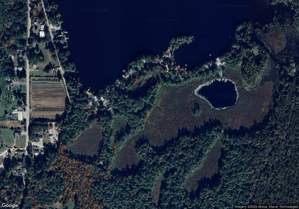
Map
Nearby Homes
- 0 Riceville Rd Unit 73429842
- 53 Daniel Shays Hwy
- 837 Partridgeville Rd Unit 3B
- 0000 Gage Rd
- Lot 1 Coolidge St
- 11 Jeri Dr
- 58 Earl Dr
- 189 Robert Dr
- 0 S Main St
- 31 Benham St
- 20 Marjorie St
- 0 Brickyard Rd
- 1 Batchelder Rd
- 288 Chase Rd
- 321 Doe Valley Rd
- 610 S Main St
- 276 Brickyard Rd
- 113 New Athol Rd Unit 27
- 340 Brickyard Rd
- Back Lot 0 Petersham Rd
- 132 Farnsworth Ave
- 106 Farnsworth Ave
- 150 Farnsworth Ave
- 160 Farnsworth Ave
- 73 Farnsworth Ave
- 174 Farnsworth Ave
- 90 Farnsworth Ave
- 250 Farnsworth Ave
- 204 Farnsworth Ave
- 68 Farnsworth Ave
- 212 Farnsworth Ave
- 52 Farnsworth Ave
- 38 Farnsworth Ave
- 218 Farnsworth Ave
- 300 Farnsworth Ave
- 168 Northern Ave
- 5 Farnsworth Ave
- 322 Farnsworth Ave
- 130 Northern Ave
- 104 Northern Ave