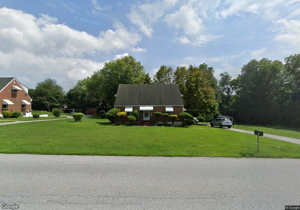
75 Glencrest Rd Coatesville, PA 19320
Valley NeighborhoodEstimated Value: $294,817 - $345,000
2
Beds
1
Bath
1,701
Sq Ft
$188/Sq Ft
Est. Value
About This Home
This home is located at 75 Glencrest Rd, Coatesville, PA 19320 and is currently estimated at $319,454, approximately $187 per square foot. 75 Glencrest Rd is a home located in Chester County with nearby schools including Kings Highway Elementary School, Coatesville Intermediate High School, and Coatesville Area Senior High School.
Ownership History
Date
Name
Owned For
Owner Type
Purchase Details
Closed on
Dec 28, 2001
Sold by
Thompson Dorothy
Bought by
Deveaux Ronald and Deveaux Rosalyn
Current Estimated Value
Home Financials for this Owner
Home Financials are based on the most recent Mortgage that was taken out on this home.
Original Mortgage
$106,200
Outstanding Balance
$45,948
Interest Rate
7.87%
Estimated Equity
$273,506
Create a Home Valuation Report for This Property
The Home Valuation Report is an in-depth analysis detailing your home's value as well as a comparison with similar homes in the area
Home Values in the Area
Average Home Value in this Area
Purchase History
| Date | Buyer | Sale Price | Title Company |
|---|---|---|---|
| Deveaux Ronald | $132,800 | T A Title Insurance Co |
Source: Public Records
Mortgage History
| Date | Status | Borrower | Loan Amount |
|---|---|---|---|
| Open | Deveaux Ronald | $106,200 | |
| Closed | Deveaux Ronald | $26,550 |
Source: Public Records
Tax History
| Year | Tax Paid | Tax Assessment Tax Assessment Total Assessment is a certain percentage of the fair market value that is determined by local assessors to be the total taxable value of land and additions on the property. | Land | Improvement |
|---|---|---|---|---|
| 2025 | $4,747 | $93,320 | $41,310 | $52,010 |
| 2024 | $4,747 | $93,320 | $41,310 | $52,010 |
| 2023 | $4,626 | $93,320 | $41,310 | $52,010 |
| 2022 | $4,483 | $93,320 | $41,310 | $52,010 |
| 2021 | $4,344 | $93,320 | $41,310 | $52,010 |
| 2020 | $4,304 | $93,320 | $41,310 | $52,010 |
| 2019 | $4,146 | $93,320 | $41,310 | $52,010 |
| 2018 | $3,974 | $93,320 | $41,310 | $52,010 |
| 2017 | $3,717 | $93,320 | $41,310 | $52,010 |
| 2016 | $2,874 | $93,320 | $41,310 | $52,010 |
| 2015 | $2,874 | $93,320 | $41,310 | $52,010 |
| 2014 | $2,874 | $93,320 | $41,310 | $52,010 |
Source: Public Records
Map
Nearby Homes
- 401 Brickus Cir
- 100 Marquis Dr
- 705 W Lincoln Hwy
- 110 Coldbrooke Ln
- 220 Church St
- 914 and 918 Lafayette St
- 801 Franklin St
- 640 Old Lincoln Hwy
- 0 Mount Pleasant St
- 929 W Main St
- 0 Ross Ln
- 432 Mount Pleasant St
- 809 Meadowbrook Dr
- 354 Mount Pleasant St
- 924 Lafayette
- 967 W Main St
- 125 Irish Ln
- 322 Charles St
- 721 Valley Rd
- 1410 Brick Row
- 81 Glencrest Rd
- 428 Brickus Cir
- 115 Millview Dr
- 117 Millview Dr
- 424 Brickus Cir
- 424 Brickus Cir
- 424 Brooks Ln
- 99 Glencrest Rd
- 119 Millview Dr
- 433 Brickus Cir
- 111 Millview Dr
- 445 Brickus Cir
- 420 Brickus Cir
- 109 Millview Dr
- 121 Millview Dr
- 103 Glencrest Rd
- 107 Millview Dr
- 55 Glencrest Rd
- 0 Dague Farm Dr Unit 1007141804
- 0 Dague Farm Dr Unit 1007121486
Your Personal Tour Guide
Ask me questions while you tour the home.