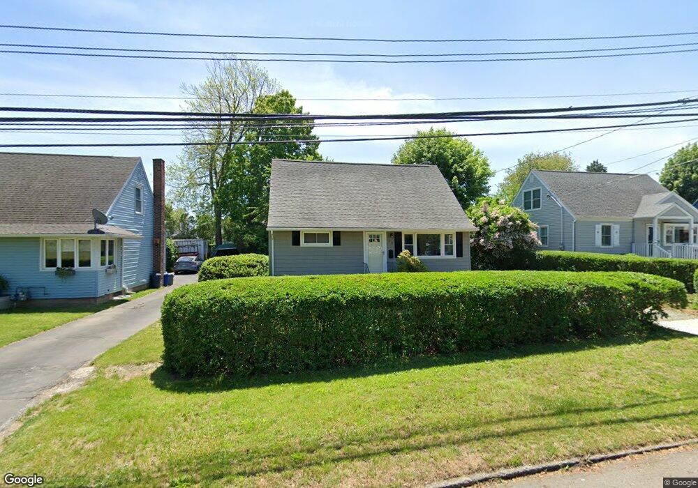
75 Hartland St Stratford, CT 06615
Lordship NeighborhoodEstimated Value: $549,000 - $617,000
4
Beds
2
Baths
1,626
Sq Ft
$359/Sq Ft
Est. Value
About This Home
This home is located at 75 Hartland St, Stratford, CT 06615 and is currently estimated at $583,906, approximately $359 per square foot. 75 Hartland St is a home located in Fairfield County with nearby schools including Lordship School, David Wooster Middle School, and Stratford High School.
Ownership History
Date
Name
Owned For
Owner Type
Purchase Details
Closed on
Aug 11, 1994
Sold by
Hackett Steven and Scofield Jane
Bought by
Scott Matthew and Scott Corinne
Current Estimated Value
Purchase Details
Closed on
Jul 6, 1993
Sold by
Monahan Charles and Monahan Theresa
Bought by
Hackett Steven and Scofield Jane
Home Financials for this Owner
Home Financials are based on the most recent Mortgage that was taken out on this home.
Original Mortgage
$120,000
Interest Rate
7.46%
Mortgage Type
Unknown
Create a Home Valuation Report for This Property
The Home Valuation Report is an in-depth analysis detailing your home's value as well as a comparison with similar homes in the area
Home Values in the Area
Average Home Value in this Area
Purchase History
| Date | Buyer | Sale Price | Title Company |
|---|---|---|---|
| Scott Matthew | $157,500 | -- | |
| Hackett Steven | $150,000 | -- |
Source: Public Records
Mortgage History
| Date | Status | Borrower | Loan Amount |
|---|---|---|---|
| Previous Owner | Hackett Steven | $120,000 |
Source: Public Records
Tax History Compared to Growth
Tax History
| Year | Tax Paid | Tax Assessment Tax Assessment Total Assessment is a certain percentage of the fair market value that is determined by local assessors to be the total taxable value of land and additions on the property. | Land | Improvement |
|---|---|---|---|---|
| 2025 | $8,282 | $206,010 | $118,370 | $87,640 |
| 2024 | $8,282 | $206,010 | $118,370 | $87,640 |
| 2023 | $8,282 | $206,010 | $118,370 | $87,640 |
| 2022 | $8,129 | $206,010 | $118,370 | $87,640 |
| 2021 | $8,131 | $206,010 | $118,370 | $87,640 |
| 2020 | $8,166 | $206,010 | $118,370 | $87,640 |
| 2019 | $7,764 | $194,740 | $108,220 | $86,520 |
| 2018 | $7,770 | $194,740 | $108,220 | $86,520 |
| 2017 | $7,784 | $194,740 | $108,220 | $86,520 |
| 2016 | $7,593 | $194,740 | $108,220 | $86,520 |
| 2015 | $7,201 | $194,740 | $108,220 | $86,520 |
| 2014 | $6,310 | $177,100 | $90,650 | $86,450 |
Source: Public Records
Map
Nearby Homes
- 130 Ash St
- 155 Short Beach Rd Unit 209
- 155 Short Beach Rd Unit 206
- 115 Short Beach Rd Unit 103
- 115 Short Beach Rd Unit 104
- 464 Park Blvd
- 90 Grove St
- 516 Valley Rd
- 559 Oak Bluff Ave
- 16 Shoreline Dr Unit 16
- 35 5th Ave
- 909 Main St
- 28 Frash St
- 1260 Elm St
- 79 Wooster Ave
- 28 Milford Point Rd
- 209 Mcgrath Ct
- 238 Larkin Ct
- 50 Birdseye St Unit 101
- 50 Birdseye St Unit 104