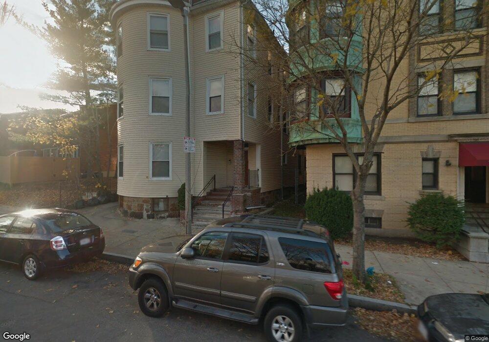
75 Humboldt Ave Unit 5 Roxbury, MA 02119
Washington Park NeighborhoodEstimated Value: $202,000 - $335,000
1
Bed
1
Bath
553
Sq Ft
$527/Sq Ft
Est. Value
About This Home
This home is located at 75 Humboldt Ave Unit 5, Roxbury, MA 02119 and is currently estimated at $291,299, approximately $526 per square foot. 75 Humboldt Ave Unit 5 is a home located in Suffolk County with nearby schools including Bridge Boston Charter School and City on a Hill Charter Public School.
Ownership History
Date
Name
Owned For
Owner Type
Purchase Details
Closed on
Mar 4, 2008
Sold by
Mcdaniels Marc and Woldetense Azeb
Bought by
Yohonnas Almaz A
Current Estimated Value
Home Financials for this Owner
Home Financials are based on the most recent Mortgage that was taken out on this home.
Original Mortgage
$104,000
Outstanding Balance
$64,999
Interest Rate
5.8%
Mortgage Type
Purchase Money Mortgage
Estimated Equity
$226,300
Create a Home Valuation Report for This Property
The Home Valuation Report is an in-depth analysis detailing your home's value as well as a comparison with similar homes in the area
Home Values in the Area
Average Home Value in this Area
Purchase History
| Date | Buyer | Sale Price | Title Company |
|---|---|---|---|
| Yohonnas Almaz A | $130,000 | -- |
Source: Public Records
Mortgage History
| Date | Status | Borrower | Loan Amount |
|---|---|---|---|
| Open | Yohonnas Almaz A | $104,000 |
Source: Public Records
Tax History Compared to Growth
Tax History
| Year | Tax Paid | Tax Assessment Tax Assessment Total Assessment is a certain percentage of the fair market value that is determined by local assessors to be the total taxable value of land and additions on the property. | Land | Improvement |
|---|---|---|---|---|
| 2025 | $3,035 | $262,100 | $0 | $262,100 |
| 2024 | $2,817 | $258,400 | $0 | $258,400 |
| 2023 | $2,668 | $248,400 | $0 | $248,400 |
| 2022 | $2,574 | $236,600 | $0 | $236,600 |
| 2021 | $2,475 | $232,000 | $0 | $232,000 |
| 2020 | $2,013 | $190,600 | $0 | $190,600 |
| 2019 | $1,826 | $173,200 | $0 | $173,200 |
| 2018 | $1,650 | $157,400 | $0 | $157,400 |
| 2017 | $1,558 | $147,100 | $0 | $147,100 |
| 2016 | $1,513 | $137,500 | $0 | $137,500 |
| 2015 | $1,345 | $111,100 | $0 | $111,100 |
| 2014 | $1,318 | $104,800 | $0 | $104,800 |
Source: Public Records
Map
Nearby Homes
- 151 Townsend St
- 90 Munroe St
- 99 Harrishof St
- 16 Mayfair St
- 94 Walnut Ave
- 28 Wabon St
- 4 Wyoming St Unit 2
- 8 Brinton St Unit 2
- 495 Warren St
- 476 Warren St
- 10 Rockland St Unit 4
- 2856 Washington St
- 5 Glenburne St
- 12 Weldon St
- 8 Weldon St
- 7 Waumbeck St Unit 3
- 9 Abbotsford St Unit 1
- 4 Ruthven St
- 75 Ruthven St
- 9-45 Vale St
- 75 Humboldt Ave Unit 6
- 75 Humboldt Ave Unit 4
- 75 Humboldt Ave Unit 3
- 75 Humboldt Ave Unit 2
- 75 Humboldt Ave Unit 1
- 75 Humboldt Ave Unit 75 Humboldt Ave Bost
- 75 Humboldt Ave
- 62 Munroe St
- 66 Munroe St
- 65 Humboldt Ave Unit 3
- 70 Munroe St
- 65 Munroe St
- 72 Munroe St Unit 2
- 67 Munroe St
- 69 Munroe St
- 76 Munroe St
- 75 Humboldt Ct Unit 4
- 75 Humboldt Ct Unit 1
- 71 Munroe St Unit 73
- 53 Humboldt Ave Unit 53A