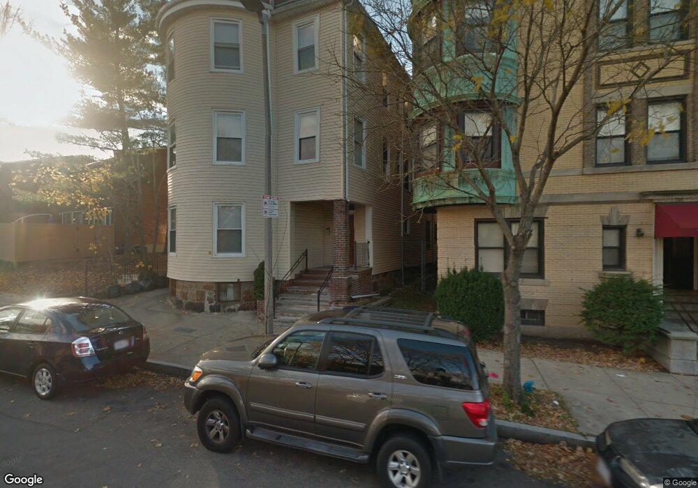
75 Humboldt Ave Unit 6 Roxbury, MA 02119
Washington Park NeighborhoodEstimated Value: $410,000 - $516,000
1
Bed
1
Bath
823
Sq Ft
$569/Sq Ft
Est. Value
About This Home
This home is located at 75 Humboldt Ave Unit 6, Roxbury, MA 02119 and is currently estimated at $468,667, approximately $569 per square foot. 75 Humboldt Ave Unit 6 is a home located in Suffolk County with nearby schools including Bridge Boston Charter School and City on a Hill Charter Public School.
Ownership History
Date
Name
Owned For
Owner Type
Purchase Details
Closed on
Aug 8, 2023
Sold by
Mcdaniels Marc
Bought by
J & A Property Mgmt Llc
Current Estimated Value
Home Financials for this Owner
Home Financials are based on the most recent Mortgage that was taken out on this home.
Original Mortgage
$1,500,000
Outstanding Balance
$1,465,820
Interest Rate
6.81%
Mortgage Type
Stand Alone Refi Refinance Of Original Loan
Estimated Equity
-$997,153
Create a Home Valuation Report for This Property
The Home Valuation Report is an in-depth analysis detailing your home's value as well as a comparison with similar homes in the area
Home Values in the Area
Average Home Value in this Area
Purchase History
| Date | Buyer | Sale Price | Title Company |
|---|---|---|---|
| J & A Property Mgmt Llc | -- | None Available |
Source: Public Records
Mortgage History
| Date | Status | Borrower | Loan Amount |
|---|---|---|---|
| Open | J & A Property Mgmt Llc | $1,500,000 |
Source: Public Records
Tax History Compared to Growth
Tax History
| Year | Tax Paid | Tax Assessment Tax Assessment Total Assessment is a certain percentage of the fair market value that is determined by local assessors to be the total taxable value of land and additions on the property. | Land | Improvement |
|---|---|---|---|---|
| 2025 | $3,445 | $297,500 | $0 | $297,500 |
| 2024 | $2,867 | $263,000 | $0 | $263,000 |
| 2023 | $2,715 | $252,800 | $0 | $252,800 |
| 2022 | $2,620 | $240,800 | $0 | $240,800 |
| 2021 | $2,519 | $236,100 | $0 | $236,100 |
| 2020 | $2,503 | $237,000 | $0 | $237,000 |
| 2019 | $2,271 | $215,500 | $0 | $215,500 |
| 2018 | $2,052 | $195,800 | $0 | $195,800 |
| 2017 | $1,938 | $183,000 | $0 | $183,000 |
| 2016 | $1,881 | $171,000 | $0 | $171,000 |
| 2015 | $1,818 | $150,100 | $0 | $150,100 |
| 2014 | $1,781 | $141,600 | $0 | $141,600 |
Source: Public Records
Map
Nearby Homes
- 151 Townsend St
- 90 Munroe St
- 99 Harrishof St
- 16 Mayfair St
- 94 Walnut Ave
- 28 Wabon St
- 4 Wyoming St Unit 2
- 8 Brinton St Unit 2
- 495 Warren St
- 476 Warren St
- 10 Rockland St Unit 4
- 2856 Washington St
- 5 Glenburne St
- 12 Weldon St
- 8 Weldon St
- 7 Waumbeck St Unit 3
- 9 Abbotsford St Unit 1
- 4 Ruthven St
- 75 Ruthven St
- 9-45 Vale St
- 75 Humboldt Ave Unit 5
- 75 Humboldt Ave Unit 4
- 75 Humboldt Ave Unit 3
- 75 Humboldt Ave Unit 2
- 75 Humboldt Ave Unit 1
- 75 Humboldt Ave Unit 75 Humboldt Ave Bost
- 75 Humboldt Ave
- 62 Munroe St
- 66 Munroe St
- 65 Humboldt Ave Unit 3
- 70 Munroe St
- 65 Munroe St
- 72 Munroe St Unit 2
- 67 Munroe St
- 69 Munroe St
- 76 Munroe St
- 75 Humboldt Ct Unit 4
- 75 Humboldt Ct Unit 1
- 71 Munroe St Unit 73
- 53 Humboldt Ave Unit 53A