75 Lost Ranch Rd Murphysboro, IL 62966
Estimated Value: $65,305 - $242,000
Studio
--
Bath
--
Sq Ft
62,726
Sq Ft Lot
About This Home
This home is located at 75 Lost Ranch Rd, Murphysboro, IL 62966 and is currently estimated at $143,826. 75 Lost Ranch Rd is a home with nearby schools including Murphysboro High School, St. Andrew Catholic School, and Montessori School of S. Illinois.
Ownership History
Date
Name
Owned For
Owner Type
Purchase Details
Closed on
Jan 3, 2014
Sold by
Mccann Adam and Mccann Angela
Bought by
Mccann Adam
Current Estimated Value
Purchase Details
Closed on
Jul 18, 2007
Sold by
Imhoff Nelson R and Imhoff Tina R
Bought by
Mccann Adam and Mccann Angela
Home Financials for this Owner
Home Financials are based on the most recent Mortgage that was taken out on this home.
Original Mortgage
$70,000
Outstanding Balance
$44,343
Interest Rate
6.76%
Mortgage Type
Purchase Money Mortgage
Estimated Equity
$99,483
Purchase Details
Closed on
Mar 31, 2002
Bought by
Mccann Adam
Create a Home Valuation Report for This Property
The Home Valuation Report is an in-depth analysis detailing your home's value as well as a comparison with similar homes in the area
Home Values in the Area
Average Home Value in this Area
Purchase History
| Date | Buyer | Sale Price | Title Company |
|---|---|---|---|
| Mccann Adam | -- | None Available | |
| Mccann Adam | $105,000 | None Available | |
| Mccann Adam | $15,000 | -- |
Source: Public Records
Mortgage History
| Date | Status | Borrower | Loan Amount |
|---|---|---|---|
| Open | Mccann Adam | $70,000 |
Source: Public Records
Tax History
| Year | Tax Paid | Tax Assessment Tax Assessment Total Assessment is a certain percentage of the fair market value that is determined by local assessors to be the total taxable value of land and additions on the property. | Land | Improvement |
|---|---|---|---|---|
| 2024 | $974 | $11,860 | $4,399 | $7,461 |
| 2023 | $907 | $10,523 | $3,903 | $6,620 |
| 2022 | $315 | $3,577 | $3,577 | $0 |
| 2021 | $302 | $3,356 | $3,356 | $0 |
| 2020 | $305 | $3,316 | $3,316 | $0 |
| 2019 | $280 | $3,258 | $3,258 | $0 |
| 2018 | $266 | $3,258 | $3,258 | $0 |
| 2017 | $268 | $3,258 | $3,258 | $0 |
| 2016 | $264 | $3,258 | $3,258 | $0 |
| 2015 | -- | $3,258 | $3,258 | $0 |
| 2014 | -- | $3,258 | $3,258 | $0 |
| 2012 | -- | $3,258 | $3,258 | $0 |
Source: Public Records
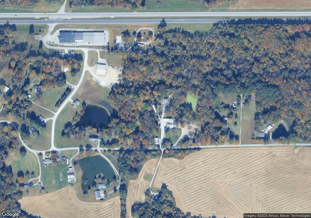
Map
Nearby Homes
- 0000 Illinois 13
- 509 Logan Run Rd
- 491 Wells St
- 403 North St
- 504 Lucier St
- 267 Brian Ave
- 101 S 6th St
- 509 Lucier St
- 525 North St
- 401 Mulberry St
- 103 N 7th St
- 131 Brian Ave
- 000 Chestnut St
- 8994 Old Highway 13
- 203 Fairway Vista Rd
- 0 Country Club Rd Unit MRDEB459247
- 723 N 9th St
- 220 S 14th St
- 1408 Manning St
- 8694 Old Highway 13
Your Personal Tour Guide
Ask me questions while you tour the home.