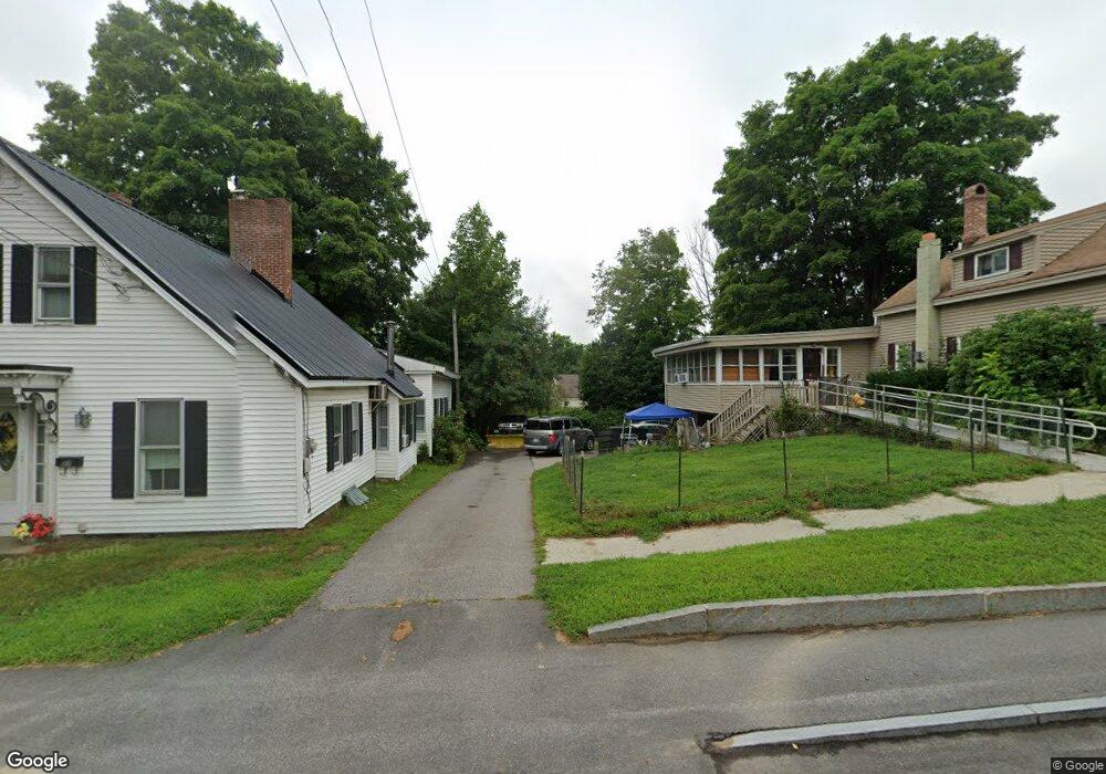
75 Main St Pittsfield, NH 03263
Estimated Value: $359,000 - $404,000
3
Beds
2
Baths
1,656
Sq Ft
$226/Sq Ft
Est. Value
About This Home
This home is located at 75 Main St, Pittsfield, NH 03263 and is currently estimated at $374,444, approximately $226 per square foot. 75 Main St is a home located in Merrimack County with nearby schools including Pittsfield Elementary School and Pittsfield High School.
Ownership History
Date
Name
Owned For
Owner Type
Purchase Details
Closed on
Mar 1, 2011
Sold by
Cheney Robert and Household Finance Corp
Bought by
Household Finance Corp
Current Estimated Value
Purchase Details
Closed on
Jul 2, 2001
Sold by
Eleanor B Watkins Est
Bought by
Cheney Robert and Cheney Wendy
Purchase Details
Closed on
Apr 17, 1998
Sold by
Pollard Lynne
Bought by
Cfx Bank
Create a Home Valuation Report for This Property
The Home Valuation Report is an in-depth analysis detailing your home's value as well as a comparison with similar homes in the area
Home Values in the Area
Average Home Value in this Area
Purchase History
| Date | Buyer | Sale Price | Title Company |
|---|---|---|---|
| Household Finance Corp | $121,400 | -- | |
| Cheney Robert | $144,900 | -- | |
| Cfx Bank | $61,000 | -- |
Source: Public Records
Mortgage History
| Date | Status | Borrower | Loan Amount |
|---|---|---|---|
| Open | Cfx Bank | $190,500 | |
| Closed | Cfx Bank | $87,150 |
Source: Public Records
Tax History
| Year | Tax Paid | Tax Assessment Tax Assessment Total Assessment is a certain percentage of the fair market value that is determined by local assessors to be the total taxable value of land and additions on the property. | Land | Improvement |
|---|---|---|---|---|
| 2025 | $6,560 | $368,100 | $104,600 | $263,500 |
| 2024 | $5,914 | $198,000 | $52,300 | $145,700 |
| 2023 | $4,944 | $198,000 | $52,300 | $145,700 |
| 2022 | $4,708 | $198,000 | $52,300 | $145,700 |
| 2020 | $4,895 | $198,000 | $52,300 | $145,700 |
| 2019 | $4,949 | $150,600 | $25,700 | $124,900 |
| 2018 | $5,023 | $150,600 | $25,700 | $124,900 |
| 2017 | $5,039 | $150,600 | $25,700 | $124,900 |
| 2016 | $4,857 | $150,600 | $25,700 | $124,900 |
| 2015 | $4,560 | $150,600 | $25,700 | $124,900 |
| 2014 | $4,221 | $144,900 | $45,700 | $99,200 |
| 2013 | $4,457 | $144,800 | $45,700 | $99,100 |
Source: Public Records
Map
Nearby Homes
- 9 Park St
- 4 Depot St
- 110 Main St
- 1 Tilton Hill Rd
- 47 Carroll St
- 17 Bridge St
- 22 Concord Hill Rd
- 21 Concord Hill Rd
- 23 Concord Hill Rd
- 43 Watson St
- 79 High St
- 97 Fairview Dr
- 88 Winant Rd
- Map R29 Lot 1 and Lot 1-1 Catamount Rd
- 153 Leavitt Rd
- 33 W Meadow Rd
- 61a Suncook Valley Rd
- 1310 & 1311 Upper City Rd
- 0 Dowboro Rd Unit 11
- L33 Province Rd
Your Personal Tour Guide
Ask me questions while you tour the home.