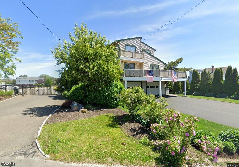
75 Oak Bluff Ave Stratford, CT 06615
Lordship NeighborhoodEstimated Value: $830,000 - $946,000
4
Beds
4
Baths
2,816
Sq Ft
$317/Sq Ft
Est. Value
About This Home
This home is located at 75 Oak Bluff Ave, Stratford, CT 06615 and is currently estimated at $891,793, approximately $316 per square foot. 75 Oak Bluff Ave is a home located in Fairfield County with nearby schools including Lordship School, David Wooster Middle School, and Stratford High School.
Ownership History
Date
Name
Owned For
Owner Type
Purchase Details
Closed on
Aug 21, 2023
Sold by
Carius Michael
Bought by
Michael L Carius T L and Michael Carius
Current Estimated Value
Purchase Details
Closed on
Nov 2, 1995
Sold by
Clauson Henry and Clauson Shirley
Bought by
Carius Michael
Home Financials for this Owner
Home Financials are based on the most recent Mortgage that was taken out on this home.
Original Mortgage
$203,150
Interest Rate
7.58%
Mortgage Type
Purchase Money Mortgage
Create a Home Valuation Report for This Property
The Home Valuation Report is an in-depth analysis detailing your home's value as well as a comparison with similar homes in the area
Home Values in the Area
Average Home Value in this Area
Purchase History
| Date | Buyer | Sale Price | Title Company |
|---|---|---|---|
| Michael L Carius T L | -- | None Available | |
| Carius Michael | $260,000 | -- |
Source: Public Records
Mortgage History
| Date | Status | Borrower | Loan Amount |
|---|---|---|---|
| Previous Owner | Carius Michael | $203,150 |
Source: Public Records
Tax History
| Year | Tax Paid | Tax Assessment Tax Assessment Total Assessment is a certain percentage of the fair market value that is determined by local assessors to be the total taxable value of land and additions on the property. | Land | Improvement |
|---|---|---|---|---|
| 2025 | $12,294 | $305,830 | $128,030 | $177,800 |
| 2024 | $12,294 | $305,830 | $128,030 | $177,800 |
| 2023 | $12,294 | $305,830 | $128,030 | $177,800 |
| 2022 | $12,068 | $305,830 | $128,030 | $177,800 |
| 2021 | $12,071 | $305,830 | $128,030 | $177,800 |
| 2020 | $12,123 | $305,830 | $128,030 | $177,800 |
| 2019 | $15,456 | $387,660 | $213,220 | $174,440 |
| 2018 | $15,468 | $387,660 | $213,220 | $174,440 |
| 2017 | $15,495 | $387,660 | $213,220 | $174,440 |
| 2016 | $15,115 | $387,660 | $213,220 | $174,440 |
| 2015 | $14,336 | $387,660 | $213,220 | $174,440 |
| 2014 | $14,416 | $404,600 | $216,300 | $188,300 |
Source: Public Records
Map
Nearby Homes
- 190 5th Ave
- 200 3rd Ave
- 44 Washington Pkwy
- 559 Oak Bluff Ave
- 516 Valley Rd
- 800 Prospect Dr
- 155 Short Beach Rd Unit 209
- 155 Short Beach Rd Unit 206
- 155 Short Beach Rd Unit 304
- 115 Short Beach Rd Unit 304
- 115 Short Beach Rd Unit 307
- 394 Harding Ave
- 19 Wooster Ave
- 366 Columbus Ave
- 425 Mckinley Ave
- 325 Mckinley Ave
- 15 Harding Ave
- 1260 Elm St
- 62 Roosevelt Ave
- 265 Birdseye St
Your Personal Tour Guide
Ask me questions while you tour the home.