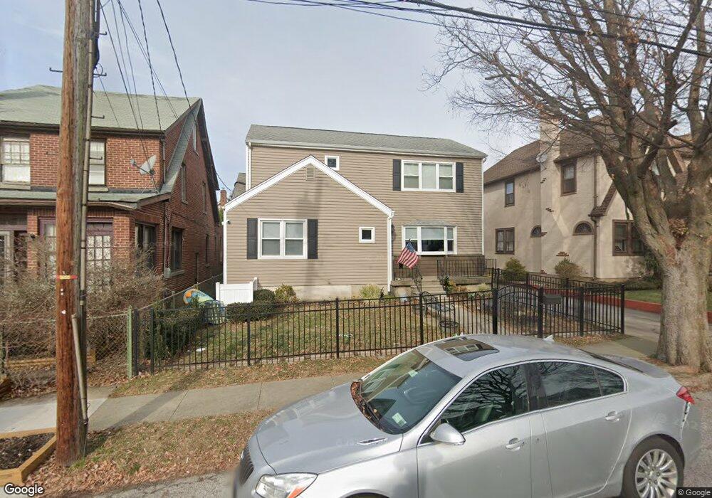
75 Pell Place Bronx, NY 10464
City Island NeighborhoodEstimated Value: $692,623 - $827,000
Studio
--
Bath
1,913
Sq Ft
$394/Sq Ft
Est. Value
About This Home
This home is located at 75 Pell Place, Bronx, NY 10464 and is currently estimated at $753,406, approximately $393 per square foot. 75 Pell Place is a home located in Bronx County with nearby schools including P.S. 175 City Island, Icahn Charter School 3, and Carl C. Icahn Charter School 4.
Ownership History
Date
Name
Owned For
Owner Type
Purchase Details
Closed on
Jul 10, 2012
Sold by
Lachman Christine and Lachman Michael W
Bought by
Lachman Paul C
Current Estimated Value
Home Financials for this Owner
Home Financials are based on the most recent Mortgage that was taken out on this home.
Original Mortgage
$356,000
Outstanding Balance
$246,090
Interest Rate
3.7%
Mortgage Type
New Conventional
Estimated Equity
$507,316
Purchase Details
Closed on
Oct 22, 2002
Sold by
Lachman William F and Lachman Lorraine C
Bought by
Migliairni Lauren and Lachman Michael W
Create a Home Valuation Report for This Property
The Home Valuation Report is an in-depth analysis detailing your home's value as well as a comparison with similar homes in the area
Home Values in the Area
Average Home Value in this Area
Purchase History
| Date | Buyer | Sale Price | Title Company |
|---|---|---|---|
| Lachman Paul C | $337,000 | -- | |
| Migliairni Lauren | -- | -- |
Source: Public Records
Mortgage History
| Date | Status | Borrower | Loan Amount |
|---|---|---|---|
| Open | Lachman Paul C | $356,000 |
Source: Public Records
Tax History
| Year | Tax Paid | Tax Assessment Tax Assessment Total Assessment is a certain percentage of the fair market value that is determined by local assessors to be the total taxable value of land and additions on the property. | Land | Improvement |
|---|---|---|---|---|
| 2025 | $8,490 | $43,740 | $12,743 | $30,997 |
| 2024 | $8,490 | $42,269 | $12,467 | $29,802 |
| 2023 | $8,099 | $39,877 | $10,547 | $29,330 |
| 2022 | $7,510 | $47,160 | $12,600 | $34,560 |
| 2021 | $7,758 | $41,280 | $12,600 | $28,680 |
| 2020 | $7,800 | $38,760 | $12,600 | $26,160 |
| 2019 | $7,369 | $35,400 | $12,600 | $22,800 |
| 2018 | $6,477 | $33,231 | $12,094 | $21,137 |
| 2017 | $6,091 | $31,351 | $12,306 | $19,045 |
| 2016 | $5,831 | $30,720 | $12,600 | $18,120 |
| 2015 | $3,347 | $31,114 | $13,915 | $17,199 |
| 2014 | $3,347 | $29,354 | $12,736 | $16,618 |
Source: Public Records
Map
Nearby Homes
- 91 Winters St
- 148 City Island Ave Unit D28
- 37 Centre St
- 77 Buckley St
- 157 Schofield St
- 32A Caroll St Unit 32A
- 170-190 Schofield St Unit 2
- 190 Schofield St Unit 2E
- 190 Schofield St
- 267 City Island Ave
- 98 Hawkins St
- 18 Windward Ln Unit 17
- 97 Hawkins St
- 104 Fordham St Unit 5
- 8 Deepwater Way Unit 63
- 190 Fordham St Unit 12
- 12 Windward Ln Unit 11
- 72 Island Point
- 25 Bay St
- 11 Island Point