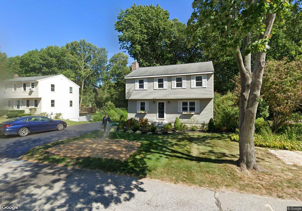
75 Presidential Cir Hampton, NH 03842
Estimated Value: $677,000 - $748,000
3
Beds
3
Baths
1,600
Sq Ft
$455/Sq Ft
Est. Value
About This Home
This home is located at 75 Presidential Cir, Hampton, NH 03842 and is currently estimated at $727,286, approximately $454 per square foot. 75 Presidential Cir is a home located in Rockingham County with nearby schools including Hampton Centre School, Adeline C. Marston Elementary School, and Hampton Academy.
Ownership History
Date
Name
Owned For
Owner Type
Purchase Details
Closed on
Aug 8, 2019
Sold by
Moynihan Francis J and Moynihan Mary A
Bought by
F J & M A Moynihan Ret
Current Estimated Value
Purchase Details
Closed on
Mar 15, 1982
Bought by
Moynihan Francis J and Moynihan Mary Ann
Create a Home Valuation Report for This Property
The Home Valuation Report is an in-depth analysis detailing your home's value as well as a comparison with similar homes in the area
Home Values in the Area
Average Home Value in this Area
Purchase History
| Date | Buyer | Sale Price | Title Company |
|---|---|---|---|
| F J & M A Moynihan Ret | -- | -- | |
| Moynihan Francis J | -- | -- |
Source: Public Records
Tax History
| Year | Tax Paid | Tax Assessment Tax Assessment Total Assessment is a certain percentage of the fair market value that is determined by local assessors to be the total taxable value of land and additions on the property. | Land | Improvement |
|---|---|---|---|---|
| 2025 | $6,475 | $525,600 | $245,800 | $279,800 |
| 2024 | $6,475 | $525,600 | $245,800 | $279,800 |
| 2023 | $5,697 | $340,100 | $163,800 | $176,300 |
| 2022 | $5,387 | $340,100 | $163,800 | $176,300 |
| 2021 | $5,387 | $340,100 | $163,800 | $176,300 |
| 2020 | $6,989 | $339,800 | $163,800 | $176,000 |
| 2019 | $5,440 | $339,800 | $163,800 | $176,000 |
| 2018 | $5,223 | $306,900 | $148,900 | $158,000 |
| 2017 | $5,024 | $306,900 | $148,900 | $158,000 |
| 2016 | $4,935 | $306,900 | $148,900 | $158,000 |
| 2015 | $5,007 | $261,300 | $129,500 | $131,800 |
| 2014 | $4,784 | $261,300 | $129,500 | $131,800 |
Source: Public Records
Map
Nearby Homes
- 2 Hilliard Dr
- 8 Dunvegan Woods
- 28 Dunvegan Woods
- 65 Dunvegan Woods
- 93 Dunvegan Woods
- 29 Thorwald Ave
- 415 High St Unit 3
- 515 Winnacunnet Rd Unit 6
- 68 Kings Hwy Unit 27
- 550 Winnacunnet Rd Unit 219
- 550 Winnacunnet Rd Unit 319
- 11 Redman St
- 7 Redman St
- 467 High St Unit 10
- 611 Ocean Blvd Unit 3
- 10 Mcdermott Rd
- 24 Seabury
- 190 Kings Hwy Unit A1
- 535 Ocean Blvd Unit 403
- 415 Ocean Blvd Unit 3E
- 71 Presidential Cir
- 79 Presidential Cir
- 76 Presidential Cir
- 67 Presidential Cir
- 83 Presidential Cir
- 72 Presidential Cir
- 80 Presidential Cir
- 5 Lawrence Ct
- 5 Laurence Ct
- 68 Presidential Cir
- 84 Presidential Cir
- 65 Presidential Cir
- 3 Lawrence Ct
- 87 Presidential Cir
- 39 Alexander Dr
- 24 Presidential Cir
- 28 Presidential Cir
- 60 Presidential Cir
- 20 Presidential Cir
- 88 Presidential Cir
Your Personal Tour Guide
Ask me questions while you tour the home.