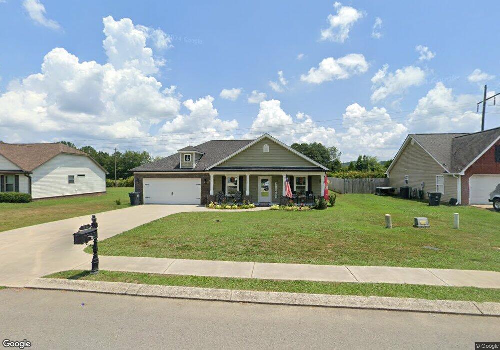
75 Quail Rd Lafayette, GA 30728
Estimated Value: $253,000 - $286,000
3
Beds
2
Baths
1,310
Sq Ft
$208/Sq Ft
Est. Value
About This Home
This home is located at 75 Quail Rd, Lafayette, GA 30728 and is currently estimated at $272,849, approximately $208 per square foot. 75 Quail Rd is a home located in Walker County with nearby schools including North Lafayette Elementary School, Lafayette Middle School, and Lafayette High School.
Ownership History
Date
Name
Owned For
Owner Type
Purchase Details
Closed on
Dec 21, 2020
Sold by
Silvers Construction & Rentals Llc
Bought by
Forrest Dennis M and Forrest Annie Gail
Current Estimated Value
Home Financials for this Owner
Home Financials are based on the most recent Mortgage that was taken out on this home.
Original Mortgage
$172,900
Outstanding Balance
$153,933
Interest Rate
2.7%
Mortgage Type
VA
Estimated Equity
$118,916
Purchase Details
Closed on
Dec 31, 2013
Sold by
Farmer James M
Bought by
Best Land Investments Llc
Purchase Details
Closed on
Jan 16, 2008
Sold by
Not Provided
Bought by
Farmer James M
Purchase Details
Closed on
Sep 26, 2003
Bought by
Walker Land Investments Llc
Create a Home Valuation Report for This Property
The Home Valuation Report is an in-depth analysis detailing your home's value as well as a comparison with similar homes in the area
Home Values in the Area
Average Home Value in this Area
Purchase History
| Date | Buyer | Sale Price | Title Company |
|---|---|---|---|
| Forrest Dennis M | $172,900 | -- | |
| Best Land Investments Llc | $65,000 | -- | |
| Farmer James M | -- | -- | |
| Best Land Investments Llc | $125,000 | -- | |
| Walker Land Investments Llc | $222,900 | -- |
Source: Public Records
Mortgage History
| Date | Status | Borrower | Loan Amount |
|---|---|---|---|
| Open | Forrest Dennis M | $172,900 |
Source: Public Records
Tax History Compared to Growth
Tax History
| Year | Tax Paid | Tax Assessment Tax Assessment Total Assessment is a certain percentage of the fair market value that is determined by local assessors to be the total taxable value of land and additions on the property. | Land | Improvement |
|---|---|---|---|---|
| 2024 | -- | $103,346 | $6,000 | $97,346 |
| 2023 | $2,435 | $98,216 | $6,000 | $92,216 |
| 2022 | $2,435 | $85,258 | $6,000 | $79,258 |
| 2021 | $1,936 | $60,150 | $6,000 | $54,150 |
| 2020 | $1,451 | $47,303 | $6,000 | $41,303 |
| 2019 | $1,452 | $47,303 | $6,000 | $41,303 |
| 2018 | $1,407 | $47,303 | $6,000 | $41,303 |
| 2017 | $1,351 | $45,402 | $6,000 | $39,402 |
| 2016 | $1,304 | $47,303 | $6,000 | $41,303 |
| 2015 | $69 | $6,000 | $6,000 | $0 |
| 2014 | $167 | $6,000 | $6,000 | $0 |
| 2013 | -- | $6,000 | $6,000 | $0 |
Source: Public Records
Map
Nearby Homes
- 114 Mallard Ln
- 214 East Ave
- 105 Stanfield Rd
- 1001 N Main St
- 806 N Main St
- 1490 N Main St
- 1403 N Main St
- 1520 N Main St
- 393 Wisteria Rd
- 7552 Us Highway 27
- 15.56 ACRES Round Pond Rd
- 1129 Probasco St N
- 1112 Probasco St N
- 0 Center St Unit 15 11492953
- 0 Center St Unit 16 11493665
- 0 Center St Unit 1517720
- 4941 Round Pond Rd
- 307 Park St
- 1314 Fernwood Dr
- 71 McCarter Rd