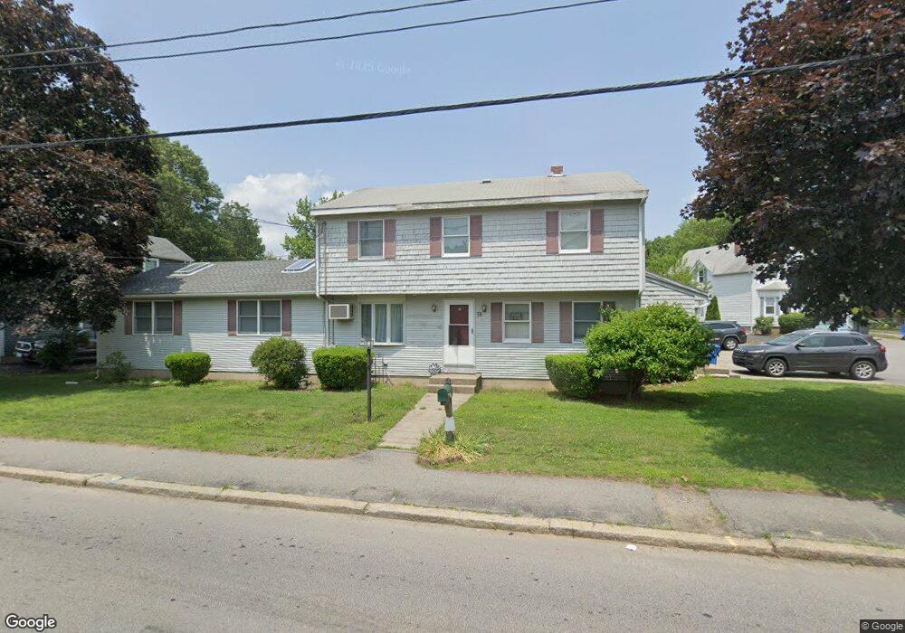
75 Randall St Cranston, RI 02920
Knightsville NeighborhoodEstimated Value: $346,000 - $639,000
2
Beds
1
Bath
800
Sq Ft
$667/Sq Ft
Est. Value
About This Home
This home is located at 75 Randall St, Cranston, RI 02920 and is currently estimated at $533,930, approximately $667 per square foot. 75 Randall St is a home located in Providence County with nearby schools including George J. Peters School, Western Hills Middle School, and Cranston High School West.
Ownership History
Date
Name
Owned For
Owner Type
Purchase Details
Closed on
Feb 25, 2011
Sold by
Fannie Mae
Bought by
Schiapo David A and Schiapo Jacqueline M
Current Estimated Value
Home Financials for this Owner
Home Financials are based on the most recent Mortgage that was taken out on this home.
Original Mortgage
$180,212
Outstanding Balance
$123,139
Interest Rate
4.75%
Mortgage Type
Purchase Money Mortgage
Estimated Equity
$410,791
Purchase Details
Closed on
May 8, 2001
Sold by
Morrocco Thomas D and Morrocco Gale
Bought by
Morrocco Thomas D and Morrocco Karen
Create a Home Valuation Report for This Property
The Home Valuation Report is an in-depth analysis detailing your home's value as well as a comparison with similar homes in the area
Home Values in the Area
Average Home Value in this Area
Purchase History
| Date | Buyer | Sale Price | Title Company |
|---|---|---|---|
| Schiapo David A | $184,500 | -- | |
| Morrocco Thomas D | $153,000 | -- |
Source: Public Records
Mortgage History
| Date | Status | Borrower | Loan Amount |
|---|---|---|---|
| Open | Morrocco Thomas D | $180,212 | |
| Previous Owner | Morrocco Thomas D | $30,000 | |
| Previous Owner | Morrocco Thomas D | $245,000 |
Source: Public Records
Tax History Compared to Growth
Tax History
| Year | Tax Paid | Tax Assessment Tax Assessment Total Assessment is a certain percentage of the fair market value that is determined by local assessors to be the total taxable value of land and additions on the property. | Land | Improvement |
|---|---|---|---|---|
| 2025 | $6,325 | $455,700 | $117,000 | $338,700 |
| 2024 | $6,202 | $455,700 | $117,000 | $338,700 |
| 2023 | $5,933 | $313,900 | $77,000 | $236,900 |
| 2022 | $5,810 | $313,900 | $77,000 | $236,900 |
| 2021 | $5,650 | $313,900 | $77,000 | $236,900 |
| 2020 | $5,733 | $276,000 | $73,400 | $202,600 |
| 2019 | $5,733 | $276,000 | $73,400 | $202,600 |
| 2018 | $5,600 | $276,000 | $73,400 | $202,600 |
| 2017 | $5,164 | $225,100 | $66,000 | $159,100 |
| 2016 | $5,053 | $225,100 | $66,000 | $159,100 |
| 2015 | $5,053 | $225,100 | $66,000 | $159,100 |
| 2014 | $4,703 | $205,900 | $66,000 | $139,900 |
Source: Public Records
Map
Nearby Homes
- 54 Randall St
- 86 Sherwood St
- 80 Phenix Ave
- 1455 Park Ave Unit 3
- 14 New Hampshire St
- 34 Aldrich Ave
- 1574 Cranston St
- 00 Burton St
- 92 Rhode Island St
- 70 Florida Ave
- 9 Southern St
- 93 Elena St
- 210 Hyde St
- 99 Salem Ave
- 71 Norton Ave
- 111 Belgium St
- 44 Valente Dr
- 83 Valente Dr
- 56 Scituate Ave
- 69 W View Ave
- 81 Randall St
- 53 Randall St
- 85 Randall St
- 74 Randall St
- 65 Randall St
- 80 Randall St
- 90 Sherwood St
- 89 Randall St
- 86 Randall St
- 68 Randall St
- 72 Greene Ave
- 59 Randall St Unit 59
- 59 Randall St
- 85 Sherwood St
- 75 Knight St
- 95 Randall St
- 57 Randall St Unit 3
- 57 Randall St Unit 2
- 57 Randall St Unit 1
- 57 Randall St Unit 57