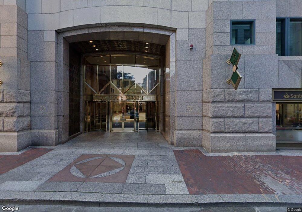
75 State St Boston, MA 02109
Downtown Boston Neighborhood
--
Bed
1
Bath
861,823
Sq Ft
1.43
Acres
About This Home
This home is located at 75 State St, Boston, MA 02109. 75 State St is a home located in Suffolk County with nearby schools including St John School, Torit Montessori School, and Advent School.
Ownership History
Date
Name
Owned For
Owner Type
Purchase Details
Closed on
Sep 19, 2019
Sold by
Brookfield Props 75 State
Bought by
75 State Owner Llc
Purchase Details
Closed on
Sep 22, 2008
Sold by
Brookfield Prop 75 Sta
Bought by
Brookfield Prop 75 Sta
Purchase Details
Closed on
Sep 18, 1998
Sold by
State Street Lp 74
Bought by
Wfp 75 State Street Co
Home Financials for this Owner
Home Financials are based on the most recent Mortgage that was taken out on this home.
Original Mortgage
$185,000,000
Interest Rate
6.9%
Mortgage Type
Commercial
Create a Home Valuation Report for This Property
The Home Valuation Report is an in-depth analysis detailing your home's value as well as a comparison with similar homes in the area
Home Values in the Area
Average Home Value in this Area
Purchase History
| Date | Buyer | Sale Price | Title Company |
|---|---|---|---|
| 75 State Owner Llc | $635,000,000 | -- | |
| Brookfield Prop 75 Sta | -- | -- | |
| Wfp 75 State Street Co | $313,105,280 | -- |
Source: Public Records
Mortgage History
| Date | Status | Borrower | Loan Amount |
|---|---|---|---|
| Previous Owner | Wfp 75 State Street Co | $185,000,000 |
Source: Public Records
Tax History Compared to Growth
Tax History
| Year | Tax Paid | Tax Assessment Tax Assessment Total Assessment is a certain percentage of the fair market value that is determined by local assessors to be the total taxable value of land and additions on the property. | Land | Improvement |
|---|---|---|---|---|
| 2025 | $10,832,944 | $0 | $0 | $0 |
| 2024 | $11,446,746 | $0 | $0 | $0 |
| 2023 | $9,999,999 | $463,489,700 | $106,556,100 | $356,933,600 |
| 2022 | $11,209,006 | $448,719,200 | $106,556,100 | $342,163,100 |
| 2021 | $11,131,699 | $453,429,700 | $100,331,000 | $353,098,700 |
| 2020 | $11,012,689 | $441,921,700 | $100,331,000 | $341,590,700 |
| 2019 | $10,491,550 | $419,662,000 | $100,324,300 | $319,337,700 |
| 2018 | $10,407,298 | $412,988,000 | $98,361,700 | $314,626,300 |
| 2017 | $9,783,864 | $385,647,000 | $93,651,200 | $291,995,800 |
| 2016 | $9,384,881 | $350,051,500 | $86,697,100 | $263,354,400 |
| 2015 | $8,477,642 | $287,183,000 | $77,388,000 | $209,795,000 |
| 2014 | $8,483,065 | $272,067,500 | $67,294,100 | $204,773,400 |
Source: Public Records
Map
Nearby Homes
- 80 Broad St Unit 302
- 80 Broad St Unit 1204
- 80 Broad St Unit 306
- 80 Broad St Unit 303
- 80 Broad St Unit 1002
- 80 Broad St Unit 805
- 80 Broad St Unit 603
- 80 Broad Street Parking Space 57
- 99-105 Broad St Unit 4F
- 101 Broad St Unit 8B
- 101 Broad St Unit 8C
- 110 Broad St Unit 602
- 110-112 Commercial St Unit 2
- 110-112 Commercial St Unit 5
- 142 Commercial St Unit 503
- 65 E India Row Unit PHC
- 65 E India Row Unit Penthouse B
- 65 E India Row Unit 10G
- 65 E India Row Unit 22C
- 65 E India Row Unit PHF
- 15 Broad St
- 109 State St
- 5-9 Broad St
- 9 Broad St
- 21 Broad St Unit 1
- 120 Water St Unit 4th Fl
- 100 State St Unit 6
- 100 State St Unit 3
- 100 State St Unit A
- 100 State St Unit 8-3
- 100 State St Unit 8-2
- 100 State St Unit 8
- 100 State St Unit 701
- 100 State St Unit FL 8
- 100 State St Unit 8th Fl S
- 100 State St Unit 8th FL
- 100 State St
- 100 State St Unit 5
- 92 State St
- 102 Water St