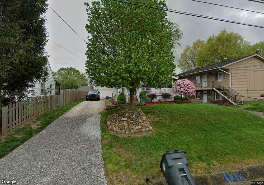
75 Stephens Rd Akron, OH 44312
Ellet NeighborhoodEstimated Value: $135,239 - $156,000
2
Beds
1
Bath
1,144
Sq Ft
$126/Sq Ft
Est. Value
About This Home
This home is located at 75 Stephens Rd, Akron, OH 44312 and is currently estimated at $144,560, approximately $126 per square foot. 75 Stephens Rd is a home located in Summit County with nearby schools including Ellet High School, Akron Preparatory school, and Summit Academy Akron Elementary School.
Ownership History
Date
Name
Owned For
Owner Type
Purchase Details
Closed on
Sep 17, 2001
Sold by
Berger Richard T
Bought by
Farmer Jeremy R and Farmer Brook J
Current Estimated Value
Home Financials for this Owner
Home Financials are based on the most recent Mortgage that was taken out on this home.
Original Mortgage
$78,764
Interest Rate
7.06%
Mortgage Type
FHA
Create a Home Valuation Report for This Property
The Home Valuation Report is an in-depth analysis detailing your home's value as well as a comparison with similar homes in the area
Home Values in the Area
Average Home Value in this Area
Purchase History
| Date | Buyer | Sale Price | Title Company |
|---|---|---|---|
| Farmer Jeremy R | $80,000 | Bond & Associates Title Agen |
Source: Public Records
Mortgage History
| Date | Status | Borrower | Loan Amount |
|---|---|---|---|
| Closed | Farmer Jeremy R | $78,764 |
Source: Public Records
Tax History
| Year | Tax Paid | Tax Assessment Tax Assessment Total Assessment is a certain percentage of the fair market value that is determined by local assessors to be the total taxable value of land and additions on the property. | Land | Improvement |
|---|---|---|---|---|
| 2024 | $2,106 | $39,571 | $8,379 | $31,192 |
| 2023 | $2,106 | $39,571 | $8,379 | $31,192 |
| 2022 | $2,082 | $30,741 | $6,300 | $24,441 |
| 2021 | $2,084 | $30,741 | $6,300 | $24,441 |
| 2020 | $2,052 | $30,740 | $6,300 | $24,440 |
| 2019 | $2,031 | $27,620 | $5,990 | $21,630 |
| 2018 | $2,004 | $27,620 | $5,990 | $21,630 |
| 2017 | $1,847 | $27,620 | $5,990 | $21,630 |
| 2016 | $1,849 | $24,950 | $5,990 | $18,960 |
| 2015 | $1,847 | $24,950 | $5,990 | $18,960 |
| 2014 | $1,832 | $24,950 | $5,990 | $18,960 |
| 2013 | $1,787 | $24,830 | $5,990 | $18,840 |
Source: Public Records
Map
Nearby Homes
- 111 Akers Ave
- 20 Verdun Dr
- 274 Fulmer Ave
- 1874 Adelaide Blvd
- 110 Eastholm Ave
- 1837 Marks Ave
- 2258 Mogadore Rd
- 2269 Emerald Dr
- 1726 Shaw Ave
- 248 Malacca St
- 1604 Hampton Rd
- 187 Highpoint Ave
- 472 Stephens Rd
- 487 Hilbish Ave
- 1991-1993 Congo St
- 295 Goodview Ave
- 1863 Harding Ave
- 2382 Mogadore Rd
- 1551 Preston Ave
- 153 Cutler Pkwy
Your Personal Tour Guide
Ask me questions while you tour the home.