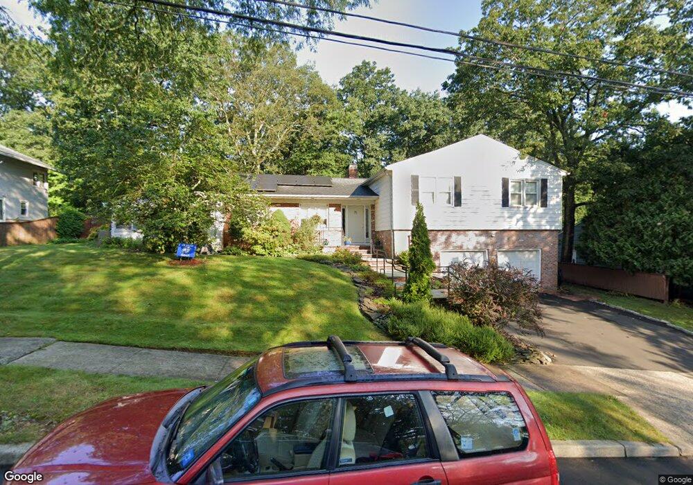
75 Stevenson Rd New Haven, CT 06515
Westville NeighborhoodEstimated Value: $523,000 - $606,000
3
Beds
4
Baths
2,114
Sq Ft
$267/Sq Ft
Est. Value
About This Home
This home is located at 75 Stevenson Rd, New Haven, CT 06515 and is currently estimated at $565,157, approximately $267 per square foot. 75 Stevenson Rd is a home located in New Haven County with nearby schools including Davis Academy for Arts & Design Innovation, Elm City Montessori School, and Hopkins School.
Ownership History
Date
Name
Owned For
Owner Type
Purchase Details
Closed on
Jun 14, 2006
Sold by
Comer Barbara and Greak Elizabeth
Bought by
Schulman Glenn and Schulman Betsy
Current Estimated Value
Home Financials for this Owner
Home Financials are based on the most recent Mortgage that was taken out on this home.
Original Mortgage
$304,000
Interest Rate
6.37%
Mortgage Type
Adjustable Rate Mortgage/ARM
Purchase Details
Closed on
Aug 11, 1995
Sold by
Source One Mtg Svc
Bought by
Comer Barbara A and Greak Elizabeth L
Home Financials for this Owner
Home Financials are based on the most recent Mortgage that was taken out on this home.
Original Mortgage
$98,000
Interest Rate
7.48%
Mortgage Type
Unknown
Create a Home Valuation Report for This Property
The Home Valuation Report is an in-depth analysis detailing your home's value as well as a comparison with similar homes in the area
Home Values in the Area
Average Home Value in this Area
Purchase History
| Date | Buyer | Sale Price | Title Company |
|---|---|---|---|
| Schulman Glenn | $380,000 | -- | |
| Comer Barbara A | $138,000 | -- |
Source: Public Records
Mortgage History
| Date | Status | Borrower | Loan Amount |
|---|---|---|---|
| Open | Comer Barbara A | $285,000 | |
| Closed | Comer Barbara A | $304,000 | |
| Closed | Comer Barbara A | $57,000 | |
| Previous Owner | Comer Barbara A | $98,000 |
Source: Public Records
Tax History
| Year | Tax Paid | Tax Assessment Tax Assessment Total Assessment is a certain percentage of the fair market value that is determined by local assessors to be the total taxable value of land and additions on the property. | Land | Improvement |
|---|---|---|---|---|
| 2025 | $10,676 | $270,970 | $64,470 | $206,500 |
| 2024 | $10,432 | $270,970 | $64,470 | $206,500 |
| 2023 | $10,080 | $270,970 | $64,470 | $206,500 |
| 2022 | $10,771 | $270,970 | $64,470 | $206,500 |
| 2021 | $8,690 | $198,030 | $41,930 | $156,100 |
| 2020 | $8,690 | $198,030 | $41,930 | $156,100 |
| 2019 | $8,511 | $198,030 | $41,930 | $156,100 |
| 2018 | $8,511 | $198,030 | $41,930 | $156,100 |
| 2017 | $7,660 | $198,030 | $41,930 | $156,100 |
| 2016 | $8,563 | $206,080 | $43,540 | $162,540 |
| 2015 | $8,563 | $206,080 | $43,540 | $162,540 |
| 2014 | $8,563 | $206,080 | $43,540 | $162,540 |
Source: Public Records
Map
Nearby Homes
- 224 Ray Rd
- 125 Lowin Ave
- 2095 Chapel St
- 21 Richmond Ave
- 51 Fountain Terrace
- 56 Roger Rd
- 690 Forest Rd Unit 702
- 690 Forest Rd Unit 703
- 690 Forest Rd Unit 761
- 690 Forest Rd Unit 501
- 690 Forest Rd Unit 651
- 252 Alden Ave
- 55 Marvel Rd
- 119 Westwood Rd
- 159 Lawncrest Rd
- 420 Central Ave
- 107 Glen View Terrace
- 143 Fountain St Unit A11
- 1016 Whalley Ave Unit 6
- 595 Central Ave
- 85 Stevenson Rd
- 65 Stevenson Rd
- 146 Conrad Dr
- 156 Conrad Dr
- 136 Conrad Dr
- 80 Stevenson Rd
- 68 Stevenson Rd
- 95 Stevenson Rd
- 90 Stevenson Rd
- 57 Stevenson Rd
- 58 Stevenson Rd
- 126 Conrad Dr
- 170 Conrad Dr
- 41 Whittier Rd
- 31 Whittier Rd
- 100 Stevenson Rd
- 51 Whittier Rd
- 47 Stevenson Rd
- 116 Conrad Dr
- 109 Stevenson Rd
Your Personal Tour Guide
Ask me questions while you tour the home.