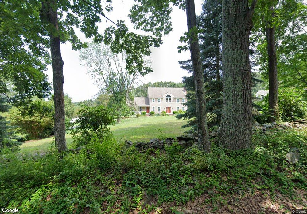
75 Summer St Wrentham, MA 02093
West Wrentham NeighborhoodEstimated Value: $834,900 - $1,091,000
3
Beds
4
Baths
2,746
Sq Ft
$358/Sq Ft
Est. Value
About This Home
This home is located at 75 Summer St, Wrentham, MA 02093 and is currently estimated at $983,225, approximately $358 per square foot. 75 Summer St is a home located in Norfolk County with nearby schools including Delaney Elementary School, Charles E Roderick, and Mercymount Country Day School.
Ownership History
Date
Name
Owned For
Owner Type
Purchase Details
Closed on
Oct 9, 2014
Sold by
Dowall Richard L and Dowall Lynn E
Bought by
Dowall Ret and Dowall Richard L
Current Estimated Value
Purchase Details
Closed on
May 4, 2005
Sold by
Sullivan Anne M and Sullivan John D
Bought by
Dowall Lynn E and Dowall Richard L
Create a Home Valuation Report for This Property
The Home Valuation Report is an in-depth analysis detailing your home's value as well as a comparison with similar homes in the area
Home Values in the Area
Average Home Value in this Area
Purchase History
| Date | Buyer | Sale Price | Title Company |
|---|---|---|---|
| Dowall Ret | -- | -- | |
| Dowall Lynn E | $657,500 | -- |
Source: Public Records
Tax History
| Year | Tax Paid | Tax Assessment Tax Assessment Total Assessment is a certain percentage of the fair market value that is determined by local assessors to be the total taxable value of land and additions on the property. | Land | Improvement |
|---|---|---|---|---|
| 2025 | $9,275 | $800,300 | $288,300 | $512,000 |
| 2024 | $8,833 | $736,100 | $288,300 | $447,800 |
| 2023 | $8,844 | $700,800 | $262,200 | $438,600 |
| 2022 | $8,560 | $626,200 | $255,400 | $370,800 |
| 2021 | $8,166 | $580,400 | $238,700 | $341,700 |
| 2020 | $7,823 | $549,000 | $182,300 | $366,700 |
| 2019 | $7,520 | $532,600 | $182,300 | $350,300 |
| 2018 | $7,487 | $525,800 | $182,100 | $343,700 |
| 2017 | $7,283 | $511,100 | $178,600 | $332,500 |
| 2016 | $7,187 | $503,300 | $173,400 | $329,900 |
| 2015 | $7,151 | $477,400 | $166,700 | $310,700 |
| 2014 | $7,223 | $471,800 | $160,400 | $311,400 |
Source: Public Records
Map
Nearby Homes
- 10 Follett Dr
- 60 Grant Ave
- 1620 West St
- 25 Nature View Dr
- 172 Pine Swamp Rd
- 180 Pine Swamp Rd
- 56 Pine Swamp Rd
- 365 W Wrentham Rd
- 20 Nature View Dr
- 9 Reagan Ave
- 900 Washington St Lot 2
- 9 Pebble Cir Unit 9
- 47 Austin Dr
- 925 Washington St
- 23 Palmetto Dr Unit 23
- 21 Palmetto Dr Unit 21
- 24 Palmetto Dr Unit 24
- 9 Brookfield Ln
- 4 Carnation St
- 255 Knollwood Dr
Your Personal Tour Guide
Ask me questions while you tour the home.