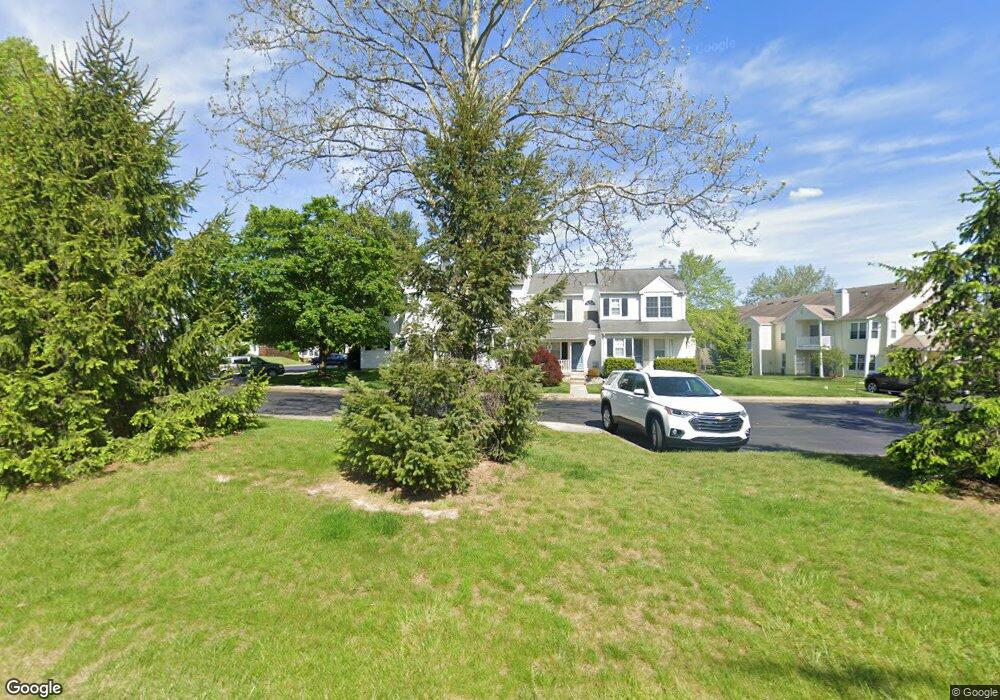
75 Taylors Way Southampton, PA 18966
Estimated Value: $369,258 - $408,000
3
Beds
2
Baths
1,300
Sq Ft
$297/Sq Ft
Est. Value
About This Home
This home is located at 75 Taylors Way, Southampton, PA 18966 and is currently estimated at $386,315, approximately $297 per square foot. 75 Taylors Way is a home located in Bucks County with nearby schools including Rolling Hills Elementary School, Richboro Middle School, and Council Rock High School - South.
Ownership History
Date
Name
Owned For
Owner Type
Purchase Details
Closed on
Jul 26, 2017
Sold by
Sagot Neil and Sagot Maureen E
Bought by
Thomas Ryan and Thomas Stephaine Mcginty
Current Estimated Value
Home Financials for this Owner
Home Financials are based on the most recent Mortgage that was taken out on this home.
Original Mortgage
$230,850
Outstanding Balance
$192,989
Interest Rate
4.03%
Mortgage Type
Stand Alone First
Estimated Equity
$193,326
Purchase Details
Closed on
Jul 29, 1994
Sold by
Kirlin Patrick J and Kirlin Geralyn A
Bought by
Sagot Neil and Sagot Maureen E
Home Financials for this Owner
Home Financials are based on the most recent Mortgage that was taken out on this home.
Original Mortgage
$94,400
Interest Rate
8.52%
Purchase Details
Closed on
Dec 26, 1986
Bought by
Kirlin Patrick J
Create a Home Valuation Report for This Property
The Home Valuation Report is an in-depth analysis detailing your home's value as well as a comparison with similar homes in the area
Home Values in the Area
Average Home Value in this Area
Purchase History
| Date | Buyer | Sale Price | Title Company |
|---|---|---|---|
| Thomas Ryan | $243,000 | Intitle Insurance Co | |
| Sagot Neil | $118,000 | -- | |
| Kirlin Patrick J | $93,800 | -- |
Source: Public Records
Mortgage History
| Date | Status | Borrower | Loan Amount |
|---|---|---|---|
| Open | Thomas Ryan | $230,850 | |
| Previous Owner | Sagot Neil | $94,400 |
Source: Public Records
Tax History Compared to Growth
Tax History
| Year | Tax Paid | Tax Assessment Tax Assessment Total Assessment is a certain percentage of the fair market value that is determined by local assessors to be the total taxable value of land and additions on the property. | Land | Improvement |
|---|---|---|---|---|
| 2025 | $4,415 | $22,920 | $3,000 | $19,920 |
| 2024 | $4,415 | $22,920 | $3,000 | $19,920 |
| 2023 | $4,161 | $22,920 | $3,000 | $19,920 |
| 2022 | $4,123 | $22,920 | $3,000 | $19,920 |
| 2021 | $3,992 | $22,920 | $3,000 | $19,920 |
| 2020 | $3,902 | $22,920 | $3,000 | $19,920 |
| 2019 | $3,735 | $22,920 | $3,000 | $19,920 |
| 2018 | $3,669 | $22,920 | $3,000 | $19,920 |
| 2017 | $3,527 | $22,920 | $3,000 | $19,920 |
| 2016 | $3,527 | $22,920 | $3,000 | $19,920 |
| 2015 | -- | $22,920 | $3,000 | $19,920 |
| 2014 | -- | $22,920 | $3,000 | $19,920 |
Source: Public Records
Map
Nearby Homes
- 501 Potters Ct
- 180 Independence Dr
- 21 Joanne Rd
- 66 Nathaniel Rd
- 10014 Beacon Hill Dr Unit 7
- 281 E Village Rd
- 102 Keenan Ln
- 29 Tree Bark Ln
- 501 Heritage Place Unit 1
- 21 Tree Bark Ln
- 15 Dover Place
- 9015 Heritage Dr Unit 8
- 23 Brianna Rd
- 3231 Durham Place
- 48 Old Mill Ln
- 258 Woodlake Dr
- 28 Peter Dr
- 163 Leedom Way Unit 25
- 104 Cornell Rd
- 210 E Hanover St
- 73 Taylors Way
- 77 Taylors Way
- 79 Taylors Way
- 69 Taylors Way
- 67 Taylors Way
- 65 Taylors Way
- 19017 Bennett Place Unit 8
- 19021 Bennett Place
- 19023 Bennett Place Unit 9
- 19019 Bennett Place Unit 7
- 1901 Bennett Place
- 63 Taylors Way
- 1909 Bennett Place Unit 3
- 1903 Bennett Place
- 19015 Bennett Place Unit 6
- 19013 Bennett Place Unit 5
- 19011 Bennett Place Unit 4
- 37 Van Horn Place
- 1907 Bennett Place
- 61 Taylors Way