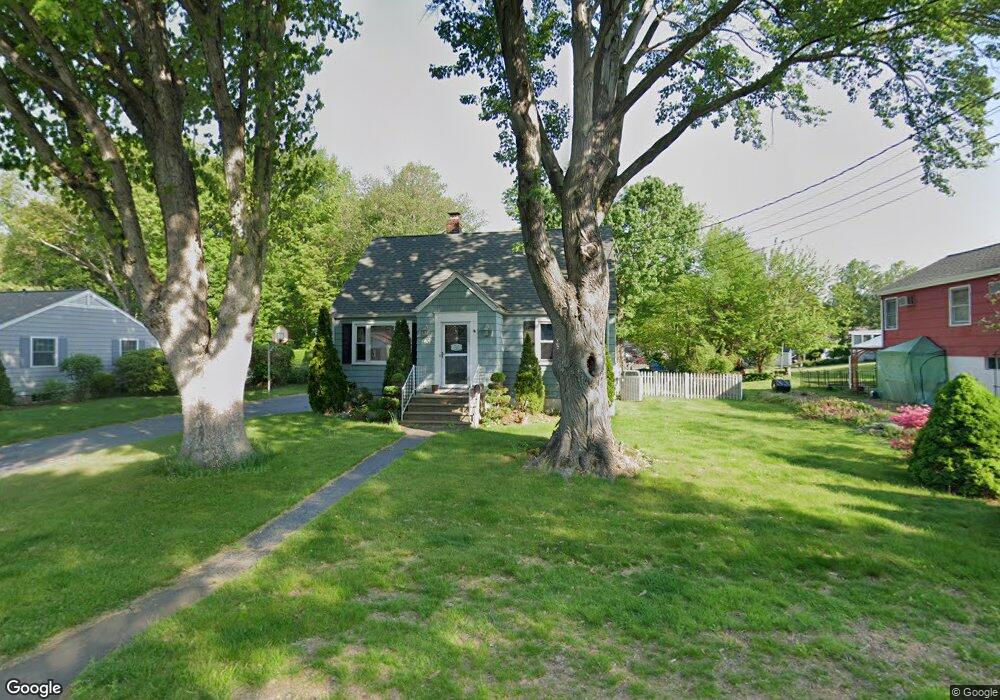
75 Woodridge Cir Trumbull, CT 06611
West Trumbull NeighborhoodEstimated Value: $532,000 - $642,000
3
Beds
3
Baths
1,455
Sq Ft
$412/Sq Ft
Est. Value
About This Home
This home is located at 75 Woodridge Cir, Trumbull, CT 06611 and is currently estimated at $599,833, approximately $412 per square foot. 75 Woodridge Cir is a home located in Fairfield County with nearby schools including Frenchtown Elementary School, Madison Middle School, and Trumbull High School.
Ownership History
Date
Name
Owned For
Owner Type
Purchase Details
Closed on
Feb 16, 2022
Sold by
Burgos Luis
Bought by
Burgos Michelle
Current Estimated Value
Purchase Details
Closed on
Dec 3, 2007
Sold by
Novia Xinia and Novia Adrian
Bought by
Burgos Louis and Burgos Michelle
Home Financials for this Owner
Home Financials are based on the most recent Mortgage that was taken out on this home.
Original Mortgage
$297,000
Interest Rate
6.12%
Purchase Details
Closed on
Sep 9, 2003
Sold by
Luzietti Ricardo and Luzielli Marilyn
Bought by
Bannerman Xinia
Home Financials for this Owner
Home Financials are based on the most recent Mortgage that was taken out on this home.
Original Mortgage
$290,000
Interest Rate
6.02%
Create a Home Valuation Report for This Property
The Home Valuation Report is an in-depth analysis detailing your home's value as well as a comparison with similar homes in the area
Home Values in the Area
Average Home Value in this Area
Purchase History
| Date | Buyer | Sale Price | Title Company |
|---|---|---|---|
| Burgos Michelle | -- | None Available | |
| Burgos Louis | $400,000 | -- | |
| Bannerman Xinia | $389,900 | -- |
Source: Public Records
Mortgage History
| Date | Status | Borrower | Loan Amount |
|---|---|---|---|
| Previous Owner | Bannerman Xinia | $297,000 | |
| Previous Owner | Bannerman Xinia | $290,000 | |
| Previous Owner | Bannerman Xinia | $209,000 | |
| Previous Owner | Bannerman Xinia | $156,000 |
Source: Public Records
Tax History Compared to Growth
Tax History
| Year | Tax Paid | Tax Assessment Tax Assessment Total Assessment is a certain percentage of the fair market value that is determined by local assessors to be the total taxable value of land and additions on the property. | Land | Improvement |
|---|---|---|---|---|
| 2025 | $9,388 | $255,500 | $143,220 | $112,280 |
| 2024 | $9,123 | $255,500 | $143,220 | $112,280 |
| 2023 | $8,978 | $255,500 | $143,220 | $112,280 |
| 2022 | $8,833 | $255,500 | $143,220 | $112,280 |
| 2021 | $7,751 | $213,150 | $119,350 | $93,800 |
| 2020 | $7,602 | $213,150 | $119,350 | $93,800 |
| 2018 | $7,432 | $213,150 | $119,350 | $93,800 |
| 2017 | $7,294 | $213,150 | $119,350 | $93,800 |
| 2016 | $7,106 | $213,150 | $119,350 | $93,800 |
| 2015 | $7,176 | $214,400 | $119,400 | $95,000 |
| 2014 | $7,024 | $214,400 | $119,400 | $95,000 |
Source: Public Records
Map
Nearby Homes
- 26 Grove St
- 60 Lillian Dr
- 8 Moorland Rd
- 87 Parkway Dr
- Lot 31 Valley View Rd
- 11 Linda Dr
- 4293 Madison Ave
- 1675 Old Town Rd
- 33 Enclave Dr Unit 33
- 38 Smith Place
- 58 Daniels Farm Rd
- 715 Frenchtown Rd Unit 31
- 253 Mayfield Dr Unit 253
- 283 Mayfield Dr
- 90 Sequoia Rd
- 122 Paugusett Cir
- 7 Manor Dr
- 11 Laurel St
- 121 Paugusett Cir
- 10 Aragon Dr