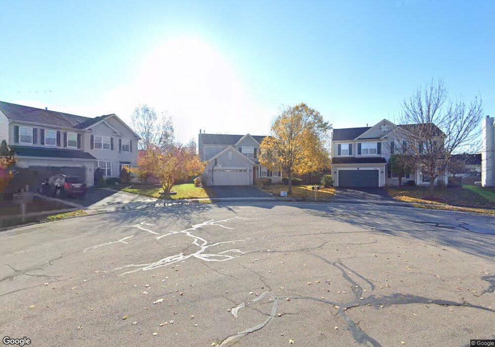
750 Glenside Cir Bolingbrook, IL 60490
Sunset Park-Old Plank NeighborhoodEstimated Value: $447,000 - $507,000
5
Beds
4
Baths
2,061
Sq Ft
$231/Sq Ft
Est. Value
About This Home
This home is located at 750 Glenside Cir, Bolingbrook, IL 60490 and is currently estimated at $475,298, approximately $230 per square foot. 750 Glenside Cir is a home located in Will County with nearby schools including Liberty Elementary School, John F Kennedy Middle School, and Plainfield East High School.
Ownership History
Date
Name
Owned For
Owner Type
Purchase Details
Closed on
Jul 17, 2017
Sold by
Rizzatto Joseph E
Bought by
Lawrence Ryan and Lawrence Kaylee
Current Estimated Value
Home Financials for this Owner
Home Financials are based on the most recent Mortgage that was taken out on this home.
Original Mortgage
$135,000
Outstanding Balance
$91,285
Interest Rate
3.62%
Mortgage Type
New Conventional
Estimated Equity
$384,013
Purchase Details
Closed on
Apr 25, 2017
Sold by
Butcher David and Butcher Nancy
Bought by
Rizzatto Joseph E
Purchase Details
Closed on
Jan 17, 2014
Sold by
Butcher David and Butcher Nancy
Bought by
Butcher Nancy
Purchase Details
Closed on
Jan 25, 2001
Sold by
The Ryland Group Inc
Bought by
Butcher David and Butcher Nancy
Home Financials for this Owner
Home Financials are based on the most recent Mortgage that was taken out on this home.
Original Mortgage
$199,224
Interest Rate
7.13%
Create a Home Valuation Report for This Property
The Home Valuation Report is an in-depth analysis detailing your home's value as well as a comparison with similar homes in the area
Home Values in the Area
Average Home Value in this Area
Purchase History
| Date | Buyer | Sale Price | Title Company |
|---|---|---|---|
| Lawrence Ryan | $285,000 | Fidelity Title | |
| Rizzatto Joseph E | -- | Attorney | |
| Butcher Nancy | -- | None Available | |
| Butcher David | $216,500 | Ticor Title |
Source: Public Records
Mortgage History
| Date | Status | Borrower | Loan Amount |
|---|---|---|---|
| Open | Lawrence Ryan | $135,000 | |
| Previous Owner | Butcher David | $199,224 |
Source: Public Records
Tax History
| Year | Tax Paid | Tax Assessment Tax Assessment Total Assessment is a certain percentage of the fair market value that is determined by local assessors to be the total taxable value of land and additions on the property. | Land | Improvement |
|---|---|---|---|---|
| 2024 | $9,589 | $137,405 | $20,221 | $117,184 |
| 2023 | $9,589 | $123,632 | $18,194 | $105,438 |
| 2022 | $8,552 | $111,461 | $16,403 | $95,058 |
| 2021 | $8,070 | $104,218 | $15,337 | $88,881 |
| 2020 | $7,951 | $100,791 | $14,833 | $85,958 |
| 2019 | $7,683 | $95,992 | $14,127 | $81,865 |
| 2018 | $7,434 | $91,876 | $13,521 | $78,355 |
| 2017 | $7,254 | $87,086 | $12,816 | $74,270 |
| 2016 | $7,158 | $82,900 | $12,200 | $70,700 |
| 2015 | $6,713 | $79,500 | $11,700 | $67,800 |
| 2014 | $6,713 | $75,000 | $11,000 | $64,000 |
| 2013 | $6,713 | $72,100 | $10,600 | $61,500 |
Source: Public Records
Map
Nearby Homes
- 1631 Farmside Ln Unit 3B
- 1404 Waterside Dr
- 725 Delacourte Ave
- 1582 Arlington St
- 672 Redtop Way
- 1544 Suncrest Ln
- 1568 Woodland Ln
- 402 Marshall Ash St Unit 3
- 402 S Palmer Dr Unit 2B
- 1472 Misty Ln Unit 2B
- 452 Pheasant Chase Dr
- 301 Inner Circle Dr
- 1156 Partridge Ave
- 309 Blackfoot Dr
- 1963 Norwich Ln
- 13 Callery Ct
- 305 Chick Evans St
- 1450 Shaman Dr
- 164 S Palmer Dr
- 258 Silverado St
- 746 Glenside Cir Unit 3A
- 754 Glenside Cir
- 1473 Schoenherr Ave
- 751 Dalton Ln
- 1477 Schoenherr Ave
- 747 Dalton Ln
- 758 Glenside Cir
- 742 Glenside Cir
- 755 Dalton Ln
- 1481 Schoenherr Ave Unit 3
- 743 Dalton Ln
- 759 Dalton Ln
- 738 Glenside Cir
- 762 Glenside Cir Unit 3A
- 1485 Schoenherr Ave
- 739 Dalton Ln Unit 3
- 759 Glenside Cir Unit 3A
- 734 Glenside Cir
- 764 Glenside Cir Unit 3A
- 1489 Schoenherr Ave Unit 3
Your Personal Tour Guide
Ask me questions while you tour the home.