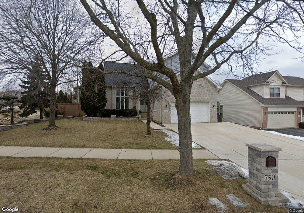
750 Harmon Blvd Hoffman Estates, IL 60169
South Hoffman Estates NeighborhoodEstimated Value: $646,054 - $742,000
3
Beds
3
Baths
2,944
Sq Ft
$239/Sq Ft
Est. Value
About This Home
This home is located at 750 Harmon Blvd, Hoffman Estates, IL 60169 and is currently estimated at $704,764, approximately $239 per square foot. 750 Harmon Blvd is a home located in Cook County with nearby schools including Neil Armstrong Elementary School, Helen Keller Junior High School, and Hoffman Estates High School.
Ownership History
Date
Name
Owned For
Owner Type
Purchase Details
Closed on
Sep 30, 2005
Sold by
Adu Brako Eugene and Adu Brako Bertha J
Bought by
Patel Mukund and Patel Daxa
Current Estimated Value
Home Financials for this Owner
Home Financials are based on the most recent Mortgage that was taken out on this home.
Original Mortgage
$200,000
Interest Rate
5.98%
Mortgage Type
Fannie Mae Freddie Mac
Purchase Details
Closed on
Nov 15, 1994
Sold by
The Board Of Education Of Township High
Bought by
Adu Brako Eugene and Adu Brako Bertha J
Home Financials for this Owner
Home Financials are based on the most recent Mortgage that was taken out on this home.
Original Mortgage
$224,000
Interest Rate
7.75%
Create a Home Valuation Report for This Property
The Home Valuation Report is an in-depth analysis detailing your home's value as well as a comparison with similar homes in the area
Home Values in the Area
Average Home Value in this Area
Purchase History
| Date | Buyer | Sale Price | Title Company |
|---|---|---|---|
| Patel Mukund | $500,500 | Baird & Warner Title Service | |
| Adu Brako Eugene | -- | Attorneys Natl Title Network |
Source: Public Records
Mortgage History
| Date | Status | Borrower | Loan Amount |
|---|---|---|---|
| Closed | Patel Mukund | $200,000 | |
| Previous Owner | Adu Brako Eugene | $224,000 |
Source: Public Records
Tax History
| Year | Tax Paid | Tax Assessment Tax Assessment Total Assessment is a certain percentage of the fair market value that is determined by local assessors to be the total taxable value of land and additions on the property. | Land | Improvement |
|---|---|---|---|---|
| 2025 | $13,406 | $62,000 | $13,229 | $48,771 |
| 2024 | $13,406 | $47,000 | $12,402 | $34,598 |
| 2023 | $12,943 | $47,000 | $12,402 | $34,598 |
| 2022 | $12,943 | $47,000 | $12,402 | $34,598 |
| 2021 | $12,689 | $41,204 | $10,955 | $30,249 |
| 2020 | $12,467 | $41,204 | $10,955 | $30,249 |
| 2019 | $12,400 | $45,783 | $10,955 | $34,828 |
| 2018 | $11,512 | $38,741 | $9,301 | $29,440 |
| 2017 | $11,327 | $38,741 | $9,301 | $29,440 |
| 2016 | $11,587 | $41,391 | $9,301 | $32,090 |
| 2015 | $12,185 | $40,563 | $8,061 | $32,502 |
| 2014 | $11,988 | $40,563 | $8,061 | $32,502 |
| 2013 | $11,663 | $40,563 | $8,061 | $32,502 |
Source: Public Records
Map
Nearby Homes
- 845 Harmon Blvd
- 1103 Southbridge Ln
- 1708 Southbridge Ct
- 1975 Leiter Way Unit 12002
- 1982 Leiter Way Unit 13004
- 1985 Leiter Way Unit 1102
- 1988 Leiter Way Unit 13001
- 1979 Leiter Way Unit 12004
- 1981 Leiter Way Unit 12005
- 1994 Leiter Way Unit 14003
- 1977 Leiter Way Unit 12003
- 1986 Leiter Way Unit 13002
- 1989 Leiter Way Unit 11004
- 1026 Denham Place Unit 1
- 1300 Chatsworth Ln
- 725 Leslie Ln
- 644 Leslie Ln
- 1975 Windsong Dr Unit 333E1
- 1365 Newcastle Ln
- 720 Huntly Ct Unit 1
- 760 Harmon Blvd
- 807 Apple Dr
- 770 Harmon Blvd
- 803 Apple Dr
- 755 Harmon Blvd
- 809 Apple Dr
- 765 Harmon Blvd
- 721 Stockbridge Ct
- 722 Stockbridge Ct Unit 1
- 780 Harmon Blvd
- 725 Clarendon Springs Ct
- 785 Harmon Blvd
- 813 Apple Dr
- 790 Harmon Blvd
- 717 Stockbridge Ct
- 718 Stockbridge Ct
- 721 Clarendon Springs Ct
- 800 Apple Dr
- 795 Harmon Blvd
- 806 Apple Dr
Your Personal Tour Guide
Ask me questions while you tour the home.