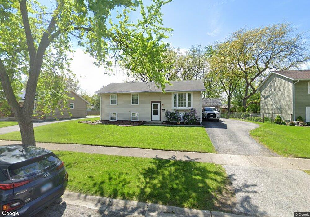
750 Harvard Ln Matteson, IL 60443
West Matteson NeighborhoodEstimated Value: $211,000 - $240,975
4
Beds
2
Baths
1,450
Sq Ft
$155/Sq Ft
Est. Value
About This Home
This home is located at 750 Harvard Ln, Matteson, IL 60443 and is currently estimated at $224,494, approximately $154 per square foot. 750 Harvard Ln is a home located in Cook County with nearby schools including Colin Powell Middle School.
Ownership History
Date
Name
Owned For
Owner Type
Purchase Details
Closed on
Dec 13, 2011
Sold by
Izral Kathleen A and Collins Joan M
Bought by
Kurns Tiffany N and Kurns Rebecca H
Current Estimated Value
Home Financials for this Owner
Home Financials are based on the most recent Mortgage that was taken out on this home.
Original Mortgage
$97,465
Outstanding Balance
$67,436
Interest Rate
4.25%
Mortgage Type
FHA
Estimated Equity
$157,058
Purchase Details
Closed on
Dec 16, 1993
Sold by
Sullivan Michael S
Bought by
Sullivan Michael S and Michael S Sullivan Trust
Create a Home Valuation Report for This Property
The Home Valuation Report is an in-depth analysis detailing your home's value as well as a comparison with similar homes in the area
Home Values in the Area
Average Home Value in this Area
Purchase History
| Date | Buyer | Sale Price | Title Company |
|---|---|---|---|
| Kurns Tiffany N | $100,000 | Chicago Title Insurance Co | |
| Sullivan Michael S | -- | -- |
Source: Public Records
Mortgage History
| Date | Status | Borrower | Loan Amount |
|---|---|---|---|
| Open | Kurns Tiffany N | $97,465 |
Source: Public Records
Tax History Compared to Growth
Tax History
| Year | Tax Paid | Tax Assessment Tax Assessment Total Assessment is a certain percentage of the fair market value that is determined by local assessors to be the total taxable value of land and additions on the property. | Land | Improvement |
|---|---|---|---|---|
| 2024 | $5,673 | $17,000 | $3,360 | $13,640 |
| 2023 | $5,697 | $17,000 | $3,360 | $13,640 |
| 2022 | $5,697 | $10,641 | $2,940 | $7,701 |
| 2021 | $5,750 | $10,640 | $2,940 | $7,700 |
| 2020 | $5,556 | $10,640 | $2,940 | $7,700 |
| 2019 | $6,042 | $11,058 | $2,730 | $8,328 |
| 2018 | $5,954 | $11,058 | $2,730 | $8,328 |
| 2017 | $5,789 | $11,058 | $2,730 | $8,328 |
| 2016 | $5,389 | $10,414 | $2,520 | $7,894 |
| 2015 | $5,292 | $10,414 | $2,520 | $7,894 |
| 2014 | $5,148 | $10,414 | $2,520 | $7,894 |
| 2013 | $4,046 | $8,795 | $2,520 | $6,275 |
Source: Public Records
Map
Nearby Homes
- 5631 Colgate Ln
- 824 Dartmouth Ave
- 829 Princeton Ave
- 856 Notre Dame Dr
- 907 Dartmouth Ave
- 818 Princeton Ave
- 919 Dartmouth Ave
- 953 Dartmouth Ave
- 948 Dartmouth Ave
- 5345 Stanford Ln
- 985 Regent Dr
- 970 Regent Dr
- 997 Regent Dr
- 1005 Regent Dr
- 1030 Regent Dr
- 322 Central Ave
- 340 Maryview Ct
- 5522 Mallard Dr
- 733 Old Meadow Rd
- 111 Echelon Cir
- 758 Harvard Ln
- 758 Harvard Ln Unit 1
- 744 Harvard Ln
- 800 Harvard Ln
- 736 Harvard Ln
- 801 Central Ave
- 805 Central Ave
- 751 Harvard Ln
- 801 Harvard Ln
- 806 Harvard Ln
- 811 Central Ave
- 728 Harvard Ln
- 757 Central Ave
- 732 Notre Dame Dr
- 817 Central Ave
- 742 Notre Dame Dr
- 803 Purdue Ln
- 812 Harvard Ln
- 750 Notre Dame Dr
- 720 Notre Dame Dr