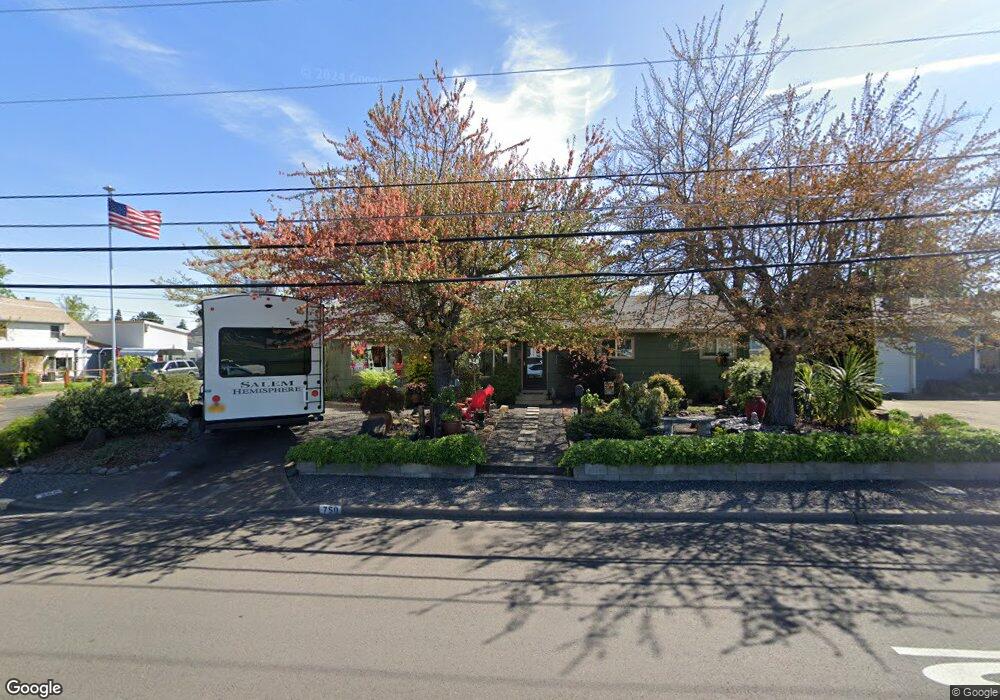
750 N 3rd St Central Point, OR 97502
Estimated Value: $356,000 - $373,000
3
Beds
2
Baths
1,800
Sq Ft
$204/Sq Ft
Est. Value
About This Home
This home is located at 750 N 3rd St, Central Point, OR 97502 and is currently estimated at $367,894, approximately $204 per square foot. 750 N 3rd St is a home located in Jackson County with nearby schools including Jewett Elementary School, Scenic Middle School, and Crater High School.
Ownership History
Date
Name
Owned For
Owner Type
Purchase Details
Closed on
Apr 14, 2020
Sold by
Wiege John A and Wiege Ivy Elizabeth
Bought by
Wiege John A and Wiege Ivy E
Current Estimated Value
Purchase Details
Closed on
Dec 22, 2015
Sold by
Davis Dave and The Dave & Susen Davis Trust
Bought by
Federal National Mortgage Association
Purchase Details
Closed on
Jun 8, 2001
Sold by
The Chicago Trust Company Of California
Bought by
Pigott Ivy Elizabeth
Home Financials for this Owner
Home Financials are based on the most recent Mortgage that was taken out on this home.
Original Mortgage
$89,500
Interest Rate
7.14%
Purchase Details
Closed on
Jun 4, 2001
Sold by
Wiege Ivy Elizabeth and Pigott Ivy Elizabeth
Bought by
Wiege John A
Home Financials for this Owner
Home Financials are based on the most recent Mortgage that was taken out on this home.
Original Mortgage
$89,500
Interest Rate
7.14%
Create a Home Valuation Report for This Property
The Home Valuation Report is an in-depth analysis detailing your home's value as well as a comparison with similar homes in the area
Home Values in the Area
Average Home Value in this Area
Purchase History
| Date | Buyer | Sale Price | Title Company |
|---|---|---|---|
| Wiege John A | -- | None Available | |
| Federal National Mortgage Association | $208,000 | Fa | |
| Pigott Ivy Elizabeth | $75,619 | Amerititle | |
| Wiege John A | -- | Amerititle |
Source: Public Records
Mortgage History
| Date | Status | Borrower | Loan Amount |
|---|---|---|---|
| Previous Owner | Wiege John A | $89,500 |
Source: Public Records
Tax History Compared to Growth
Tax History
| Year | Tax Paid | Tax Assessment Tax Assessment Total Assessment is a certain percentage of the fair market value that is determined by local assessors to be the total taxable value of land and additions on the property. | Land | Improvement |
|---|---|---|---|---|
| 2025 | $2,990 | $179,810 | $57,590 | $122,220 |
| 2024 | $2,990 | $174,580 | $55,910 | $118,670 |
| 2023 | $2,893 | $169,500 | $54,290 | $115,210 |
| 2022 | $2,826 | $169,500 | $54,290 | $115,210 |
| 2021 | $2,745 | $164,570 | $52,710 | $111,860 |
| 2020 | $2,665 | $159,780 | $51,170 | $108,610 |
| 2019 | $2,600 | $150,620 | $48,230 | $102,390 |
| 2018 | $2,520 | $146,240 | $46,830 | $99,410 |
| 2017 | $2,457 | $146,240 | $46,830 | $99,410 |
| 2016 | $2,386 | $137,860 | $44,140 | $93,720 |
| 2015 | $2,286 | $137,860 | $44,140 | $93,720 |
| 2014 | $2,228 | $129,960 | $41,610 | $88,350 |
Source: Public Records
Map
Nearby Homes
- 55 Crater Ln
- 1010 N 3rd St
- 342 Hazel St
- 741 Hazel St
- 431 N 5th St
- 920 N 10th St
- 833 Hazel St
- 905 Comet Ave
- 405 N 9th St
- 4626 N Pacific Hwy
- 546 Laurel St
- 144 N 5th St
- 0 Peninger Rd
- 0 Boulder Ridge St
- 845 Manzanita St
- 327 Brookhaven Dr
- 356 Marian Ave Unit 40
- 626 Griffin Oaks Dr
- 1167 Boulder Ridge St
- 4035 Rock Way