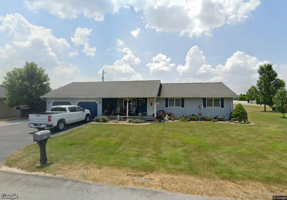
750 N 8th St Upper Sandusky, OH 43351
Estimated Value: $177,000 - $235,713
3
Beds
2
Baths
1,536
Sq Ft
$133/Sq Ft
Est. Value
About This Home
This home is located at 750 N 8th St, Upper Sandusky, OH 43351 and is currently estimated at $204,678, approximately $133 per square foot. 750 N 8th St is a home located in Wyandot County with nearby schools including Upper Sandusky High School and St. Peter Elementary School.
Ownership History
Date
Name
Owned For
Owner Type
Purchase Details
Closed on
Nov 12, 2019
Sold by
Ray Shannon J and Ray Timothy
Bought by
Ray Shannon J and Ray Timothy
Current Estimated Value
Home Financials for this Owner
Home Financials are based on the most recent Mortgage that was taken out on this home.
Original Mortgage
$90,000
Interest Rate
3.75%
Mortgage Type
New Conventional
Create a Home Valuation Report for This Property
The Home Valuation Report is an in-depth analysis detailing your home's value as well as a comparison with similar homes in the area
Home Values in the Area
Average Home Value in this Area
Purchase History
| Date | Buyer | Sale Price | Title Company |
|---|---|---|---|
| Ray Shannon J | -- | None Available |
Source: Public Records
Mortgage History
| Date | Status | Borrower | Loan Amount |
|---|---|---|---|
| Closed | Ray Shannon J | $90,000 |
Source: Public Records
Tax History Compared to Growth
Tax History
| Year | Tax Paid | Tax Assessment Tax Assessment Total Assessment is a certain percentage of the fair market value that is determined by local assessors to be the total taxable value of land and additions on the property. | Land | Improvement |
|---|---|---|---|---|
| 2024 | $1,863 | $58,570 | $7,220 | $51,350 |
| 2023 | $1,863 | $58,570 | $7,220 | $51,350 |
| 2022 | $1,908 | $46,640 | $6,020 | $40,620 |
| 2021 | $1,590 | $46,640 | $6,020 | $40,620 |
| 2020 | $1,589 | $46,640 | $6,020 | $40,620 |
| 2019 | $1,587 | $46,640 | $6,020 | $40,620 |
| 2018 | $1,345 | $40,240 | $5,480 | $34,760 |
| 2017 | $1,366 | $40,240 | $5,480 | $34,760 |
| 2016 | $1,281 | $40,240 | $5,480 | $34,760 |
| 2015 | -- | $38,840 | $5,480 | $33,360 |
| 2014 | -- | $38,840 | $5,480 | $33,360 |
| 2013 | -- | $38,840 | $5,480 | $33,360 |
Source: Public Records
Map
Nearby Homes
- 606 Polaris Dr
- 324 Keller Ct
- 620 Mission Dr
- 453 N 7th St
- 230 E Bigelow St
- 386 W Finley St
- 334 N 4th St
- 314 N 4th St
- 137 N 8th St
- 116 E Walker St
- 435 Front St
- 0 State Route 53 & 67 Unit 11165687
- 213 E Johnson St
- 955 Greenbrier Rd
- 225 S Hazel St
- 346 W Hicks St
- 9768 Township Road 111
- 123 Rivers Edge Ln
- 305 S 5th St
- 122 Rivers Edge Ln
- 729 Chestnut Dr
- 718 N 8th St
- 718 N 8th St Unit 718 & 720
- 725 Chestnut Dr
- 725 Chestnut Dr Unit 725 & 727
- 727 Chestnut Dr
- 109 Houpt Dr
- 716 N 8th St
- 714 N 8th St
- 714 N 8th St Unit 9 Parcels
- 723 Chestnut Dr
- 230 Ash Dr
- 726 Chestnut Dr
- 714 Chestnut Dr
- 716 Chestnut Dr Unit 8
- 716 Chestnut Dr
- 716 Chestnut Dr Unit 8
- 712 N 8th St
- 718 Chestnut Dr
- 712 Chestnut Dr