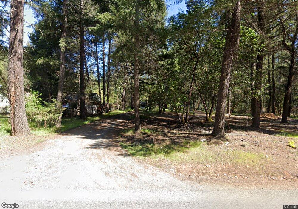
750 Queens Branch Rd Rogue River, OR 97537
Estimated Value: $376,000 - $401,000
3
Beds
2
Baths
1,312
Sq Ft
$296/Sq Ft
Est. Value
About This Home
This home is located at 750 Queens Branch Rd, Rogue River, OR 97537 and is currently estimated at $388,541, approximately $296 per square foot. 750 Queens Branch Rd is a home located in Jackson County with nearby schools including Rogue River Elementary School, South Valley Academy, and Rogue River Junior/Senior High School.
Ownership History
Date
Name
Owned For
Owner Type
Purchase Details
Closed on
Jun 16, 2016
Sold by
Raybourne Pamela S
Bought by
Raybourne Pamela S
Current Estimated Value
Purchase Details
Closed on
Jun 1, 2005
Sold by
Fitchie Steven Michael
Bought by
Raybourne James W
Home Financials for this Owner
Home Financials are based on the most recent Mortgage that was taken out on this home.
Original Mortgage
$175,500
Outstanding Balance
$103,013
Interest Rate
7.75%
Mortgage Type
Stand Alone First
Estimated Equity
$285,528
Purchase Details
Closed on
Jan 16, 2004
Sold by
Strigle Janet Carol
Bought by
Fitchie Steven Michael
Home Financials for this Owner
Home Financials are based on the most recent Mortgage that was taken out on this home.
Original Mortgage
$80,000
Interest Rate
5.86%
Mortgage Type
Purchase Money Mortgage
Create a Home Valuation Report for This Property
The Home Valuation Report is an in-depth analysis detailing your home's value as well as a comparison with similar homes in the area
Home Values in the Area
Average Home Value in this Area
Purchase History
| Date | Buyer | Sale Price | Title Company |
|---|---|---|---|
| Raybourne Pamela S | -- | None Available | |
| Raybourne James W | $195,000 | First American | |
| Fitchie Steven Michael | $109,000 | First American |
Source: Public Records
Mortgage History
| Date | Status | Borrower | Loan Amount |
|---|---|---|---|
| Open | Raybourne James W | $175,500 | |
| Previous Owner | Fitchie Steven Michael | $80,000 |
Source: Public Records
Tax History Compared to Growth
Tax History
| Year | Tax Paid | Tax Assessment Tax Assessment Total Assessment is a certain percentage of the fair market value that is determined by local assessors to be the total taxable value of land and additions on the property. | Land | Improvement |
|---|---|---|---|---|
| 2025 | $2,009 | $198,300 | $83,520 | $114,780 |
| 2024 | $2,009 | $192,530 | $114,760 | $77,770 |
| 2023 | $1,943 | $186,930 | $111,420 | $75,510 |
| 2022 | $1,902 | $186,930 | $111,420 | $75,510 |
| 2021 | $1,847 | $181,490 | $108,180 | $73,310 |
| 2020 | $1,803 | $176,210 | $105,040 | $71,170 |
| 2019 | $1,759 | $166,100 | $99,010 | $67,090 |
| 2018 | $1,715 | $161,270 | $96,130 | $65,140 |
| 2017 | $1,675 | $161,270 | $96,130 | $65,140 |
| 2016 | $1,634 | $152,020 | $90,630 | $61,390 |
| 2015 | $1,584 | $152,020 | $90,630 | $61,390 |
| 2014 | $1,532 | $143,310 | $85,420 | $57,890 |
Source: Public Records
Map
Nearby Homes
- 255 Queens Branch Rd
- 149 Queens Branch Rd
- 7435 W Evans Creek Rd
- 7118 Redthorne Rd
- 7310 W Evans Creek Rd
- 9184 W Evans Creek Rd
- 643 Covered Bridge Rd
- 835 Minthorne Rd
- 1475 Pleasant Creek Rd
- 1205 Pine Grove Rd
- 1105 Pine Grove Rd
- 8951 E Evans Creek Rd Unit 14
- 6324 E Evans Creek Rd
- 798 Covered Bridge Rd
- 8797 W Evans Creek Rd
- 9820 E Evans Creek Rd
- 5406 E Evans Creek Rd
- 256 Deruyte Way
- 1480 Sykes Creek Rd
- 254 Deruyte Way
- 668 Queens Branch Rd
- 770 Queens Branch Rd
- 792 Queens Branch Rd
- 706 Queens Branch Rd
- 664 Queens Branch Rd
- 820 Queens Branch Rd
- 789 Queens Branch Rd
- 697 Queens Branch Rd
- 620 Queens Branch Rd
- 663 Queens Branch Rd
- 810 Queens Branch Rd
- 904 Queens Branch Rd
- 900 Queens Branch Rd
- 721 Queens Branch Rd
- 660 Queens Branch Rd
- 592 Queens Branch Rd
- 806 Queens Branch Rd
- 805 Queens Branch Rd
- 900 Queens Branch Rd
- 731 Queens Branch Rd