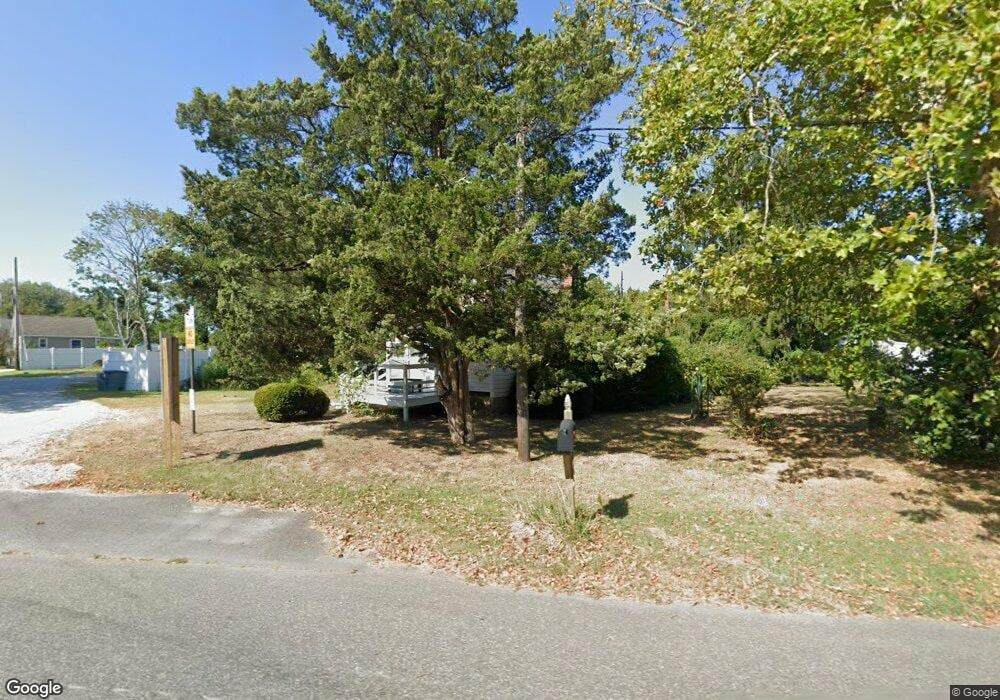
750 Route 9 Unit U Cape May, NJ 08204
Estimated Value: $278,522 - $902,000
--
Bed
--
Bath
480
Sq Ft
$986/Sq Ft
Est. Value
About This Home
This home is located at 750 Route 9 Unit U, Cape May, NJ 08204 and is currently estimated at $473,381, approximately $986 per square foot. 750 Route 9 Unit U is a home located in Cape May County with nearby schools including Carl T. Mitnick School, David C. Douglass Veterans Memorial School, and Maud Abrams School.
Ownership History
Date
Name
Owned For
Owner Type
Purchase Details
Closed on
Oct 4, 2024
Sold by
Herker William
Bought by
First Knight Cape 750 Llc and First Knight 715 Llc
Current Estimated Value
Purchase Details
Closed on
Feb 22, 2019
Sold by
Skorupa Marie A
Bought by
Herker William
Purchase Details
Closed on
Oct 31, 2002
Sold by
Hendley Arline J
Bought by
Skorupa Marie A
Home Financials for this Owner
Home Financials are based on the most recent Mortgage that was taken out on this home.
Original Mortgage
$86,500
Interest Rate
6.09%
Create a Home Valuation Report for This Property
The Home Valuation Report is an in-depth analysis detailing your home's value as well as a comparison with similar homes in the area
Home Values in the Area
Average Home Value in this Area
Purchase History
| Date | Buyer | Sale Price | Title Company |
|---|---|---|---|
| First Knight Cape 750 Llc | $999,999 | None Listed On Document | |
| Herker William | $94,500 | -- | |
| Skorupa Marie A | $92,000 | -- |
Source: Public Records
Mortgage History
| Date | Status | Borrower | Loan Amount |
|---|---|---|---|
| Previous Owner | Skorupa Marie A | $86,500 |
Source: Public Records
Tax History Compared to Growth
Tax History
| Year | Tax Paid | Tax Assessment Tax Assessment Total Assessment is a certain percentage of the fair market value that is determined by local assessors to be the total taxable value of land and additions on the property. | Land | Improvement |
|---|---|---|---|---|
| 2025 | $2,491 | $122,400 | $94,300 | $28,100 |
| 2024 | $2,491 | $122,400 | $94,300 | $28,100 |
| 2023 | $2,453 | $122,400 | $94,300 | $28,100 |
| 2022 | $2,378 | $122,400 | $94,300 | $28,100 |
| 2021 | $2,301 | $122,400 | $94,300 | $28,100 |
| 2020 | $2,267 | $122,400 | $94,300 | $28,100 |
| 2019 | $2,206 | $122,400 | $94,300 | $28,100 |
| 2018 | $2,154 | $122,400 | $94,300 | $28,100 |
| 2017 | $2,155 | $122,400 | $94,300 | $28,100 |
| 2016 | $2,126 | $122,400 | $94,300 | $28,100 |
| 2015 | $2,058 | $122,400 | $94,300 | $28,100 |
| 2014 | $1,990 | $122,400 | $94,300 | $28,100 |
Source: Public Records
Map
Nearby Homes
- 753 Route 9 Unit U
- 313 Nantucket Dr
- 808 Westfield Ave
- 424 Portsmouth Rd
- 709 U S 9 Unit 365
- 709 U S 9
- 709 U S 9 Unit 698
- 709 Route 9 Unit 321
- 709 Route 9 Unit 123
- 709 Route 9
- 709 Route 9 Unit 126
- 818 Shunpike Rd
- 120 Victoria Dr
- 1031 Seashore Rd
- 668 Crawford Rd
- 902 Ocean Dr Unit 222
- 902 Ocean Dr Unit 808
- 902 Ocean Dr Unit 1604
- 902 Ocean Dr Unit 906
- 1023 Shunpike Rd
- 752 Route 9 Unit U
- 746 Route 9 Unit U
- 756 Route 9
- 755 New Jersey 109 Unit Cape May Landing
- 216 W Vineyard Ct
- 301 N Vineyard Ct
- 305 N Vineyard Ct
- 303 N Vineyard Ct
- 214 W Vineyard Ct
- 307 N Vineyard Ct
- 16 Captains Ct
- 212 W Vineyard Ct
- 212 E Vineyard Ct
- 6 Harvest Ct
- 211 W Vineyard Ct
- 14 Captains Ct
- 217 E Vineyard Ct
- 210 W Vineyard Ct
- 210 E Vineyard Ct
- 8 Bottle Creek Dr