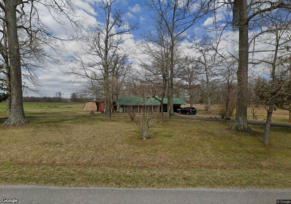
750 Simpson Rd Bradyville, TN 37026
Cannon County NeighborhoodEstimated Value: $221,100 - $295,000
--
Bed
1
Bath
952
Sq Ft
$266/Sq Ft
Est. Value
About This Home
This home is located at 750 Simpson Rd, Bradyville, TN 37026 and is currently estimated at $253,525, approximately $266 per square foot. 750 Simpson Rd is a home located in Cannon County with nearby schools including Cannon County High School and Woodbury Sda School.
Ownership History
Date
Name
Owned For
Owner Type
Purchase Details
Closed on
Jul 20, 2015
Sold by
Davenport Alvin E Jr Estate
Bought by
Daniel Family Limited Partnership
Current Estimated Value
Purchase Details
Closed on
May 14, 2010
Bought by
Davenport Alvin Eric
Purchase Details
Closed on
Jun 25, 1998
Bought by
Davenport Alvin E
Purchase Details
Closed on
Oct 13, 1988
Bought by
Davenport Alvin and Davenport Gracie
Purchase Details
Closed on
Dec 1, 1987
Bought by
Kiousis Beatrice
Purchase Details
Closed on
Nov 23, 1968
Bought by
Wilson Lattie B and Wilson Geraldine
Create a Home Valuation Report for This Property
The Home Valuation Report is an in-depth analysis detailing your home's value as well as a comparison with similar homes in the area
Home Values in the Area
Average Home Value in this Area
Purchase History
| Date | Buyer | Sale Price | Title Company |
|---|---|---|---|
| Daniel Family Limited Partnership | $90,000 | -- | |
| Davenport Alvin Eric | -- | -- | |
| Davenport Alvin E | -- | -- | |
| Davenport Alvin | $35,000 | -- | |
| Kiousis Beatrice | -- | -- | |
| Wilson Lattie B | -- | -- |
Source: Public Records
Tax History Compared to Growth
Tax History
| Year | Tax Paid | Tax Assessment Tax Assessment Total Assessment is a certain percentage of the fair market value that is determined by local assessors to be the total taxable value of land and additions on the property. | Land | Improvement |
|---|---|---|---|---|
| 2025 | $734 | $45,975 | $0 | $0 |
| 2024 | $734 | $45,975 | $23,850 | $22,125 |
| 2023 | $701 | $45,975 | $23,850 | $22,125 |
| 2022 | $686 | $27,875 | $14,000 | $13,875 |
| 2021 | $654 | $26,600 | $14,000 | $12,600 |
| 2020 | $654 | $26,600 | $14,000 | $12,600 |
| 2019 | $654 | $26,600 | $14,000 | $12,600 |
| 2018 | $634 | $26,600 | $14,000 | $12,600 |
| 2017 | $636 | $22,000 | $11,250 | $10,750 |
| 2016 | $605 | $22,000 | $11,250 | $10,750 |
| 2015 | $557 | $22,000 | $11,250 | $10,750 |
| 2014 | $593 | $23,425 | $11,075 | $12,350 |
Source: Public Records
Map
Nearby Homes
- 0 Heather Heights
- 90 Heather Heights
- Lot 8&9 Heather Heights
- Lot 11 Heather Heights
- Lot 13 Heather Heights
- Lot 10 Heather Heights
- Lot 5 Heather Heights
- Lot 9 Heather Heights
- Lot 8 Heather Heights
- Lot 7 Heather Heights
- 3840 Hollow Springs Rd
- 13 Hollow Springs Rd
- 108 Cove Hill Rd
- 481 Rogers Rd
- 7274 Jim Cummings Hwy
- 49 Bush Rd
- 6728 Jim Cummings Hwy
- 266 Mcbride Ln
- 773 Simpson Rd
- 680 Simpson Rd
- 711 Simpson Rd
- 819 Simpson Rd
- 875 Simpson Rd
- 595 Simpson Rd
- 979 Simpson Rd
- 533 Simpson Rd
- 480 Joe Daniel Rd
- 1125 Simpson Rd
- 380 Simpson Rd
- 375 Simpson Rd
- 1155 Simpson Rd
- 1175 Simpson Rd
- 439 Joe Daniel Rd
- 1176 Simpson Rd
- 313 Bowman Ln
- 1225 Simpson Rd
- 1255 Simpson Rd
- 239 Simpson Rd