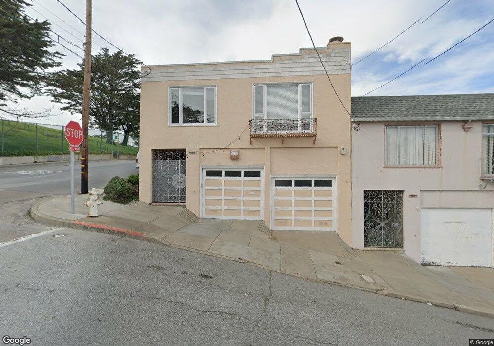
750 Wayland St San Francisco, CA 94134
Portola NeighborhoodEstimated Value: $897,352 - $1,240,000
--
Bed
1
Bath
1,232
Sq Ft
$855/Sq Ft
Est. Value
About This Home
This home is located at 750 Wayland St, San Francisco, CA 94134 and is currently estimated at $1,053,588, approximately $855 per square foot. 750 Wayland St is a home located in San Francisco County with nearby schools including Edward R. Taylor Elementary, King Jr. (Martin Luther) Academic Middle School, and Alta Vista School.
Ownership History
Date
Name
Owned For
Owner Type
Purchase Details
Closed on
Mar 11, 2019
Sold by
Casazza Leslie M
Bought by
Casazza Leslie M and The Leslie M Casazza Jr Revoca
Current Estimated Value
Purchase Details
Closed on
Nov 11, 2010
Sold by
Casazza Leslie M and Casazza Edward J
Bought by
Casazza Leslie M
Purchase Details
Closed on
Oct 14, 1998
Sold by
Casazza Leslie M and Revocab Isabel M 1998
Bought by
Casazza Leslie M and Casazza Isabel M
Purchase Details
Closed on
Aug 31, 1998
Sold by
Casazza Leslie M and Casazza Isabel M
Bought by
Casazza Leslie M and Casazza Irene M
Create a Home Valuation Report for This Property
The Home Valuation Report is an in-depth analysis detailing your home's value as well as a comparison with similar homes in the area
Home Values in the Area
Average Home Value in this Area
Purchase History
| Date | Buyer | Sale Price | Title Company |
|---|---|---|---|
| Casazza Leslie M | -- | None Available | |
| Casazza Leslie M | -- | None Available | |
| Casazza Leslie M | -- | -- | |
| Casazza Leslie M | -- | -- |
Source: Public Records
Tax History Compared to Growth
Tax History
| Year | Tax Paid | Tax Assessment Tax Assessment Total Assessment is a certain percentage of the fair market value that is determined by local assessors to be the total taxable value of land and additions on the property. | Land | Improvement |
|---|---|---|---|---|
| 2025 | $1,691 | $78,486 | $24,693 | $53,793 |
| 2024 | $1,691 | $76,948 | $24,209 | $52,739 |
| 2023 | $1,654 | $75,440 | $23,735 | $51,705 |
| 2022 | $1,605 | $73,962 | $23,270 | $50,692 |
| 2021 | $1,571 | $72,513 | $22,814 | $49,699 |
| 2020 | $1,650 | $71,771 | $22,581 | $49,190 |
| 2019 | $1,551 | $70,365 | $22,139 | $48,226 |
| 2018 | $1,501 | $68,986 | $21,705 | $47,281 |
| 2017 | $1,185 | $67,634 | $21,280 | $46,354 |
| 2016 | $1,134 | $66,309 | $20,863 | $45,446 |
| 2015 | $1,118 | $65,314 | $20,550 | $44,764 |
| 2014 | $1,090 | $64,036 | $20,148 | $43,888 |
Source: Public Records
Map
Nearby Homes
- 548 Burrows St
- 406 Goettingen St
- 1162 Bowdoin St
- 920 Felton St
- 107 Dwight St
- 180 Princeton St
- 1029 Silver Ave
- 153 Silliman St
- 120 Princeton St
- 2931 San Bruno Ave
- 46 Dartmouth St
- 819 Brussels St
- 3101 San Bruno Ave
- 2626 San Bruno Ave
- 1316 Bowdoin St
- 50 University St
- 38 Colby St
- 1830 Egbert Ave
- 248 Ordway St
- 1636 Bacon St
- 744 Wayland St
- 738 Wayland St
- 875 Bowdoin St
- 732 Wayland St
- 726 Wayland St
- 861 Bowdoin St
- 851 Bowdoin St
- 490 Hamilton St
- 478 Hamilton St
- 470 Hamilton St
- 460 Hamilton St
- 839 Bowdoin St
- 450 Hamilton St
- 833 Bowdoin St
- 436 Hamilton St
- 827 Bowdoin St
- 424 Hamilton St
- 770 Woolsey St
- 745 Bacon St
- 739 Bacon St