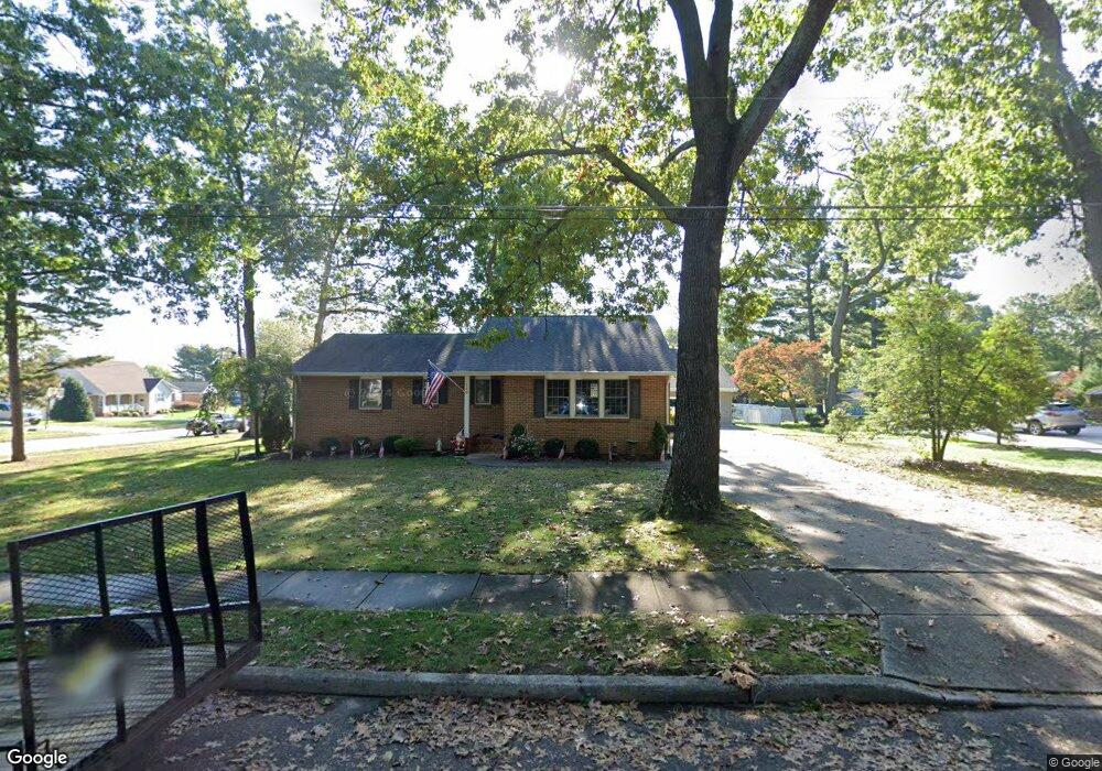
750 Wayne Ave Hammonton, NJ 08037
Estimated Value: $349,715 - $424,000
Studio
--
Bath
1,572
Sq Ft
$250/Sq Ft
Est. Value
About This Home
This home is located at 750 Wayne Ave, Hammonton, NJ 08037 and is currently estimated at $393,679, approximately $250 per square foot. 750 Wayne Ave is a home located in Atlantic County with nearby schools including Hammonton Early Childhood Education Center, Warren E. Sooy Jr. Elementary School, and Hammonton Middle School.
Ownership History
Date
Name
Owned For
Owner Type
Purchase Details
Closed on
Dec 29, 2005
Sold by
Guerer Rose Rita
Bought by
Joanne Pullia
Current Estimated Value
Home Financials for this Owner
Home Financials are based on the most recent Mortgage that was taken out on this home.
Original Mortgage
$150,000
Outstanding Balance
$82,406
Interest Rate
6.28%
Mortgage Type
Purchase Money Mortgage
Estimated Equity
$311,273
Purchase Details
Closed on
Sep 10, 2001
Sold by
Guerere Rose Rita and Decicco Anne Marie
Bought by
Guerere Rose Rita
Create a Home Valuation Report for This Property
The Home Valuation Report is an in-depth analysis detailing your home's value as well as a comparison with similar homes in the area
Home Values in the Area
Average Home Value in this Area
Purchase History
| Date | Buyer | Sale Price | Title Company |
|---|---|---|---|
| Joanne Pullia | $150,000 | -- | |
| Guerere Rose Rita | $55,000 | -- | |
| Guerere Rose Rita | -- | -- |
Source: Public Records
Mortgage History
| Date | Status | Borrower | Loan Amount |
|---|---|---|---|
| Open | Joanne Pullia | $150,000 |
Source: Public Records
Tax History
| Year | Tax Paid | Tax Assessment Tax Assessment Total Assessment is a certain percentage of the fair market value that is determined by local assessors to be the total taxable value of land and additions on the property. | Land | Improvement |
|---|---|---|---|---|
| 2025 | $6,308 | $229,200 | $61,300 | $167,900 |
| 2024 | $6,308 | $229,200 | $61,300 | $167,900 |
Source: Public Records
Map
Nearby Homes
- 55 Plymouth Rd
- 144 Broadway Unit B
- 287 S White Horse Pike
- 19 Middle Rd
- 721 Central Ave
- 862 Central Ave
- 415 S White Horse Pike
- 26 N Packard St
- 10 N Packard St
- 301 N 4th St
- 34 N Packard St
- 124 Batchelor Ln
- 776 Fairview Ave
- 926 Central Ave
- 419 N Packard St
- 425 N Packard St
- 201 Grape St
- 327 Pleasant St E
- 119 Basin Rd
- 131 N 2nd St
- 720 Wayne Ave
- 136 Brynmaur Ave
- 131 Brynmaur Ave
- 721 Campanella Dr
- 142 Brynmaur Ave
- 129 Brynmaur Ave
- 710 Wayne Ave
- 139 Brynmaur Ave
- 711 Campanella Dr
- 709 Wayne Ave
- 774 Woodlawn Ave
- 145 Brynmaur Ave
- 700 Wayne Ave
- 122 Berwyn Ave
- 505 Marlyn Ave
- 116 Berwyn Ave
- 150 Brynmaur Ave
- 110 Berwyn Ave
- 443 Marlyn Ave
- 128 Berwyn Ave
Your Personal Tour Guide
Ask me questions while you tour the home.