7501 Lena Kay Dr Shepherd, MT 59079
Estimated Value: $556,315 - $709,000
5
Beds
3
Baths
3,018
Sq Ft
$208/Sq Ft
Est. Value
About This Home
This home is located at 7501 Lena Kay Dr, Shepherd, MT 59079 and is currently estimated at $627,829, approximately $208 per square foot. 7501 Lena Kay Dr is a home located in Yellowstone County with nearby schools including Shepherd Elementary School, Shepherd Middle School, and Shepherd High School.
Ownership History
Date
Name
Owned For
Owner Type
Purchase Details
Closed on
Oct 17, 2024
Sold by
Tompkins Street Inc
Bought by
Frank Nolan and Frank Emille
Current Estimated Value
Home Financials for this Owner
Home Financials are based on the most recent Mortgage that was taken out on this home.
Original Mortgage
$580,295
Outstanding Balance
$573,602
Interest Rate
6.77%
Mortgage Type
FHA
Estimated Equity
$54,227
Purchase Details
Closed on
Mar 8, 2024
Sold by
Tompkins Street Inc
Bought by
Frank Nolan and Frank Emilie
Home Financials for this Owner
Home Financials are based on the most recent Mortgage that was taken out on this home.
Original Mortgage
$580,295
Interest Rate
6.63%
Mortgage Type
FHA
Purchase Details
Closed on
Jun 20, 2023
Sold by
Lundberg Brigham J
Bought by
Quicken Loans Inc
Purchase Details
Closed on
Jan 29, 2010
Sold by
Rocky Mountain Properties Inc
Bought by
Bts Inc and Classic Design Homes
Create a Home Valuation Report for This Property
The Home Valuation Report is an in-depth analysis detailing your home's value as well as a comparison with similar homes in the area
Home Values in the Area
Average Home Value in this Area
Purchase History
| Date | Buyer | Sale Price | Title Company |
|---|---|---|---|
| Frank Nolan | -- | Flying S Title And Escrow | |
| Frank Nolan | -- | Flying S Title And Escrow | |
| Frank Nolan | -- | Flying S Title And Escrow | |
| Quicken Loans Inc | -- | None Listed On Document | |
| Bts Inc | -- | St |
Source: Public Records
Mortgage History
| Date | Status | Borrower | Loan Amount |
|---|---|---|---|
| Open | Frank Nolan | $580,295 | |
| Closed | Frank Nolan | $580,295 | |
| Previous Owner | Frank Nolan | $580,295 |
Source: Public Records
Tax History Compared to Growth
Tax History
| Year | Tax Paid | Tax Assessment Tax Assessment Total Assessment is a certain percentage of the fair market value that is determined by local assessors to be the total taxable value of land and additions on the property. | Land | Improvement |
|---|---|---|---|---|
| 2025 | $3,868 | $552,400 | $46,362 | $506,038 |
| 2024 | $3,868 | $449,800 | $34,843 | $414,957 |
| 2023 | $3,739 | $426,400 | $34,843 | $391,557 |
| 2022 | $3,238 | $344,400 | $0 | $0 |
| 2021 | $3,380 | $344,400 | $0 | $0 |
| 2020 | $3,365 | $331,000 | $0 | $0 |
| 2019 | $2,790 | $331,000 | $0 | $0 |
| 2018 | $2,672 | $297,600 | $0 | $0 |
| 2017 | $2,382 | $297,600 | $0 | $0 |
| 2016 | $2,593 | $307,000 | $0 | $0 |
| 2015 | $2,546 | $307,000 | $0 | $0 |
| 2014 | $2,448 | $158,364 | $0 | $0 |
Source: Public Records
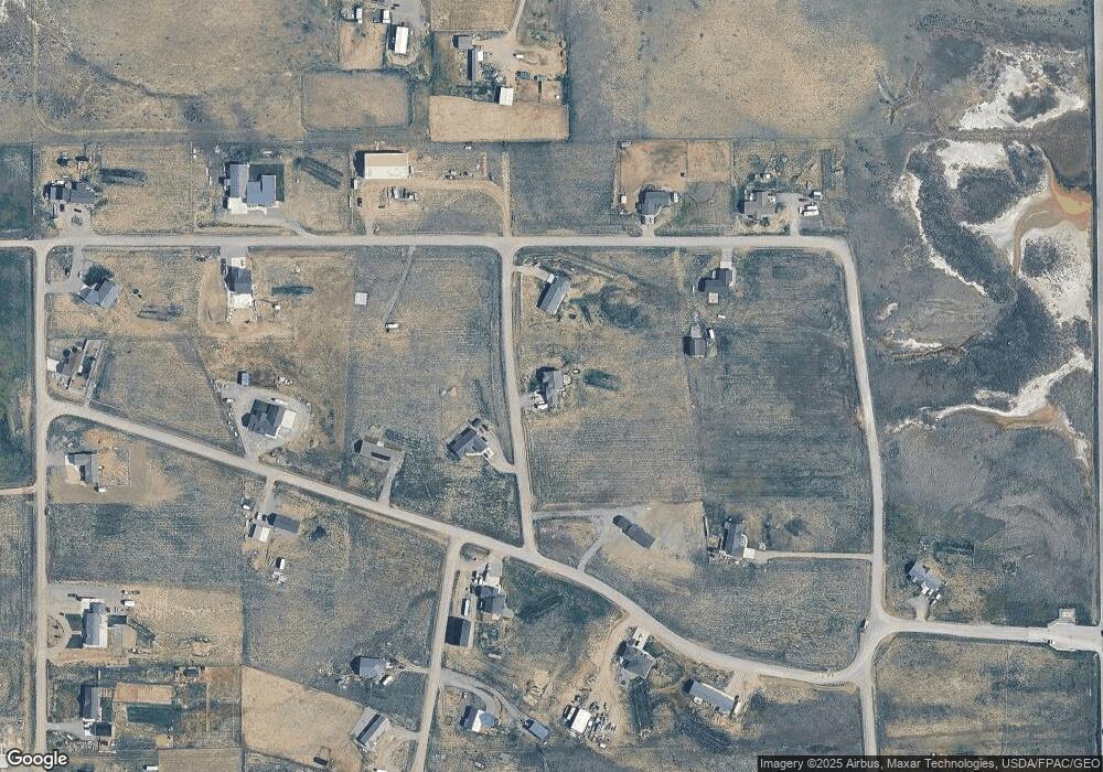
Map
Nearby Homes
- 3863 Glenn Edward Rd
- 7445 Horsemans Way
- 3625 Nellie Christine Dr
- 7306 Kendra Lynn Dr
- L1B4 True Grit St
- L4B4 Trumbo Cir
- L5B4 Trumbo Cir
- L16B3 True Grit St
- L2B4 True Grit St
- L3B4 Trumbo Cir
- L15B3 True Grit St
- L12B3 Molly Dr
- L13B3 Molly Dr
- L8B3 High Noon Dr
- L11B3 High Noon Dr
- L1B3 Molly Dr W
- L10B3 High Noon Dr
- L2B3 Molly Dr W
- L6B3 High Noon Dr
- L13B2 High Noon Dr
- 7531 Lena Kay Dr
- 7441 Lena Kay Dr
- 7454 Lena Kay Dr
- 0 Nellie Christie Dr
- 7506 Ty Trace
- 3805 Nellie Christine Dr
- TBD Nellie Christine Dr
- 3703 Glenn Edwards Rd
- 3703 Glen Edward Rd
- 3703 Glenn Edward Rd
- 9 Nellie Christie Dr
- 0000 Glenn Edward Rd
- 3852 Nellie Christine Dr
- 7371 Kylee Sue Dr
- 3725 Nellie Christine Dr
- 3725 Nellie Christine Dr
- 3835 Nellie Christine Dr
- 3708 Glenn Edward
- 3708 Glenn Edward Rd
- 7446 Ty Trace