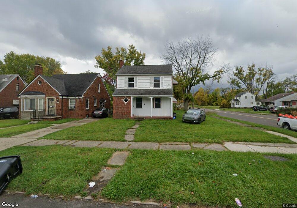
7503 W Outer Dr Detroit, MI 48235
College Park NeighborhoodEstimated Value: $110,000 - $113,000
3
Beds
1
Bath
1,276
Sq Ft
$87/Sq Ft
Est. Value
About This Home
This home is located at 7503 W Outer Dr, Detroit, MI 48235 and is currently estimated at $111,500, approximately $87 per square foot. 7503 W Outer Dr is a home located in Wayne County with nearby schools including John R. King Academic And Performing Arts Academy, Charles L. Spain Elementary-Middle School, and Edward 'Duke' Ellington Conservatory of Music and Art.
Ownership History
Date
Name
Owned For
Owner Type
Purchase Details
Closed on
Sep 24, 2020
Sold by
Wylie Emmanuel Quentin
Bought by
Nance Sean Reontay
Current Estimated Value
Purchase Details
Closed on
Jul 9, 2019
Sold by
Barner Jehier
Bought by
Barner Jenuen
Purchase Details
Closed on
Jul 28, 2015
Sold by
Shoa Llc
Bought by
Detroit Land Bank Authority
Purchase Details
Closed on
Mar 2, 2006
Sold by
Neaton David G and Neaton Marcella A
Bought by
Shoa Llc
Create a Home Valuation Report for This Property
The Home Valuation Report is an in-depth analysis detailing your home's value as well as a comparison with similar homes in the area
Home Values in the Area
Average Home Value in this Area
Purchase History
| Date | Buyer | Sale Price | Title Company |
|---|---|---|---|
| Nance Sean Reontay | -- | None Available | |
| Barner Jenuen | -- | None Available | |
| Detroit Land Bank Authority | -- | Attorney | |
| Detroit Land Bank Authority | -- | Attorney | |
| Shoa Llc | -- | None Available |
Source: Public Records
Tax History Compared to Growth
Tax History
| Year | Tax Paid | Tax Assessment Tax Assessment Total Assessment is a certain percentage of the fair market value that is determined by local assessors to be the total taxable value of land and additions on the property. | Land | Improvement |
|---|---|---|---|---|
| 2025 | -- | $0 | $0 | $0 |
| 2024 | -- | $0 | $0 | $0 |
| 2023 | $0 | $0 | $0 | $0 |
| 2022 | $0 | $0 | $0 | $0 |
| 2021 | $0 | $0 | $0 | $0 |
| 2020 | $0 | $0 | $0 | $0 |
| 2019 | $0 | $0 | $0 | $0 |
| 2018 | $0 | $10,400 | $0 | $0 |
| 2017 | $184 | $9,700 | $0 | $0 |
| 2016 | $1,761 | $20,100 | $0 | $0 |
| 2015 | $2,010 | $20,100 | $0 | $0 |
| 2013 | $2,955 | $29,550 | $0 | $0 |
| 2010 | -- | $43,323 | $1,260 | $42,063 |
Source: Public Records
Map
Nearby Homes
- 17196 Murray Hill St
- 17182 Murray Hill St
- 17552 Ferguson St
- 17360 Mansfield St
- 17151 Murray Hill St
- 17211 Rutherford St
- 7275 W Outer Dr
- 7266 W Outer Dr
- 18021 Ferguson St
- 18071 Saint Marys St
- 18210 Saint Marys St
- 18230 Saint Marys St
- 17227 Curtis St
- 16845 Prevost St
- 16839 Prevost St
- 16779 Biltmore St
- 18277 Asbury Park
- 15900 Curtis St
- 16741 Saint Marys St
- 16735 Saint Marys St
- 7495 W Outer Dr
- 7447 W Outer Dr
- 7487 W Outer Dr
- 17379 Murray Hill St Unit Bldg-Unit
- 17379 Murray Hill St
- 7479 W Outer Dr
- 17369 Murray Hill St
- 7437 W Outer Dr
- 17376 Asbury Park
- 17376 Murray Hill St
- 7467 W Outer Dr
- 7467 W Outer Dr
- 17363 Murray Hill St
- 17368 Murray Hill St
- 17370 Asbury Park
- 7429 W Outer Dr
- 17353 Murray Hill St
- 17360 Murray Hill St
- 17364 Asbury Park
- 7421 W Outer Dr