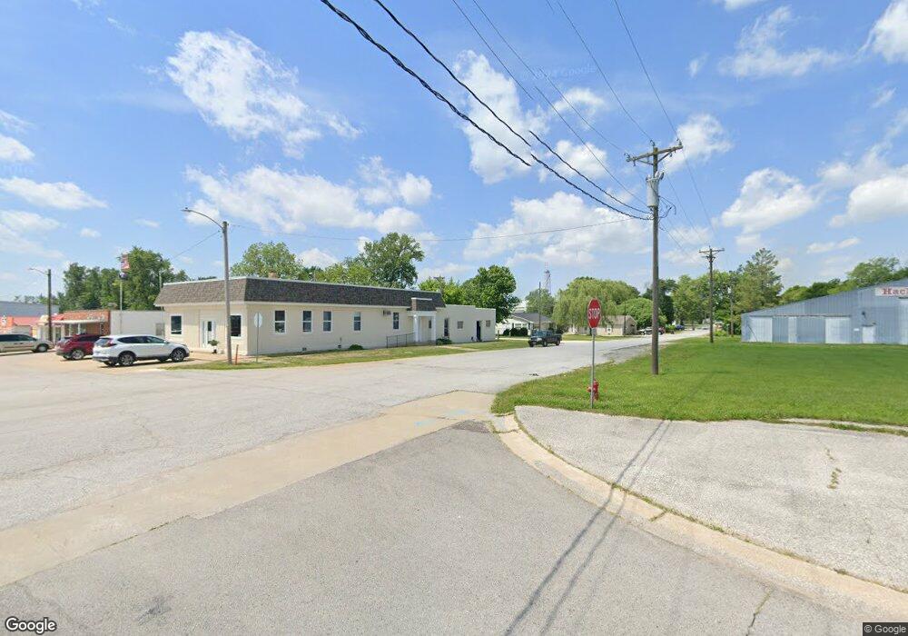
751 Highway D Hawk Point, MO 63349
Estimated Value: $315,000
4
Beds
2
Baths
1,658
Sq Ft
$190/Sq Ft
Est. Value
About This Home
This home is located at 751 Highway D, Hawk Point, MO 63349 and is currently estimated at $315,000, approximately $189 per square foot. 751 Highway D is a home located in Lincoln County with nearby schools including Hawk Point Elementary School, Troy Middle School, and Troy Buchanan High School.
Ownership History
Date
Name
Owned For
Owner Type
Purchase Details
Closed on
Dec 14, 2018
Sold by
Kahmke Donald R and Kahmke Lorena J
Bought by
Lyle Michael H and Lyle Katherine S
Current Estimated Value
Home Financials for this Owner
Home Financials are based on the most recent Mortgage that was taken out on this home.
Original Mortgage
$29,821
Outstanding Balance
$26,273
Interest Rate
4.8%
Mortgage Type
Commercial
Estimated Equity
$288,727
Purchase Details
Closed on
Oct 1, 2010
Sold by
Grillo Shirley O and Grillo Phillip
Bought by
Kahmke Donald R and Kahmke Lorena J
Home Financials for this Owner
Home Financials are based on the most recent Mortgage that was taken out on this home.
Original Mortgage
$95,000
Interest Rate
4.23%
Mortgage Type
Purchase Money Mortgage
Create a Home Valuation Report for This Property
The Home Valuation Report is an in-depth analysis detailing your home's value as well as a comparison with similar homes in the area
Purchase History
| Date | Buyer | Sale Price | Title Company |
|---|---|---|---|
| Lyle Michael H | -- | None Available | |
| Kahmke Donald R | -- | None Available |
Source: Public Records
Mortgage History
| Date | Status | Borrower | Loan Amount |
|---|---|---|---|
| Open | Lyle Michael H | $29,821 | |
| Previous Owner | Kahmke Donald R | $95,000 |
Source: Public Records
Tax History
| Year | Tax Paid | Tax Assessment Tax Assessment Total Assessment is a certain percentage of the fair market value that is determined by local assessors to be the total taxable value of land and additions on the property. | Land | Improvement |
|---|---|---|---|---|
| 2025 | $9 | $148 | $148 | $0 |
| 2024 | $9 | $148 | $148 | $0 |
| 2023 | $9 | $148 | $148 | $0 |
| 2022 | $9 | $148 | $148 | $0 |
| 2021 | $9 | $148 | $0 | $0 |
| 2020 | $9 | $148 | $0 | $0 |
| 2019 | $9 | $148 | $0 | $0 |
| 2018 | $919 | $15,040 | $0 | $0 |
| 2017 | $906 | $14,779 | $0 | $0 |
| 2016 | $806 | $12,891 | $0 | $0 |
| 2015 | $809 | $12,891 | $0 | $0 |
| 2014 | $818 | $13,021 | $0 | $0 |
| 2013 | -- | $13,021 | $0 | $0 |
Source: Public Records
Map
Nearby Homes
- 140 Turkey Creek Crossing Dr
- 4 Ashley Ln
- 415 Walnut St
- 0 Cedar Circle Ln Unit MIS25071955
- 339 White Rd
- 401 Deep Forest Dr
- 8 Summers Breeze Ct
- 346 Bethel Rd
- 804 Timber Creek Ct
- 64 Mocking Bird Ln
- 45 Blue Line Ln
- 2 Country Ridge Trail
- 113 Bridlespur Ct
- 21 Saratoga Springs Dr
- 345 Quarry Rd
- 300 Shumard Oak Dr
- 762 Cave Farm Rd
- 459 Westridge Dr
- 456 Westridge Dr
- 0 Westridge Dr
- 41 Grasshopper 25 Ac Rd
- 755 Highway D
- 719 Highway D
- 156 Grasshopper Ln
- 960 Turkey Creek Rd
- 695 Highway D
- 689 Highway D
- 0 Grasshopper Ln
- 757 Highway D
- 935 Turkey Creek Rd
- 965 Turkey Creek Rd
- 41.25 Ac Grasshopper Ln
- 171 Grasshopper Ln
- 975 Turkey Creek Rd
- 111 Grasshopper Ln
- 678 Highway D
- 0 Turkey Creek Bottom 16 Acres Unit 18034645
- 939 Turkey Creek Rd
- 995 Turkey Creek Rd
- 299 Turkey Creek Bottom Ln
Your Personal Tour Guide
Ask me questions while you tour the home.