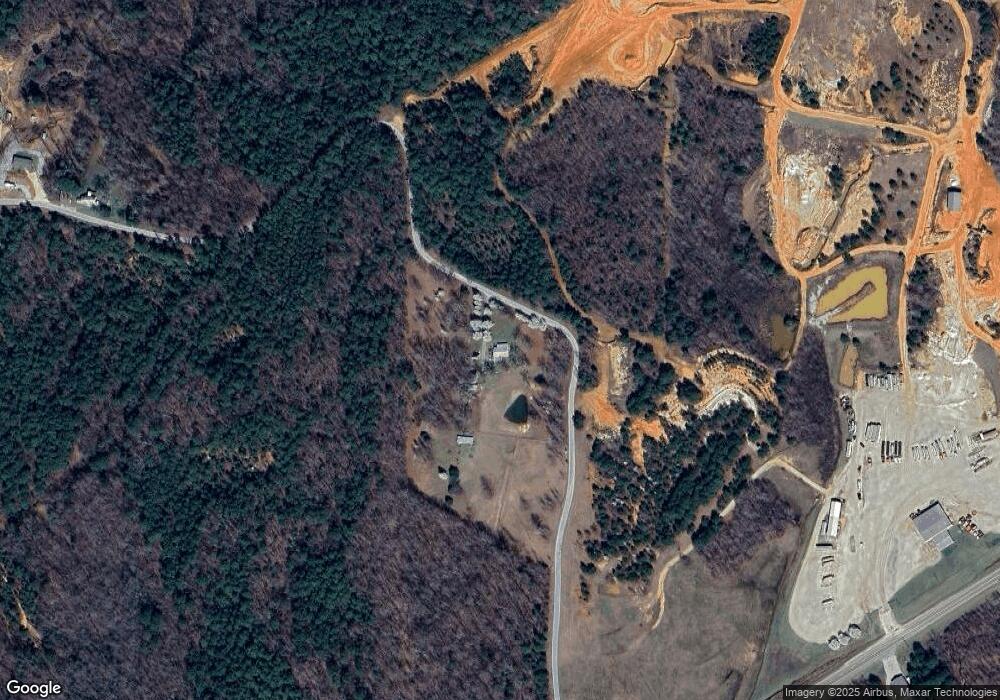
751 Sand Pit Loop Camden, TN 38320
Estimated Value: $132,000 - $231,000
2
Beds
1
Bath
1,040
Sq Ft
$174/Sq Ft
Est. Value
About This Home
This home is located at 751 Sand Pit Loop, Camden, TN 38320 and is currently estimated at $181,186, approximately $174 per square foot. 751 Sand Pit Loop is a home located in Benton County with nearby schools including Camden Elementary School, Briarwood School, and Camden Junior High School.
Ownership History
Date
Name
Owned For
Owner Type
Purchase Details
Closed on
Jan 6, 2015
Sold by
Scott Edgar W
Bought by
Koenig David Allan and Koenig Jenifer Lee
Current Estimated Value
Home Financials for this Owner
Home Financials are based on the most recent Mortgage that was taken out on this home.
Original Mortgage
$97,133
Interest Rate
4.01%
Mortgage Type
Cash
Purchase Details
Closed on
Sep 30, 2009
Sold by
Hardin Pamela Patterson
Bought by
Scott Edgar W
Home Financials for this Owner
Home Financials are based on the most recent Mortgage that was taken out on this home.
Original Mortgage
$112,800
Interest Rate
5.05%
Mortgage Type
Cash
Purchase Details
Closed on
Dec 21, 1995
Sold by
Patterson James
Bought by
Patterson James
Purchase Details
Closed on
Mar 1, 1995
Sold by
Allen Paul
Bought by
Vaughn William Barry
Create a Home Valuation Report for This Property
The Home Valuation Report is an in-depth analysis detailing your home's value as well as a comparison with similar homes in the area
Home Values in the Area
Average Home Value in this Area
Purchase History
| Date | Buyer | Sale Price | Title Company |
|---|---|---|---|
| Koenig David Allan | $120,000 | -- | |
| Scott Edgar W | $141,000 | -- | |
| Patterson James | $10,700 | -- | |
| Vaughn William Barry | $9,000 | -- |
Source: Public Records
Mortgage History
| Date | Status | Borrower | Loan Amount |
|---|---|---|---|
| Closed | Koenig David Allan | $97,133 | |
| Previous Owner | Vaughn William Barry | $112,800 |
Source: Public Records
Tax History Compared to Growth
Tax History
| Year | Tax Paid | Tax Assessment Tax Assessment Total Assessment is a certain percentage of the fair market value that is determined by local assessors to be the total taxable value of land and additions on the property. | Land | Improvement |
|---|---|---|---|---|
| 2024 | $649 | $23,800 | $5,350 | $18,450 |
| 2023 | $649 | $23,800 | $5,350 | $18,450 |
| 2022 | $649 | $23,800 | $5,350 | $18,450 |
| 2021 | $625 | $23,800 | $5,350 | $18,450 |
| 2020 | $625 | $22,900 | $4,450 | $18,450 |
| 2019 | $669 | $22,675 | $4,450 | $18,225 |
| 2018 | $669 | $22,675 | $4,450 | $18,225 |
| 2017 | $669 | $22,675 | $4,450 | $18,225 |
| 2016 | $669 | $22,675 | $4,450 | $18,225 |
| 2015 | $678 | $22,675 | $4,450 | $18,225 |
| 2014 | $678 | $22,675 | $4,450 | $18,225 |
| 2013 | $678 | $23,053 | $0 | $0 |
Source: Public Records
Map
Nearby Homes
- 217 Sunnyfield Ln
- 65 Sandy Point Rd
- 2642 Mount Carmel Rd
- 0 Firetower Rd
- 424 Firetower Rd
- 0 Sawyers Mill Rd
- 3150 Highway 70 W
- 1785 Old Bruceton Rd
- 106 Wyatt St N
- 571 Cheatham St
- 210 Lankford St
- 1600 Eden Farm Rd
- 126 Carroll St S
- 204 Lankford St
- 138 Carroll St S
- 148 Highland St
- 211 Little House Rd
- 114 Elm St
- 1905 Post Oak Rd
- 385 Crossroads Church Rd
- 0 Sand Pit Loop
- 5420 Highway 70 W
- 5540 Highway 70 W
- 320 Sand Pit Loop
- 5497 W 70
- 5590 U S 70
- 5525 Highway 70 W
- 5605 Highway 70 W
- 890 Stigall Rd
- 5675 Highway 70 W
- 5695 Highway 70 W
- 1165 Stigall Rd
- 5750 Highway 70 W
- 6000 Highway 70 W
- 765 Stigall Rd
- 680 Stigall Rd
- 65 Cole Rd
- 321 Carmel Ln
- 250 Loneoak Ln
- 317 Carmel Ln
