751 State Route 133 Felicity, OH 45120
Estimated Value: $341,000 - $474,281
3
Beds
2
Baths
2,048
Sq Ft
$189/Sq Ft
Est. Value
About This Home
This home is located at 751 State Route 133, Felicity, OH 45120 and is currently estimated at $387,570, approximately $189 per square foot. 751 State Route 133 is a home located in Clermont County with nearby schools including Felicity-Franklin Local Elementary School, Felicity-Franklin Local Middle School, and Felicity-Franklin Local High School.
Ownership History
Date
Name
Owned For
Owner Type
Purchase Details
Closed on
Nov 8, 2006
Sold by
Lee Betty and Lee Betty Jo
Bought by
Mcintyre Kevin and Mcintyre Heather
Current Estimated Value
Home Financials for this Owner
Home Financials are based on the most recent Mortgage that was taken out on this home.
Original Mortgage
$24,000
Outstanding Balance
$14,316
Interest Rate
6.36%
Mortgage Type
Purchase Money Mortgage
Estimated Equity
$373,254
Create a Home Valuation Report for This Property
The Home Valuation Report is an in-depth analysis detailing your home's value as well as a comparison with similar homes in the area
Home Values in the Area
Average Home Value in this Area
Purchase History
| Date | Buyer | Sale Price | Title Company |
|---|---|---|---|
| Mcintyre Kevin | $32,000 | Attorney |
Source: Public Records
Mortgage History
| Date | Status | Borrower | Loan Amount |
|---|---|---|---|
| Open | Mcintyre Kevin | $24,000 |
Source: Public Records
Tax History Compared to Growth
Tax History
| Year | Tax Paid | Tax Assessment Tax Assessment Total Assessment is a certain percentage of the fair market value that is determined by local assessors to be the total taxable value of land and additions on the property. | Land | Improvement |
|---|---|---|---|---|
| 2024 | $3,791 | $115,120 | $15,510 | $99,610 |
| 2023 | $3,820 | $115,120 | $15,510 | $99,610 |
| 2022 | $3,470 | $95,270 | $12,670 | $82,600 |
| 2021 | $3,474 | $95,270 | $12,670 | $82,600 |
| 2020 | $3,466 | $95,270 | $12,670 | $82,600 |
| 2019 | $3,685 | $96,640 | $15,050 | $81,590 |
| 2018 | $3,688 | $96,640 | $15,050 | $81,590 |
| 2017 | $3,163 | $96,640 | $15,050 | $81,590 |
| 2016 | $3,163 | $77,320 | $12,040 | $65,280 |
| 2015 | $2,968 | $78,130 | $12,850 | $65,280 |
| 2014 | $2,968 | $78,130 | $12,850 | $65,280 |
| 2013 | $2,957 | $73,510 | $13,550 | $59,960 |
Source: Public Records
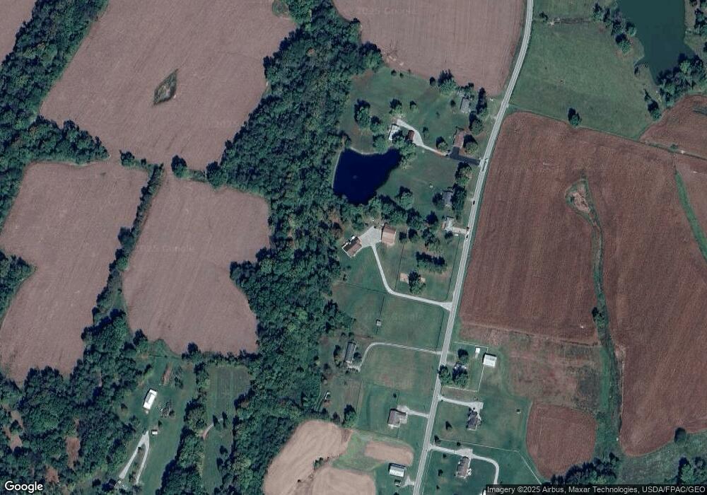
Map
Nearby Homes
- 1000 Triple Two Farm Rd
- 715 Walnut St
- Acres Hopewell Rd
- 3299 Ohio 756
- 0 Hopewell Rd Unit 1846098
- 4476 Harris Ln
- 527 State Route 222
- 523 Ohio 222
- 104 Country Way Ln
- 1109 Ohio 133
- 514 Felicity Cedron Rural Rd
- 403 Felicity Higginsport Rd
- 444 Felicity Cedron Rural Rd
- 0 Shinkles Ridge Rd Unit 5141737
- 3381 Ohio 774
- 1606 Lenroot Rd
- 5.08 Ac Bear Creek Rd
- 20 ac Goodwin Schoolhouse Point Isabel Rd
- ac Goodwin Schoolhouse Point Isabel Rd
- 1941 Bradford Rd
- 0 Mt Zion Rd Unit 1588953
- 0 Mt Zion Rd Unit 769990
- 0 Vine St Unit 1563411
- 2 Felicity Meadows Rd
- 1 Felicity Meadows Rd
- 0 Vine St Unit 1519978
- 0 Mt Zion Rd Unit 1765969
- 2235 St Rt 743
- 2962 St Rt 759
- _ Preston Rd
- 757 State Route 133
- 755 St Rt 133
- 759 State Route 133
- 761 State Route 133
- 747 State Route 133
- 771 State Route 133
- 2.898ac St Rt 774
- 2817 Us 52
- 0 Burns Rd Unit 1739354
- 746 Ohio 133