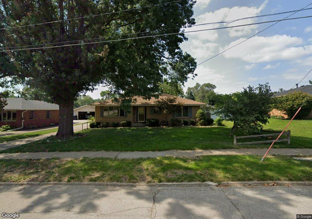
7511 Roseland Dr Urbandale, IA 50322
Estimated Value: $266,175 - $279,000
3
Beds
2
Baths
1,323
Sq Ft
$208/Sq Ft
Est. Value
About This Home
This home is located at 7511 Roseland Dr, Urbandale, IA 50322 and is currently estimated at $275,294, approximately $208 per square foot. 7511 Roseland Dr is a home located in Polk County with nearby schools including Karen Acres Elementary School, Valerius Elementary School, and Urbandale Middle School.
Ownership History
Date
Name
Owned For
Owner Type
Purchase Details
Closed on
Aug 31, 1999
Sold by
Thompson John D and Thompson Charlene A
Bought by
Schultz Alice A
Current Estimated Value
Home Financials for this Owner
Home Financials are based on the most recent Mortgage that was taken out on this home.
Original Mortgage
$50,000
Outstanding Balance
$14,301
Interest Rate
7.59%
Estimated Equity
$260,993
Create a Home Valuation Report for This Property
The Home Valuation Report is an in-depth analysis detailing your home's value as well as a comparison with similar homes in the area
Home Values in the Area
Average Home Value in this Area
Purchase History
| Date | Buyer | Sale Price | Title Company |
|---|---|---|---|
| Schultz Alice A | $111,000 | -- |
Source: Public Records
Mortgage History
| Date | Status | Borrower | Loan Amount |
|---|---|---|---|
| Open | Schultz Alice A | $50,000 |
Source: Public Records
Tax History Compared to Growth
Tax History
| Year | Tax Paid | Tax Assessment Tax Assessment Total Assessment is a certain percentage of the fair market value that is determined by local assessors to be the total taxable value of land and additions on the property. | Land | Improvement |
|---|---|---|---|---|
| 2025 | $4,062 | $266,200 | $62,400 | $203,800 |
| 2024 | $4,062 | $241,700 | $55,800 | $185,900 |
| 2023 | $4,138 | $241,700 | $55,800 | $185,900 |
| 2022 | $4,088 | $201,700 | $48,100 | $153,600 |
| 2021 | $3,984 | $201,700 | $48,100 | $153,600 |
| 2020 | $3,912 | $186,900 | $44,600 | $142,300 |
| 2019 | $3,690 | $186,900 | $44,600 | $142,300 |
| 2018 | $3,552 | $169,000 | $39,400 | $129,600 |
| 2017 | $3,262 | $169,000 | $39,400 | $129,600 |
| 2016 | $3,178 | $153,200 | $35,400 | $117,800 |
| 2015 | $3,178 | $153,200 | $35,400 | $117,800 |
| 2014 | $3,030 | $151,000 | $34,200 | $116,800 |
Source: Public Records
Map
Nearby Homes
- 7201 Maple Dr
- 7204 Douglas Ave
- 3808 72nd St
- 7051 Oak Brook Dr
- 3907 73rd St
- 3924 80th St
- 8073 Cobblestone Rd
- 2548 Pine Cir
- 7901 Airline Ave
- 7708 Ridgemont Dr
- 8037 Cobblestone Ct
- 8005 Airline Ave
- 3206 68th St
- 8024 Cobblestone Rd
- 8008 Cobblestone Rd
- 7100 Holcomb Ave
- 3233 68th St
- 2405 81st Cir
- 3611 68th St
- 6717 Roseland Dr
- 7515 Roseland Dr
- 7507 Roseland Dr
- 3400 Elm Dr
- 7601 Roseland Dr
- 3229 Ashwood Dr
- 3301 Ashwood Dr
- 7509 Palm Dr
- 7509 Palm Dr
- 3404 Elm Dr
- 3225 Ashwood Dr
- 7605 Roseland Dr
- 7503 Roseland Dr
- 7602 Roseland Dr
- 7505 Palm Dr
- 7502 Roseland Dr
- 3408 Elm Dr
- 3307 Ashwood Dr
- 7606 Roseland Dr
- 7422 Roseland Dr
- 7501 Palm Dr