752 Old Homestead Hwy Richmond, NH 03470
Estimated Value: $356,000 - $471,000
2
Beds
2
Baths
1,232
Sq Ft
$342/Sq Ft
Est. Value
About This Home
This home is located at 752 Old Homestead Hwy, Richmond, NH 03470 and is currently estimated at $421,876, approximately $342 per square foot. 752 Old Homestead Hwy is a home located in Cheshire County with nearby schools including Mt. Caesar Elementary School, Cutler School, and Monadnock Regional High School.
Ownership History
Date
Name
Owned For
Owner Type
Purchase Details
Closed on
Feb 3, 2011
Sold by
Dunn Thomas W and Dunn June H
Bought by
Pixos Armando E and Pixos Helia M
Current Estimated Value
Home Financials for this Owner
Home Financials are based on the most recent Mortgage that was taken out on this home.
Original Mortgage
$108,000
Outstanding Balance
$74,042
Interest Rate
4.82%
Mortgage Type
Purchase Money Mortgage
Estimated Equity
$347,834
Create a Home Valuation Report for This Property
The Home Valuation Report is an in-depth analysis detailing your home's value as well as a comparison with similar homes in the area
Home Values in the Area
Average Home Value in this Area
Purchase History
| Date | Buyer | Sale Price | Title Company |
|---|---|---|---|
| Pixos Armando E | $140,000 | -- |
Source: Public Records
Mortgage History
| Date | Status | Borrower | Loan Amount |
|---|---|---|---|
| Open | Pixos Armando E | $108,000 | |
| Previous Owner | Pixos Armando E | $25,000 |
Source: Public Records
Tax History Compared to Growth
Tax History
| Year | Tax Paid | Tax Assessment Tax Assessment Total Assessment is a certain percentage of the fair market value that is determined by local assessors to be the total taxable value of land and additions on the property. | Land | Improvement |
|---|---|---|---|---|
| 2024 | $5,295 | $296,500 | $72,200 | $224,300 |
| 2023 | $4,356 | $296,500 | $72,200 | $224,300 |
| 2021 | $4,451 | $189,800 | $43,700 | $146,100 |
| 2020 | $4,500 | $189,800 | $43,700 | $146,100 |
| 2019 | $55 | $189,800 | $43,700 | $146,100 |
| 2018 | $5,255 | $189,800 | $43,700 | $146,100 |
| 2017 | $4,868 | $189,800 | $43,700 | $146,100 |
| 2016 | $4,868 | $172,700 | $44,000 | $128,700 |
| 2015 | $4,820 | $170,000 | $44,000 | $126,000 |
| 2014 | $4,196 | $161,700 | $44,000 | $117,700 |
| 2013 | $4,073 | $155,700 | $44,000 | $111,700 |
Source: Public Records
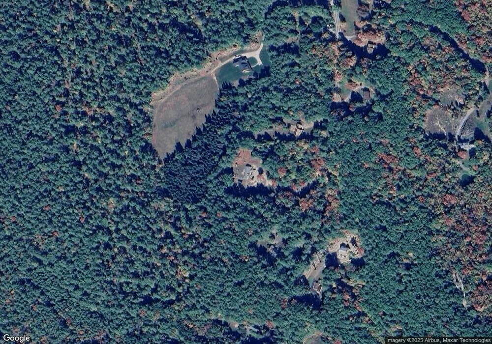
Map
Nearby Homes
- 4 Winch Hill Rd
- 148 Old Richmond Rd
- 0 Attleboro Mountain Rd Unit 5040264
- 0 Winch Hill Rd Unit 5022598
- 39 Bullock Rd
- 0 Old Hinsdale Rd Unit 1 5052965
- 78 Mackey Rd
- 77 Mackey Rd
- 0 Monument Rd Unit 5055384
- 43 Carlotta Rd
- 196 Whitcomb Rd
- 33 S Main St Unit 18-0250
- 24 Sawyers Crossing Rd
- 49 Forest Lake Cir
- 45 Forest Lake Cir
- 244 N Main St
- 000 Dwinell Rd Unit 534502
- 20 Anthony Cir Unit 20
- 27 Headlands Rd
- 7 Woodland Park
- 760 Old Homestead Hwy
- 738 Old Homestead Hwy
- 788 Old Homestead Hwy
- 727 Old Homestead Hwy
- 763 Old Homestead Hwy
- 710 Old Homestead Hwy
- 782 Old Homestead Hwy
- 779 Old Homestead Hwy
- 800 Old Homestead Hwy
- 4 Birch Brook Crossing
- 35 Birch Brook Crossing
- 783 Old Homestead Hwy
- 804 Old Homestead Hwy
- 709 Old Homestead Hwy
- 680 Old Homestead Hwy
- 818 Old Homestead Hwy
- 686 Old Homestead Hwy
- 685 Old Homestead Hwy
- 823 Old Homestead Hwy
- 729 Old Homestead Hwy