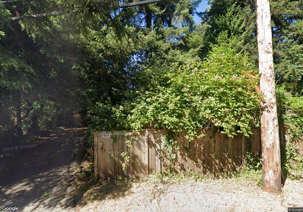
7526 Simonds Rd NE Kenmore, WA 98028
Moorlands NeighborhoodEstimated Value: $856,000 - $1,041,000
2
Beds
2
Baths
1,370
Sq Ft
$699/Sq Ft
Est. Value
About This Home
This home is located at 7526 Simonds Rd NE, Kenmore, WA 98028 and is currently estimated at $957,508, approximately $698 per square foot. 7526 Simonds Rd NE is a home located in King County with nearby schools including Arrowhead Elementary School, Northshore Junior High School, and Inglemoor High School.
Ownership History
Date
Name
Owned For
Owner Type
Purchase Details
Closed on
Dec 13, 1994
Sold by
Balfive Lakemont Ltd Partnership
Bought by
Bhh Inc
Current Estimated Value
Home Financials for this Owner
Home Financials are based on the most recent Mortgage that was taken out on this home.
Original Mortgage
$280,850
Interest Rate
9.1%
Purchase Details
Closed on
Sep 13, 1994
Sold by
Olson Kathleen A and Mcintire Stephen A
Bought by
Olson Kathleen A
Purchase Details
Closed on
Sep 20, 1993
Sold by
Mcintire Julie
Bought by
Mcintire Stephen A
Create a Home Valuation Report for This Property
The Home Valuation Report is an in-depth analysis detailing your home's value as well as a comparison with similar homes in the area
Home Values in the Area
Average Home Value in this Area
Purchase History
| Date | Buyer | Sale Price | Title Company |
|---|---|---|---|
| Bhh Inc | $106,000 | Transamerica Title Ins Co | |
| Olson Kathleen A | -- | -- | |
| Mcintire Stephen A | -- | -- |
Source: Public Records
Mortgage History
| Date | Status | Borrower | Loan Amount |
|---|---|---|---|
| Closed | Bhh Inc | $280,850 |
Source: Public Records
Tax History Compared to Growth
Tax History
| Year | Tax Paid | Tax Assessment Tax Assessment Total Assessment is a certain percentage of the fair market value that is determined by local assessors to be the total taxable value of land and additions on the property. | Land | Improvement |
|---|---|---|---|---|
| 2024 | $6,142 | $868,000 | $712,000 | $156,000 |
| 2023 | $6,098 | $744,000 | $581,000 | $163,000 |
| 2022 | $5,857 | $932,000 | $692,000 | $240,000 |
| 2021 | $5,795 | $716,000 | $503,000 | $213,000 |
| 2020 | $5,795 | $467,200 | $279,200 | $188,000 |
| 2018 | $4,308 | $377,800 | $376,800 | $1,000 |
| 2017 | $4,041 | $546,000 | $545,000 | $1,000 |
| 2016 | $3,869 | $516,000 | $515,000 | $1,000 |
| 2015 | $3,900 | $490,000 | $489,000 | $1,000 |
| 2014 | -- | $445,000 | $444,000 | $1,000 |
| 2013 | -- | $377,000 | $376,000 | $1,000 |
Source: Public Records
Map
Nearby Homes
- 7634 NE 170th St
- 7245 NE 170th St
- 7711 NE 170th St
- 16743 79th Place NE
- 7301 NE 175th St Unit 335
- 7301 NE 175th St
- 7301 NE 175th St Unit 137
- 7301 NE 175th St Unit 114
- 7301 NE 175th St Unit 215
- 7301 NE 175th St Unit 209
- 7711 NE 175th St Unit F307
- 7711 NE 175th St Unit C106
- 16422 76th Ave NE
- 7217 NE 175th St Unit 211
- 8 Plan at Burke 38
- 7 Plan at Burke 38
- 6 Plan at Burke 38
- 5 Plan at Burke 38
- 4 Plan at Burke 38
- 3 Plan at Burke 38
- 7514 Simonds Rd NE
- 7604 Simonds Rd NE
- 7604 NE 170th St
- 7535 NE 170th St
- 7506 Simonds Rd NE
- 7509 Simonds Rd NE
- 7622 Simonds Rd NE
- 7622 NE 170th St
- 7518 NE 169th St
- 14834 75th Ave NE
- 20101 75th Ave NE
- 7532 NE 169th St
- 7606 NE 169th Ln
- 16908 75th Ave NE
- 7610 NE 169th Ln
- 7506 NE 169th St
- 7614 NE 169th St
- 7634 Simonds Rd NE
- 7417 170th Ave NE
- 7621 Simonds Rd NE
