Estimated Value: $2,810,000
--
Bed
--
Bath
14,336
Sq Ft
$196/Sq Ft
Est. Value
About This Home
This home is located at 753 Brooke Rd, Wayne, PA 19087 and is currently priced at $2,810,000, approximately $196 per square foot. 753 Brooke Rd is a home located in Delaware County with nearby schools including Wayne Elementary School, Radnor Middle School, and Radnor Senior High School.
Ownership History
Date
Name
Owned For
Owner Type
Purchase Details
Closed on
Jul 2, 2025
Sold by
Chanticleer Charitable Trust and Rosengarten Adolph G
Bought by
Chanticleer Charitable Trust and Thomas
Current Estimated Value
Purchase Details
Closed on
Jul 19, 1991
Sold by
Rosengarten Jr Rosengarten A and Rosengarten Janet
Bought by
Neilson Benjamin Etal Trustees
Create a Home Valuation Report for This Property
The Home Valuation Report is an in-depth analysis detailing your home's value as well as a comparison with similar homes in the area
Home Values in the Area
Average Home Value in this Area
Purchase History
| Date | Buyer | Sale Price | Title Company |
|---|---|---|---|
| Chanticleer Charitable Trust | -- | None Listed On Document | |
| Chanticleer Charitable Trust | -- | None Listed On Document | |
| Neilson Benjamin Etal Trustees | -- | -- |
Source: Public Records
Tax History Compared to Growth
Tax History
| Year | Tax Paid | Tax Assessment Tax Assessment Total Assessment is a certain percentage of the fair market value that is determined by local assessors to be the total taxable value of land and additions on the property. | Land | Improvement |
|---|---|---|---|---|
| 2025 | $63,675 | $3,149,350 | $1,482,810 | $1,666,540 |
| 2024 | $63,675 | $3,149,350 | $1,482,810 | $1,666,540 |
| 2023 | $60,484 | $3,149,350 | $1,482,810 | $1,666,540 |
| 2022 | $60,484 | $3,149,350 | $1,482,810 | $1,666,540 |
| 2021 | $97,153 | $3,149,350 | $1,482,810 | $1,666,540 |
| 2020 | $77,353 | $2,333,670 | $1,414,730 | $918,940 |
| 2019 | $78,892 | $2,333,670 | $1,414,730 | $918,940 |
| 2018 | $77,353 | $2,333,670 | $0 | $0 |
| 2017 | $0 | $2,333,670 | $0 | $0 |
| 2016 | $0 | $2,333,670 | $0 | $0 |
| 2015 | -- | $2,333,670 | $0 | $0 |
| 2014 | -- | $2,333,670 | $0 | $0 |
Source: Public Records
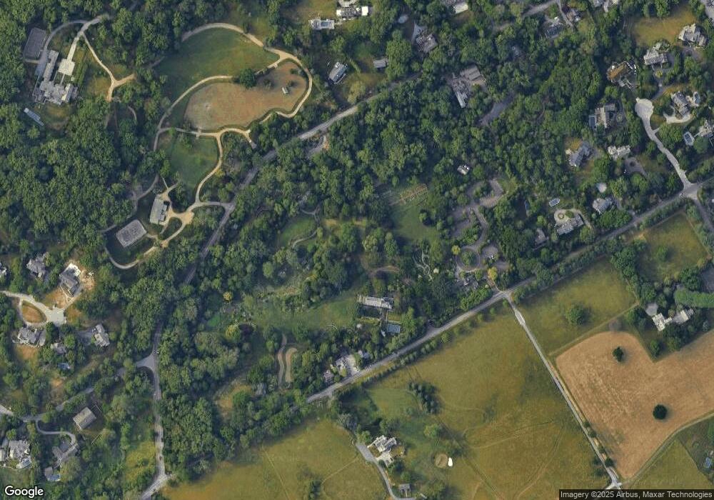
Map
Nearby Homes
- 188 Abrahams Ln
- 328 Conestoga Rd
- 203 Church St
- 238 Highland Ave
- 412 Fairview Dr
- 0 Greenwell Ln
- 232 Conestoga Rd
- 24 Orchard Ln
- 5 Greythorne Woods Cir Unit 5
- 188 Conestoga Rd
- 1 Dunminning Rd
- 353 Oak Terrace
- 123 Conestoga Rd
- 207 Willow Ave
- 201 Church Rd
- 3314 Saint Davids Rd
- 120 Eaton Dr
- 205 N Aberdeen Ave
- 120 S Devon Ave
- 500 E Lancaster Ave Unit 126A