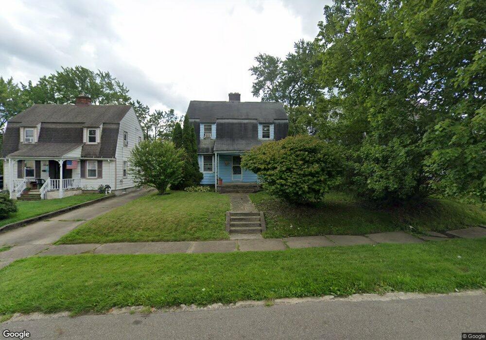
753 Devine St Alliance, OH 44601
Estimated Value: $86,686 - $114,000
3
Beds
1
Bath
1,080
Sq Ft
$93/Sq Ft
Est. Value
About This Home
This home is located at 753 Devine St, Alliance, OH 44601 and is currently estimated at $100,672, approximately $93 per square foot. 753 Devine St is a home located in Stark County with nearby schools including Alliance Elementary School at Rockhill, Alliance Intermediate School at Northside, and Alliance Middle School.
Ownership History
Date
Name
Owned For
Owner Type
Purchase Details
Closed on
Mar 31, 1998
Sold by
Gologram Harry L
Bought by
Rigdon John M
Current Estimated Value
Home Financials for this Owner
Home Financials are based on the most recent Mortgage that was taken out on this home.
Original Mortgage
$63,850
Outstanding Balance
$12,174
Interest Rate
7.15%
Mortgage Type
FHA
Estimated Equity
$88,498
Purchase Details
Closed on
Jul 23, 1990
Create a Home Valuation Report for This Property
The Home Valuation Report is an in-depth analysis detailing your home's value as well as a comparison with similar homes in the area
Home Values in the Area
Average Home Value in this Area
Purchase History
| Date | Buyer | Sale Price | Title Company |
|---|---|---|---|
| Rigdon John M | $63,500 | -- | |
| -- | $34,000 | -- |
Source: Public Records
Mortgage History
| Date | Status | Borrower | Loan Amount |
|---|---|---|---|
| Open | Rigdon John M | $63,850 |
Source: Public Records
Tax History
| Year | Tax Paid | Tax Assessment Tax Assessment Total Assessment is a certain percentage of the fair market value that is determined by local assessors to be the total taxable value of land and additions on the property. | Land | Improvement |
|---|---|---|---|---|
| 2025 | -- | $18,590 | $4,940 | $13,650 |
| 2024 | -- | $18,590 | $4,940 | $13,650 |
| 2023 | $597 | $14,850 | $4,730 | $10,120 |
| 2022 | $601 | $14,850 | $4,730 | $10,120 |
| 2021 | $601 | $14,850 | $4,730 | $10,120 |
| 2020 | $521 | $12,010 | $4,100 | $7,910 |
| 2019 | $513 | $12,020 | $4,100 | $7,920 |
Source: Public Records
Map
Nearby Homes
- 1608 S Liberty Ave
- 834 Devine St
- 390 E College St
- 1805 S Linden Ave
- 233 Shadyside Ct
- 1010 S Liberty Ave
- 224 Shadyside Ct
- 935 S Morgan Ave
- 2041 Watson Ave
- 167 11th St
- 226 Milner St
- 2351 S Freedom Ave
- 134 11th St
- 234 Rosenberry St
- 2408 S Linden Ave
- 955 E Summit St
- 452 E Summit St
- 726 S Arch Ave
- 46 Rosenberry St
- 853 Fairway Dr