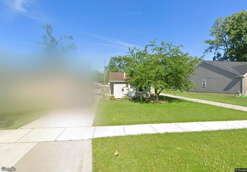
7537 Gilman St Unit Bldg-Unit Westland, MI 48185
Estimated Value: $135,000 - $168,681
--
Bed
1
Bath
742
Sq Ft
$214/Sq Ft
Est. Value
About This Home
This home is located at 7537 Gilman St Unit Bldg-Unit, Westland, MI 48185 and is currently estimated at $158,670, approximately $213 per square foot. 7537 Gilman St Unit Bldg-Unit is a home located in Wayne County with nearby schools including Cleveland Elementary School, Cooper Upper Elementary School, and Emerson Middle School.
Ownership History
Date
Name
Owned For
Owner Type
Purchase Details
Closed on
Jan 19, 2022
Sold by
Parker Ryan M
Bought by
Balmus Emanuel
Current Estimated Value
Purchase Details
Closed on
Feb 20, 2018
Sold by
Laity Chad A and Laity Lynn M
Bought by
Parker Ryan M
Purchase Details
Closed on
Sep 4, 2003
Sold by
Laity Chad A and Laity Lynn M
Bought by
Laity Chad A
Purchase Details
Closed on
Jun 19, 2000
Sold by
Mulligan Gloria D
Bought by
Kristy Laity
Create a Home Valuation Report for This Property
The Home Valuation Report is an in-depth analysis detailing your home's value as well as a comparison with similar homes in the area
Home Values in the Area
Average Home Value in this Area
Purchase History
| Date | Buyer | Sale Price | Title Company |
|---|---|---|---|
| Balmus Emanuel | $129,900 | None Listed On Document | |
| Parker Ryan M | $96,000 | None Available | |
| Laity Chad A | -- | Concord Title | |
| Kristy Laity | $40,000 | -- |
Source: Public Records
Tax History Compared to Growth
Tax History
| Year | Tax Paid | Tax Assessment Tax Assessment Total Assessment is a certain percentage of the fair market value that is determined by local assessors to be the total taxable value of land and additions on the property. | Land | Improvement |
|---|---|---|---|---|
| 2025 | $3,120 | $85,100 | $0 | $0 |
| 2024 | $3,120 | $81,600 | $0 | $0 |
| 2023 | $2,980 | $72,600 | $0 | $0 |
| 2022 | $2,592 | $62,900 | $0 | $0 |
| 2021 | $2,527 | $57,600 | $0 | $0 |
| 2020 | $2,501 | $50,900 | $0 | $0 |
| 2019 | $2,452 | $51,400 | $0 | $0 |
| 2018 | $1,552 | $44,600 | $0 | $0 |
| 2017 | $1,290 | $44,400 | $0 | $0 |
| 2016 | $2,501 | $44,600 | $0 | $0 |
| 2015 | $3,730 | $42,810 | $0 | $0 |
| 2013 | $3,613 | $37,380 | $0 | $0 |
| 2012 | $2,352 | $37,260 | $0 | $0 |
Source: Public Records
Map
Nearby Homes
- 7401 Floral St
- 7304 Gilman St
- 7367 Cavell St
- 7606 Cavell St
- 28526 Rush St
- 7048 Deering St
- 7029 Belton St
- 7641 N Inkster Rd
- 7350 N Inkster Rd
- 7350 N Inkster Rd Unit 17
- 28627 Bridge St
- 28730 Bridge St
- 6690 Deering St
- 29256 Brody Ave
- 27753 Trailbrooke Cir
- 28912 Cambridge St
- 27517 Windsor St
- 29102 Manchester St
- 29047 Manchester St Unit 83
- 29248 Manchester St
- 7537 Gilman St
- 7533 Gilman Ave
- 7529 Gilman St
- 7533 Gilman St
- 7521 Gilman St
- 7571 Gilman St
- 7570 Lathers St
- 7556 Lathers St
- 7542 Lathers St
- 7505 Gilman St
- 7584 Lathers St
- 7583 Gilman St
- 7514 Lathers St
- 7598 Lathers St
- 7500 Lathers St
- 7591 Gilman St
- 7544 Gilman St
- 7612 Lathers St
- 7560 Gilman St
- 7506 Gilman St