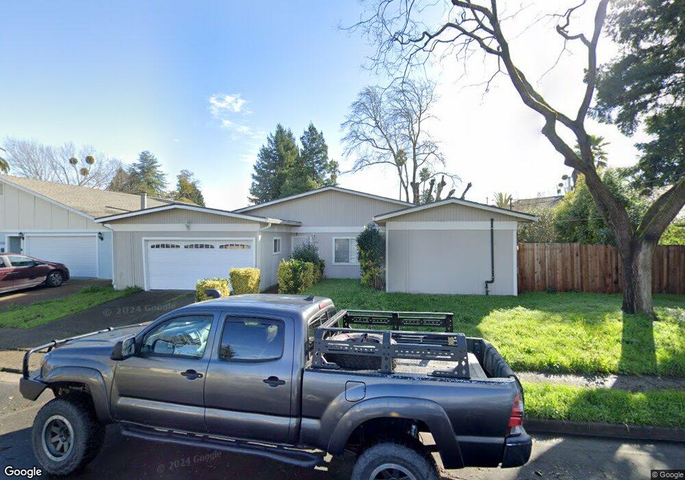
7539 Blair Ave Rohnert Park, CA 94928
Estimated Value: $643,437 - $680,000
3
Beds
2
Baths
1,436
Sq Ft
$460/Sq Ft
Est. Value
About This Home
This home is located at 7539 Blair Ave, Rohnert Park, CA 94928 and is currently estimated at $661,109, approximately $460 per square foot. 7539 Blair Ave is a home located in Sonoma County with nearby schools including Rancho Cotate High School, Cross & Crown Lutheran School, and Bridghaven.
Ownership History
Date
Name
Owned For
Owner Type
Purchase Details
Closed on
May 8, 2018
Sold by
Burnash Denise G
Bought by
Burnash Denise G and Burnash Matthew J
Current Estimated Value
Purchase Details
Closed on
Jun 27, 1996
Sold by
Bradford Sandra Y
Bought by
Burnash Denise G
Home Financials for this Owner
Home Financials are based on the most recent Mortgage that was taken out on this home.
Original Mortgage
$130,150
Outstanding Balance
$9,234
Interest Rate
8.03%
Estimated Equity
$651,875
Purchase Details
Closed on
Feb 17, 1994
Sold by
Wise Donald A and Bradford Sandra Y
Bought by
Bradford Sandra Y
Home Financials for this Owner
Home Financials are based on the most recent Mortgage that was taken out on this home.
Original Mortgage
$40,000
Interest Rate
6.98%
Create a Home Valuation Report for This Property
The Home Valuation Report is an in-depth analysis detailing your home's value as well as a comparison with similar homes in the area
Home Values in the Area
Average Home Value in this Area
Purchase History
| Date | Buyer | Sale Price | Title Company |
|---|---|---|---|
| Burnash Denise G | -- | None Available | |
| Burnash Denise G | $137,000 | Chicago Title Co | |
| Bradford Sandra Y | -- | Fidelity National Title Ins |
Source: Public Records
Mortgage History
| Date | Status | Borrower | Loan Amount |
|---|---|---|---|
| Open | Burnash Denise G | $130,150 | |
| Previous Owner | Bradford Sandra Y | $40,000 |
Source: Public Records
Tax History Compared to Growth
Tax History
| Year | Tax Paid | Tax Assessment Tax Assessment Total Assessment is a certain percentage of the fair market value that is determined by local assessors to be the total taxable value of land and additions on the property. | Land | Improvement |
|---|---|---|---|---|
| 2025 | $2,558 | $223,433 | $122,320 | $101,113 |
| 2024 | $2,558 | $219,053 | $119,922 | $99,131 |
| 2023 | $2,558 | $214,759 | $117,571 | $97,188 |
| 2022 | $2,505 | $210,549 | $115,266 | $95,283 |
| 2021 | $2,483 | $206,421 | $113,006 | $93,415 |
| 2020 | $2,517 | $204,306 | $111,848 | $92,458 |
| 2019 | $2,484 | $200,301 | $109,655 | $90,646 |
| 2018 | $2,435 | $196,374 | $107,505 | $88,869 |
| 2017 | $2,393 | $192,525 | $105,398 | $87,127 |
| 2016 | $2,289 | $188,751 | $103,332 | $85,419 |
| 2015 | $2,233 | $185,916 | $101,780 | $84,136 |
| 2014 | $2,216 | $182,275 | $99,787 | $82,488 |
Source: Public Records
Map
Nearby Homes
- 368 Bonnie Ct
- 359 Bonnie Ave
- 7449 Adrian Dr
- 8034 Adrian Dr
- 8175 Arthur St
- 293 Lincoln Ave
- 461 Lincoln Ave
- 7530 Bernice Ave
- 101 Pinewood Ct
- 219 College View Dr
- 8020 Beverly Dr
- 8440 Lasalle Ave
- 746 Bernadette Ave
- 105 Nicholas Ct
- 8140 Sunflower Dr
- 11 Ramble Creek Dr
- 8484 Lancaster Dr
- 8184 Sunflower Dr
- 218 W Cotati Ave
- 121 Forno Way