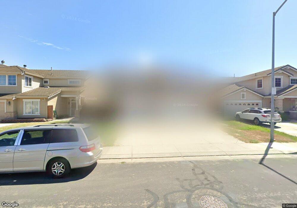
754 Boulder Ave Lathrop, CA 95330
East Lathrop NeighborhoodEstimated Value: $379,000 - $645,000
4
Beds
3
Baths
2,579
Sq Ft
$215/Sq Ft
Est. Value
About This Home
This home is located at 754 Boulder Ave, Lathrop, CA 95330 and is currently estimated at $553,878, approximately $214 per square foot. 754 Boulder Ave is a home located in San Joaquin County with nearby schools including Joseph Widmer, Jr. Elementary School, Lathrop High School, and BE.TECH Charter High School.
Ownership History
Date
Name
Owned For
Owner Type
Purchase Details
Closed on
Mar 19, 2009
Sold by
Dunn Aranas Linda Grace
Bought by
Aranas Randy E
Current Estimated Value
Home Financials for this Owner
Home Financials are based on the most recent Mortgage that was taken out on this home.
Original Mortgage
$181,649
Outstanding Balance
$115,627
Interest Rate
5.15%
Mortgage Type
FHA
Estimated Equity
$438,251
Purchase Details
Closed on
Mar 3, 2009
Sold by
Gmac Mortgage Llc
Bought by
Aranas Randy E
Home Financials for this Owner
Home Financials are based on the most recent Mortgage that was taken out on this home.
Original Mortgage
$181,649
Outstanding Balance
$115,627
Interest Rate
5.15%
Mortgage Type
FHA
Estimated Equity
$438,251
Purchase Details
Closed on
Dec 26, 2007
Sold by
Martinez Maricela
Bought by
Gmac Mortgage Llc and Gmac Mortgage Corp
Purchase Details
Closed on
Nov 17, 2006
Sold by
Martinez Maricela
Bought by
Martinez Maricela and Guzman Jose L
Purchase Details
Closed on
Jul 28, 2005
Sold by
Guzman Jose Luis and Martinez Maricela
Bought by
Martinez Maricela
Home Financials for this Owner
Home Financials are based on the most recent Mortgage that was taken out on this home.
Original Mortgage
$433,500
Interest Rate
6.95%
Mortgage Type
Purchase Money Mortgage
Purchase Details
Closed on
Mar 19, 2004
Sold by
Pena John M and Pena Carmen D
Bought by
Martinez Maricela
Home Financials for this Owner
Home Financials are based on the most recent Mortgage that was taken out on this home.
Original Mortgage
$296,000
Interest Rate
6.64%
Mortgage Type
Purchase Money Mortgage
Purchase Details
Closed on
Oct 16, 2000
Sold by
William Lyon Homes Inc
Bought by
Pena John M and Pena Carmen D
Home Financials for this Owner
Home Financials are based on the most recent Mortgage that was taken out on this home.
Original Mortgage
$128,400
Interest Rate
8.7%
Create a Home Valuation Report for This Property
The Home Valuation Report is an in-depth analysis detailing your home's value as well as a comparison with similar homes in the area
Home Values in the Area
Average Home Value in this Area
Purchase History
| Date | Buyer | Sale Price | Title Company |
|---|---|---|---|
| Aranas Randy E | -- | First American Title Company | |
| Aranas Randy E | $185,000 | First American Title Company | |
| Gmac Mortgage Llc | $391,500 | First Amer Title Co | |
| Martinez Maricela | -- | None Available | |
| Martinez Maricela | -- | Commonwealth Title Co | |
| Martinez Maricela | $376,000 | Alliance Title Co | |
| Pena John M | -- | Alliance Title Co | |
| Pena John M | $225,500 | First American Title Co |
Source: Public Records
Mortgage History
| Date | Status | Borrower | Loan Amount |
|---|---|---|---|
| Open | Aranas Randy E | $181,649 | |
| Previous Owner | Martinez Maricela | $433,500 | |
| Previous Owner | Martinez Maricela | $296,000 | |
| Previous Owner | Pena John M | $128,400 | |
| Closed | Martinez Maricela | $74,000 |
Source: Public Records
Tax History
| Year | Tax Paid | Tax Assessment Tax Assessment Total Assessment is a certain percentage of the fair market value that is determined by local assessors to be the total taxable value of land and additions on the property. | Land | Improvement |
|---|---|---|---|---|
| 2025 | $4,536 | $238,221 | $59,232 | $178,989 |
| 2024 | $4,400 | $233,551 | $58,071 | $175,480 |
| 2023 | $4,231 | $228,973 | $56,933 | $172,040 |
| 2022 | $4,122 | $224,484 | $55,817 | $168,667 |
| 2021 | $4,019 | $220,083 | $54,723 | $165,360 |
| 2020 | $3,864 | $217,827 | $54,162 | $163,665 |
| 2019 | $3,794 | $213,556 | $53,100 | $160,456 |
| 2018 | $3,711 | $209,369 | $52,059 | $157,310 |
| 2017 | $3,678 | $205,265 | $51,039 | $154,226 |
| 2016 | $3,622 | $201,241 | $50,038 | $151,203 |
| 2014 | $3,466 | $194,339 | $48,322 | $146,017 |
Source: Public Records
Map
Nearby Homes
- 795 Saint Andrew St
- 14061 Jasper St
- 827 Saint Andrew St
- 174 Castlewood Ave
- 774 Sugar Pine Dr
- 14310 Cedar Valley Dr
- 960 Kirkwood Way
- 13410 Brookwood Way
- 14129 Reverend Maurice Cotton Dr
- 808 Prairie Dunes Dr
- 272 Olivine Ave
- 14224 S Harlan Rd
- 292 W Lathrop Rd
- 15150 Hollyhock Ct
- 15810 Mckinley Ave
- 15940 Warfield Rd
- 15820 S Harlan Rd Unit 16
- 15820 S Harlan Rd Unit 98
- 15820 S Harlan Rd Unit 143
- 16012 Julie Ln
- 748 Boulder Ave
- 760 Boulder Ave
- 742 Boulder Ave
- 766 Boulder Ave
- 753 Limestone Ave
- 759 Limestone Ave
- 747 Limestone Ave
- 765 Limestone Ave
- 741 Limestone Ave
- 736 Boulder Ave
- 772 Boulder Ave
- 759 Boulder Ave
- 747 Boulder Ave
- 771 Limestone Ave
- 765 Boulder Ave
- 741 Boulder Ave
- 13620 Flagstone St
- 730 Boulder Ave
- 13630 Flagstone St
- 771 Boulder Ave
Your Personal Tour Guide
Ask me questions while you tour the home.