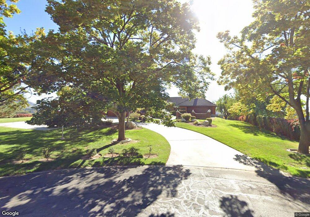
754 Osmond Ln Provo, UT 84604
Rock Canyon NeighborhoodEstimated Value: $1,598,000 - $2,892,000
10
Beds
8
Baths
14,345
Sq Ft
$162/Sq Ft
Est. Value
About This Home
This home is located at 754 Osmond Ln, Provo, UT 84604 and is currently estimated at $2,318,272, approximately $161 per square foot. 754 Osmond Ln is a home located in Utah County with nearby schools including Canyon Crest Elementary School, Centennial Middle School, and Timpview High School.
Ownership History
Date
Name
Owned For
Owner Type
Purchase Details
Closed on
Apr 15, 2002
Sold by
Washington Mutual Bank Fsb
Bought by
Quesenberry Jami H
Current Estimated Value
Home Financials for this Owner
Home Financials are based on the most recent Mortgage that was taken out on this home.
Original Mortgage
$828,652
Interest Rate
6.78%
Purchase Details
Closed on
Oct 17, 2001
Sold by
Willardson Donald J and Willardson Betty Jean
Bought by
Washington Mutual Bank Fsb
Create a Home Valuation Report for This Property
The Home Valuation Report is an in-depth analysis detailing your home's value as well as a comparison with similar homes in the area
Home Values in the Area
Average Home Value in this Area
Purchase History
| Date | Buyer | Sale Price | Title Company |
|---|---|---|---|
| Quesenberry Jami H | -- | First Southwestern Title | |
| Washington Mutual Bank Fsb | $1,001,907 | -- |
Source: Public Records
Mortgage History
| Date | Status | Borrower | Loan Amount |
|---|---|---|---|
| Previous Owner | Quesenberry Jami H | $828,652 |
Source: Public Records
Tax History
| Year | Tax Paid | Tax Assessment Tax Assessment Total Assessment is a certain percentage of the fair market value that is determined by local assessors to be the total taxable value of land and additions on the property. | Land | Improvement |
|---|---|---|---|---|
| 2025 | $11,142 | $1,126,665 | -- | -- |
| 2024 | $11,142 | $1,096,785 | $0 | $0 |
| 2023 | $10,901 | $1,057,800 | $0 | $0 |
| 2022 | $12,385 | $2,177,800 | $605,800 | $1,572,000 |
| 2021 | $10,121 | $1,714,500 | $426,000 | $1,288,500 |
| 2020 | $10,188 | $1,618,800 | $355,600 | $1,263,200 |
| 2019 | $8,531 | $1,408,300 | $355,600 | $1,052,700 |
| 2018 | $8,341 | $1,396,300 | $343,600 | $1,052,700 |
| 2017 | $7,755 | $719,085 | $0 | $0 |
| 2016 | $7,256 | $627,070 | $0 | $0 |
| 2015 | $5,315 | $464,270 | $0 | $0 |
| 2014 | $4,638 | $422,305 | $0 | $0 |
Source: Public Records
Map
Nearby Homes
- 981 Waterford Dr Unit 5&6
- 4601 Foothill Dr
- 4299 Ivy Ln
- 4606 Brookshire Cir
- 4640 Brookshire Cir
- 645 Foothill Dr
- 299 E 4000 N
- 4529 Windsor Dr
- 3702 N 920 E
- 4612 N Bristol Cir
- 4277 N Imperial Way Unit 347
- 1085 Windsor Dr
- 4006 Sherwood Dr
- 3711 N Canyon Rd
- 285 Three Fountains Dr
- 221 E 4735 N
- 5600 N Canyon Rd
- 3250 Mohawk Ln
- 5005 N Edgewood Dr Unit 310
- 3129 Cherokee Ln
- 753 Osmond Ln
- 774 Osmond Ln
- 4209 N Scenic Dr
- 777 Osmond Ln
- 4236 N Scenic Dr
- 814 Osmond Ln
- 4242 N Scenic Dr
- 4230 N Scenic Dr
- 832 E Osmond Ln
- 4210 N Scenic Dr
- 4248 N Scenic Dr
- 4190 N Scenic Dr
- 4230 Timpview Dr
- 4256 N Scenic Dr
- 717 Hyde Park Ct
- 815 Osmond Ln
- 4260 Timpview Dr
- 4282 Timpview Dr
- 4282 N 650 E
- 4161 Crestview Ave
Your Personal Tour Guide
Ask me questions while you tour the home.