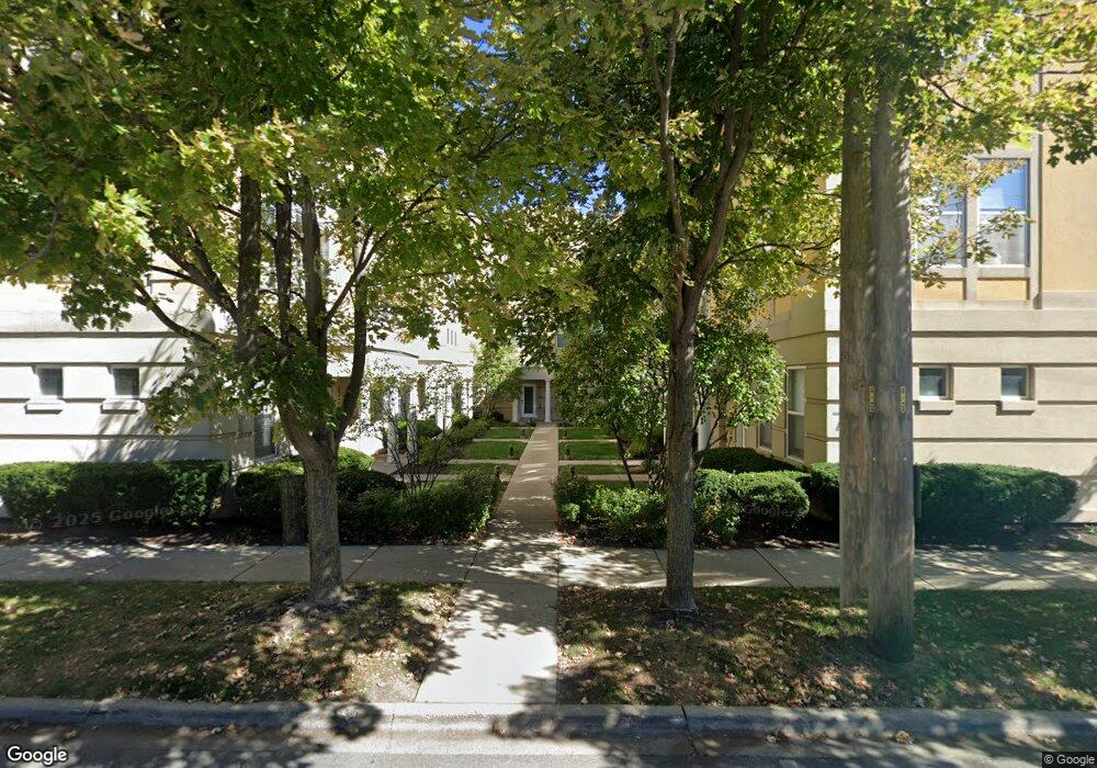
7541 Brown Ave Unit 202 Forest Park, IL 60130
Estimated Value: $400,000 - $435,644
3
Beds
3
Baths
2,300
Sq Ft
$182/Sq Ft
Est. Value
About This Home
This home is located at 7541 Brown Ave Unit 202, Forest Park, IL 60130 and is currently estimated at $419,661, approximately $182 per square foot. 7541 Brown Ave Unit 202 is a home located in Cook County with nearby schools including Garfield Elementary School, Field Stevenson Elementary School, and Forest Park Middle School.
Ownership History
Date
Name
Owned For
Owner Type
Purchase Details
Closed on
Jul 29, 2020
Sold by
Woods Daniel J and Woods Julia K
Bought by
Hunter Paula Maria
Current Estimated Value
Home Financials for this Owner
Home Financials are based on the most recent Mortgage that was taken out on this home.
Original Mortgage
$310,175
Interest Rate
2.8%
Mortgage Type
New Conventional
Purchase Details
Closed on
Jul 27, 2018
Sold by
Chicago Title Land Trust Company
Bought by
Woods David J and Woods Julia K
Home Financials for this Owner
Home Financials are based on the most recent Mortgage that was taken out on this home.
Original Mortgage
$255,600
Interest Rate
4.6%
Mortgage Type
New Conventional
Purchase Details
Closed on
Jun 29, 2017
Sold by
Manufacturers And Traders Trust Co
Bought by
Chicago Title Land Trust Co and Trust Number 8002375135
Home Financials for this Owner
Home Financials are based on the most recent Mortgage that was taken out on this home.
Original Mortgage
$61,000
Interest Rate
3.9%
Mortgage Type
New Conventional
Purchase Details
Closed on
Mar 15, 2017
Sold by
Barnhart Kevin L
Bought by
M & T Bank
Purchase Details
Closed on
Oct 13, 2004
Sold by
Mendoza Alejandro and Languido Darah
Bought by
Barnhart Kevin L
Home Financials for this Owner
Home Financials are based on the most recent Mortgage that was taken out on this home.
Original Mortgage
$284,000
Interest Rate
5.25%
Mortgage Type
Unknown
Purchase Details
Closed on
Oct 22, 2001
Sold by
Kolb Edward H and Kolb Jean M
Bought by
Languido Darah
Home Financials for this Owner
Home Financials are based on the most recent Mortgage that was taken out on this home.
Original Mortgage
$267,720
Interest Rate
6.68%
Purchase Details
Closed on
Aug 21, 1998
Sold by
Brown Street Ltd Partnership
Bought by
Kolb Edward H and Kolb Jean M
Home Financials for this Owner
Home Financials are based on the most recent Mortgage that was taken out on this home.
Original Mortgage
$180,500
Interest Rate
7.03%
Create a Home Valuation Report for This Property
The Home Valuation Report is an in-depth analysis detailing your home's value as well as a comparison with similar homes in the area
Home Values in the Area
Average Home Value in this Area
Purchase History
| Date | Buyer | Sale Price | Title Company |
|---|---|---|---|
| Hunter Paula Maria | $326,500 | Attorney | |
| Woods David J | $284,000 | Chicago Title Land Trust Com | |
| Chicago Title Land Trust Co | $245,000 | Boston National Title Agency | |
| M & T Bank | -- | Attorney | |
| Barnhart Kevin L | $355,500 | Ticor Title Insurance Compan | |
| Languido Darah | $276,000 | -- | |
| Kolb Edward H | $192,000 | -- |
Source: Public Records
Mortgage History
| Date | Status | Borrower | Loan Amount |
|---|---|---|---|
| Previous Owner | Hunter Paula Maria | $310,175 | |
| Previous Owner | Woods David J | $255,600 | |
| Previous Owner | Chicago Title Land Trust Co | $61,000 | |
| Previous Owner | Barnhart Kevin L | $284,000 | |
| Previous Owner | Languido Darah | $267,720 | |
| Previous Owner | Kolb Edward H | $180,500 | |
| Closed | Barnhart Kevin L | $53,250 |
Source: Public Records
Tax History
| Year | Tax Paid | Tax Assessment Tax Assessment Total Assessment is a certain percentage of the fair market value that is determined by local assessors to be the total taxable value of land and additions on the property. | Land | Improvement |
|---|---|---|---|---|
| 2025 | $8,551 | $34,438 | $1,648 | $32,790 |
| 2024 | $8,551 | $34,438 | $1,648 | $32,790 |
| 2023 | $8,437 | $34,438 | $1,648 | $32,790 |
| 2022 | $8,437 | $29,698 | $1,854 | $27,844 |
| 2021 | $8,976 | $29,697 | $1,853 | $27,844 |
| 2020 | $9,852 | $29,697 | $1,853 | $27,844 |
| 2019 | $9,022 | $25,623 | $1,688 | $23,935 |
| 2018 | $7,652 | $25,623 | $1,688 | $23,935 |
| 2017 | $7,504 | $25,623 | $1,688 | $23,935 |
| 2016 | $9,096 | $27,879 | $1,524 | $26,355 |
| 2015 | $8,909 | $27,879 | $1,524 | $26,355 |
| 2014 | $8,760 | $27,879 | $1,524 | $26,355 |
| 2013 | $5,968 | $21,083 | $1,524 | $19,559 |
Source: Public Records
Map
Nearby Homes
- 411 Ashland Ave Unit 1A
- 407 Ashland Ave Unit 3G
- 7415 Dixon St
- 208 Lathrop Ave
- 215 Rockford Ave
- 210 Des Plaines Ave Unit D
- 414 Franklin Ave Unit 3A
- 232 Des Plaines Ave
- 534 Lathrop Ave
- 7449 Washington St Unit 206
- 7449 Washington St Unit 207
- 7443 Washington St Unit 307
- 133 Franklin Ave
- 7421 Washington St
- 314 Lathrop Ave Unit 502
- 314 Lathrop Ave Unit 407
- 314 Lathrop Ave Unit 604
- 314 Lathrop Ave Unit 507
- 315 Des Plaines Ave Unit 607
- 315 Des Plaines Ave Unit 406
- 7541 Brown Ave
- 7541 Brown Ave Unit 209
- 7541 Brown Ave Unit 207
- 7541 Brown Ave Unit 206
- 7541 Brown Ave Unit 205
- 7541 Brown Ave Unit 201
- 7541 Brown Ave Unit 204
- 7541 Brown Ave Unit 208
- 7541 Brown Ave Unit 210
- 7541 Brown Ave Unit 203
- 7541 Brown Ave Unit E
- 7541 Brown Ave Unit J
- 7541 Brown Ave Unit G
- 7541 Brown Ave Unit I
- 7541 Brown Ave Unit A
- 7541 Brown Ave Unit B
- 7541 Brown Ave Unit F
- 7541 Brown Ave Unit 3
- 7531 Brown Ave Unit D
- 7531 Brown Ave Unit 109
Your Personal Tour Guide
Ask me questions while you tour the home.