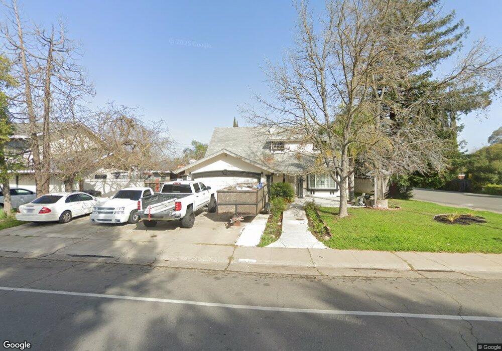
7545 Lindale Dr Sacramento, CA 95828
Estimated Value: $154,000 - $419,000
4
Beds
2
Baths
1,628
Sq Ft
$214/Sq Ft
Est. Value
About This Home
This home is located at 7545 Lindale Dr, Sacramento, CA 95828 and is currently estimated at $348,860, approximately $214 per square foot. 7545 Lindale Dr is a home located in Sacramento County with nearby schools including David Reese Elementary School, James Rutter Middle School, and Florin High School.
Ownership History
Date
Name
Owned For
Owner Type
Purchase Details
Closed on
Mar 9, 2010
Sold by
Quezada Carlos U
Bought by
Quezada Carlos U and Quezada Jose M
Current Estimated Value
Purchase Details
Closed on
Mar 12, 2008
Sold by
Simmons Beverly and Wilt Family Trust
Bought by
Quezada Carlos U
Home Financials for this Owner
Home Financials are based on the most recent Mortgage that was taken out on this home.
Original Mortgage
$128,250
Interest Rate
5.88%
Mortgage Type
Purchase Money Mortgage
Purchase Details
Closed on
Sep 21, 1999
Sold by
Wilt Shirley J
Bought by
Wilt Shirley J and Wilt Family Trust
Create a Home Valuation Report for This Property
The Home Valuation Report is an in-depth analysis detailing your home's value as well as a comparison with similar homes in the area
Home Values in the Area
Average Home Value in this Area
Purchase History
| Date | Buyer | Sale Price | Title Company |
|---|---|---|---|
| Quezada Carlos U | -- | None Available | |
| Quezada Carlos U | $135,000 | Stewart Title Of Sacramento | |
| Wilt Shirley J | -- | -- |
Source: Public Records
Mortgage History
| Date | Status | Borrower | Loan Amount |
|---|---|---|---|
| Previous Owner | Quezada Carlos U | $128,250 |
Source: Public Records
Tax History Compared to Growth
Tax History
| Year | Tax Paid | Tax Assessment Tax Assessment Total Assessment is a certain percentage of the fair market value that is determined by local assessors to be the total taxable value of land and additions on the property. | Land | Improvement |
|---|---|---|---|---|
| 2025 | $3,615 | $177,310 | $45,967 | $131,343 |
| 2024 | $3,615 | $173,834 | $45,066 | $128,768 |
| 2023 | $3,724 | $170,427 | $44,183 | $126,244 |
| 2022 | $1,903 | $167,086 | $43,317 | $123,769 |
| 2021 | $3,304 | $163,811 | $42,468 | $121,343 |
| 2020 | $3,258 | $162,132 | $42,033 | $120,099 |
| 2019 | $3,209 | $158,954 | $41,209 | $117,745 |
| 2018 | $2,767 | $155,838 | $40,401 | $115,437 |
| 2017 | $2,726 | $152,783 | $39,609 | $113,174 |
| 2016 | $2,405 | $149,788 | $38,833 | $110,955 |
| 2015 | $1,610 | $147,539 | $38,250 | $109,289 |
| 2014 | $1,584 | $144,650 | $37,501 | $107,149 |
Source: Public Records
Map
Nearby Homes
- 7548 Lindale Dr
- 6944 Mirador Way
- 7020 Sunnyslope Dr
- 6837 Southwood Way
- 7312 Del Prado Way
- 7631 Verna Mae Ave
- 7442 Della Cir
- 6990 Chris Ave
- 7413 Skander Way
- 7825 Rockhurst Way
- 6400 66th Ave Unit 21
- 7928 Rockhurst Way
- 6920 Farmington Way
- 6924 Peck Dr
- 6916 Farmington Way
- 7309 Power Inn Rd
- 6941 Wagon Wheel Way
- 6912 Richeve Way
- 7551 Red Bud Ln
- 7548 Huckleberry Ln
- 7541 Lindale Dr
- 6964 Mirador Way
- 6960 Mirador Way
- 7601 Lindale Dr
- 7537 Lindale Dr
- 6956 Mirador Way
- 7544 Lindale Dr
- 7247 Rimrock Dr
- 7533 Lindale Dr
- 7605 Lindale Dr
- 6952 Mirador Way
- 7540 Lindale Dr
- 7243 Rimrock Dr
- 6928 Sandrock Way
- 6963 Mirador Way
- 6959 Mirador Way
- 6932 Sandrock Way
- 6955 Monte Casino Way
- 6948 Mirador Way
- 7611 Lindale Dr