NOT LISTED FOR SALE

755 Burning Tree Dr Defiance, OH 43512

Estimated Value: $324,000 - $375,000

0.39 Acre
$885,194 Price per Acre
17,076 Sq Ft Lot

Last Sold December 05, 2013

Last sale price $34,105

Est. 892% increase in value since last sale

Current estimated payment $2,144/month

328 Days on Market

About This Lot

As of December 2013

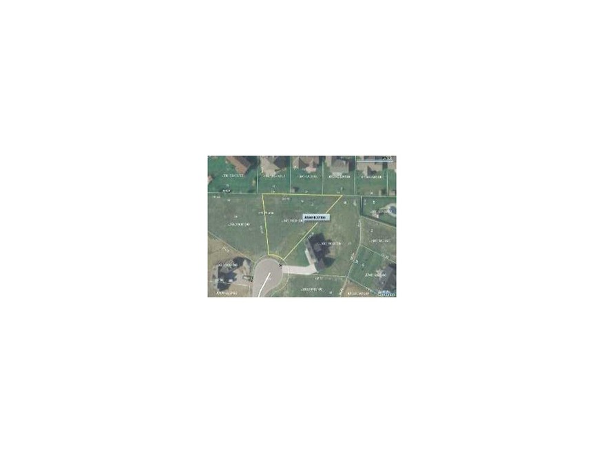
This home is located at 755 Burning Tree Dr, Defiance, OH 43512 since 02 January 2013 and is currently estimated at $346,996. 755 Burning Tree Dr is a home located in Defiance County with nearby schools including Noble Elementary School, Tinora Elementary School, and Tinora Middle School.

Last Agent to Sell the Property

Gary Butler

Butler Real Estate LLC License #0000336670 Listed on: 01/02/2013

Co-Listed By

Anne Gregory

Northwest Real Estate Services License #2010001731

Last Buyer's Agent

Cindi Sprague

RE/MAX Realty of Defiance License #0000419712

Property Details

Property Type

  • Land

Est. Annual Taxes

  • $3,505

Lot Details

  • Lot Dimensions are 44x163x238x473
  • Cul-De-Sac
  • Corner Lot
  • Level Lot
  • Irregular Lot

Schools

  • Tinora Elementary School
  • Tinora High School

Utilities

  • Underground Utilities
  • Cable TV Available

Community Details

  • The community has rules related to covenants, conditions, and restrictions

Listing and Financial Details

  • Assessor Parcel Number J050019C01900

Property Details

Property Type

Land

Est. Annual Taxes

$3,505

Lot Details

0

Listing Details

  • Topography: Level,Other
  • Property Type: Land
  • Property Sub Type: Land
  • Lot Size: 44x163x238x473
  • Road Frontage Type: City Street
  • Road Surface Type: Paved
  • Co List Office Mls Id: BUTL02
  • Co List Office Phone: (419) 784-4500
  • Inclusions: ,,
  • Subdivision Name: Other
  • Property Sub Type Additional: Land
  • Special Features: None

Interior Features

  • Possible Use: Residential

Exterior Features

  • Lot Features: Buildable, Corner Lot, Cul-De-Sac, Irregular Lot, Other, Level, Subdivision
  • Waterfront Features: Other
  • Disclosures: Sellers Disclosure Not Available, Covenants/Restrictions Disclosure
  • Other Structures: None

Utilities

  • Utilities: Cable Available, Electricity Available, Natural Gas Available, Underground Utilities
  • Sewer: Sanitary, Storm Sewer
  • Water Source: Public

Schools

  • Junior High Dist: Northeast

Lot Info

  • Development Status: Completed, Other
  • Parcel #: J050019C01900
  • ResoLotSizeUnits: Acres

MLS Schools

  • Elementary School: Tinora
  • HighSchool: Tinora

Ownership History

Date Name Owned For Owner Type

Purchase Details

Closed on
Aug 24, 2020
Sold by
Brown Diann E and Brown William D
Bought by
Bird Leslee L
Current Estimated Value
$338,253

Home Financials for this Owner

Home Financials are based on the most recent Mortgage that was taken out on this home.
Original Mortgage
$192,000
Outstanding Balance
$140,247
Interest Rate
3%
Mortgage Type
New Conventional
Estimated Equity
$203,840

Purchase Details

Closed on
Jul 15, 2014
Sold by
Brown William D and Brown Diann E
Bought by
Diann E Brown Living Trust

Purchase Details

Listed on
Jan 2, 2013
Closed on
Dec 4, 2013
Sold by
Hayco & Associates Inc
Bought by
Brown William D and Brown Diann E
Seller's Agent
Gary Butler
Butler Real Estate LLC
Buyer's Agent
Cindi Sprague
RE/MAX Realty of Defiance
List Price
$35,900
Sold Price
$34,105
Premium/Discount to List
-$1,795
-5%

Home Financials for this Owner

Home Financials are based on the most recent Mortgage that was taken out on this home.
Avg. Annual Appreciation
21.84%
Original Mortgage
$166,000
Interest Rate
3.62%
Mortgage Type
Adjustable Rate Mortgage/ARM

Purchase Details

Closed on
Jan 10, 2002
Bought by
Brown Diann E & William D Trustees
Source: Public Records

Range of Values:

Collateral Analytics

Collateral Analytics Collateral Analytics AVMs (Automated Valuation Model) employ a number of statistical approaches combined with neighborhood-specific comparable selection guarantees the most up-to-date and precise valuations.

Not Available

Collateral Analytics does not have data for the current month. Please view the chart for historical values.

ICE

ICE Mortgage Technology ICE Mortgage Technology’s AVM (Automated Valuation Model) is a state-of-the-art online residential property valuation tool that provides a quick and accurate estimate of the value of almost any home in the U.S.

Not Available

ICE Mortgage Technology does not have data for the current month. Please view the chart for historical values.

First American

First American First American Data & Analytics’ next-generation AVM combines unrivaled data assets with a blended ensemble of valuation models to produce highly accurate, reliable valuations you can trust.

Not Available

First American does not have data for the current month. Please view the chart for historical values.

Quantarium

Quantarium Quantarium’s valuation service, repeatedly proven the industry’s most accurate and comprehensive, is supercharged with a self-learning and auto-tuning AI engine that continually becomes smarter and more accurate as it processes daily inputs from the industry’s leading RE data lake.

Not Available

Quantarium does not have data for the current month. Please view the chart for historical values.

Average Value
Not Available
List Price
Sold Price
Create a Home Valuation Report for This Property
The Home Valuation Report is an in-depth analysis detailing your home's value as well as a comparison with similar homes in the area

Home Values in the Area

Source: Public Records

Average Home Value in this Area


Source: Public Records

Purchase History

Date Buyer Sale Price Title Company
Bird Leslee L $240,000 None Available
Diann E Brown Living Trust -- None Available
Brown William D $34,125 None Available
Brown Diann E & William D Trustees -- --
Source: Public Records

Mortgage History

Date Status Borrower Loan Amount
Open Bird Leslee L $192,000
Previous Owner Brown Diann E $82,000
Previous Owner Brown William D $166,000
Source: Public Records

Property History

Date Event Price Change Sq Ft Price
12/05/2013 12/05/13 Sold $34,105 -5.0% --
11/25/2013 11/25/13 Pending -- -- --
01/01/2013 01/01/13 For Sale $35,900 -- --
Source: Northwest Ohio Real Estate Information Service (NORIS)

Tax History Compared to Growth

Source: Public Records

Tax History

Year Tax Paid Tax Assessment Tax Assessment Total Assessment is a certain percentage of the fair market value that is determined by local assessors to be the total taxable value of land and additions on the property. Land Improvement
2024 $3,505 $103,260 $13,820 $89,440
2023 $3,505 $103,260 $13,820 $89,440
2022 $3,399 $84,560 $13,820 $70,740
2021 $3,399 $84,560 $13,820 $70,740
2020 $2,990 $84,560 $13,820 $70,740
2019 $2,640 $77,570 $13,830 $63,740
2018 $2,669 $77,570 $13,830 $63,740
2017 $2,377 $77,571 $13,832 $63,739
2016 $2,051 $66,252 $13,797 $52,455
2015 $185 $66,252 $13,797 $52,455
2014 $185 $13,797 $13,797 $0
2013 $185 $9,656 $9,656 $0
2012 $185 $9,657 $9,657 $0
Source: Public Records

Agents Affiliated with this Home

  • Section Image
  • Section Image
  • Section Image
See All Agents

Map

Source: Northwest Ohio Real Estate Information Service (NORIS)

MLS Number: 5051132

Northwest Ohio Real Estate Information Service (NORIS)

APN: J05-0019-C-019-00